Decentralization of land inventory authority after administrative unit arrangement
The Ministry of Agriculture and Environment has sent a document to the People's Committees of provinces and cities on synthesizing land inventory data and maps the current land use status in 2024 of all levels after the arrangement of administrative units.
This ministry requires the inventory to be completed and all results sent to the ministry via the online system before August 20, 2025.
Mr. Pham Ngo Hieu - Deputy Director of the Department of Land Management (Ministry of Agriculture and Environment) said that implementing the arrangement according to administrative units according to the two-level local government apparatus according to the Resolutions of the 13th Party Central Committee, the National Assembly, the National Assembly Standing Committee, the Government on the arrangement of administrative units and building a model of organizing local government at 2 levels, decentralization in land inventories has been regulated by the Ministry of Agriculture and Environment in Circular No. 23/2025/TTBNNMT dated June 20, 2025 regulating decentralization and division of state management authority in the land sector.
Accordingly, the Commune People's Committee will synthesize, complete and directly submit the results of land inventories to the provincial level (not conducting land inventories, maping the current status of land use for the district level).
The provincial land management agency is responsible for receiving, inspecting and compiling land inventory data from the commune level according to the boundaries of the new administrative units according to the direction of the provincial People's Committee.
Mr. Pham Ngo Hieu shared that in recent times, the whole country has carried out a "revolution" to streamline the apparatus and reorganize administrative units, this is not simply a change in administrative boundaries but a milestone to open a new development stage with a two-level local government apparatus, streamlined, effective, efficient and closer to the people, serving the people better.
Through monitoring the situation of localities, the work of synthesizing land inventory data and maping the current land use status in 2024 of the commune level after the arrangement according to the boundaries of new administrative units is still being implemented by the Department of Agriculture and Environment of provinces and cities despite being in the process of organizing the arrangement and shaping the organizational apparatus very busy. Up to now, the Ministry of Agriculture and Environment has received and updated the administrative boundaries at the commune and provincial levels of 20/34 provinces and cities to serve the data submission of localities.
Based on the results of land inventories, authorities at all levels will have a basis to fully assess the current situation of land resources to propose solutions to improve land use efficiency to serve the socio-economic development of the locality as well as the whole country, in addition, through land inventory activities, authorities at all levels need to analyze and evaluate the land use situation in the area to identify problems, shortcomings and even outstanding violations to propose solutions to strengthen land management in accordance with local realities.
Land inventory to open up development resources
Mr. Pham Ngo Hieu - Deputy Director of the Department of Land Management (Ministry of Agriculture and Environment) - shared that land inventory is an activity to quantitize the current status of land management and use of each administrative unit at all levels and the whole country, assess the situation of land management and use at all levels within 5 years and propose mechanisms, policies and measures to strengthen state management of land, improve land use efficiency; serve the need for land information for socio-economic activities, national defense, security, scientific research, education, training, other needs of the State and society, as a basis for adjusting planning, plans for land use of national defense, national defense and security at all levels...
The 2024 Land Law has a separate Article 56 to regulate the principles of land statistics and inventories, therefore, in order for land inventory activities to be substantial and non-formal, the steps to conduct land inventories at each level need to be implemented seriously and in accordance with the prescribed principles.
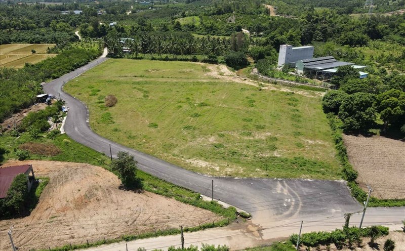
Entering the era of development, the era of national growth, with the requirement to create a breakthrough in mobilizing and optimizing the use of the country's very potential resources, land resources are a resource that needs to be identified and exploited to create material wealth. The main task of land inventory is to determine and convert the current status of land management and use of each administrative unit at all levels, thereby the government can determine the land resources of each locality to meet development requirements.
From there, the Central Government and authorities at all levels have "correct and correct" solutions to put land resources into effective exploitation, contributing to the completion of short-term goals, while creating a solid foundation for sustainable development in each locality, contributing to the goal of double-digit growth in the coming time.


