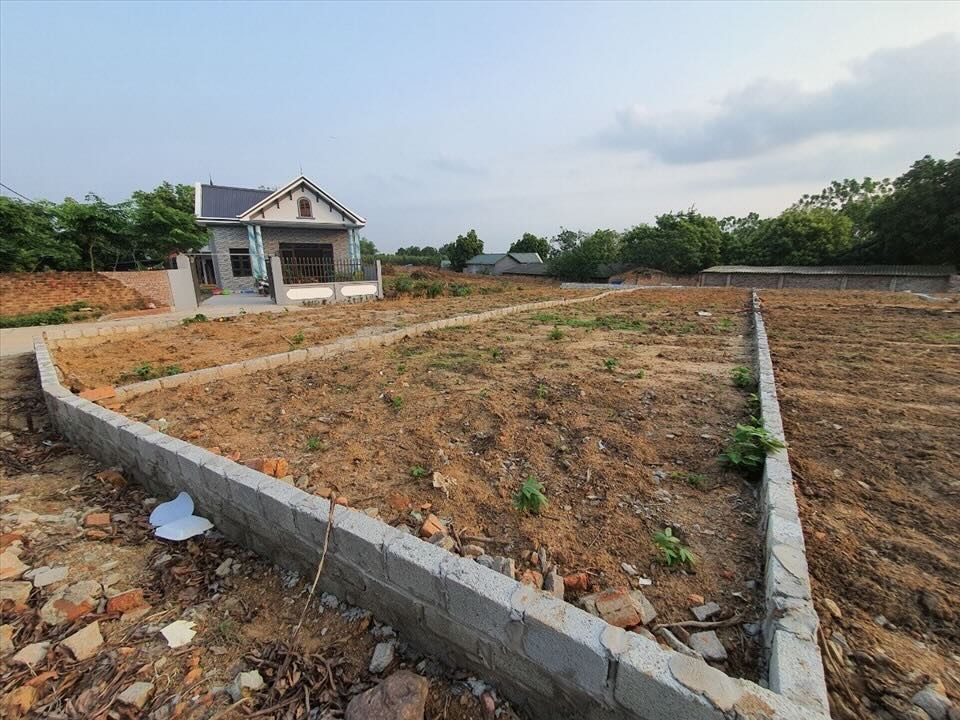
According to the 2024 Land Law, when implementing land division, land users are required to ensure that each newly formed land plot has a path to a public road. This regulation aims to prevent the situation of land being "surrounded", unable to be used or transferred later. In fact, in many cases, the seller "circumvented the law" by making a mouthful commitment or drawing a hand chart, but it was not clearly shown on the land use right certificate (red book).
Article 220 of the 2024 Land Law also emphasizes that when dividing or merging a plot of land and arising a path, this section of the path must be clearly noted on the cadastral map and the plot diagram in the red book.

Circular 10/2024/TT-BTNMT details the representation of boundaries, areas and common land use areas as walkways, ensuring transparency of rights and responsibilities between the parties.
In case the path is not clearly shown, the buyer needs to request the seller to add it to the drawing, complete the procedures to register land changes at the district-level land registration office. If the transaction is unclear, buyers are at risk of having to negotiate with surrounding households or file a lawsuit to open a path, causing time and disputes.
The law also gives land users whose paths are "surrounded" the right to open a reasonable path through adjacent land according to Article 254 of the 2015 Civil Code. However, this is only the final solution, which is both labor-consuming and easily leads to litigation.
To avoid risks, real estate experts recommend that people should carefully check the land use right certificate before buying a plot of land, compare it with the cadastral chart drawings to ensure the path is clearly marked. If the path is shared, there must be a specific agreement and registration of the right to use it according to regulations.
Buying land is a large asset, don't let yourself get into trouble just because of a "paper" path that is not recognized by law.


