
From June 2026 to now, many northern mountainous provinces have continuously experienced heavy rains. This situation has caused soil and rocks in many areas to be saturated with water, increasing the risk of landslides and flash floods.
Talking to Lao Dong Newspaper, a representative of the Department of Dyke Management and Natural Disaster Prevention and Control (Ministry of Agriculture and Environment) said that some points have recorded particularly heavy rainfall such as: Xuan Minh (Tuyen Quang province) with 1,832mm; Mong Cai (Quang Ninh province) 1,770mm; Hua Bum (Lai Chau province 1,716mm); Che Tao (Lao Cai province 1,666mm); Nam Pam (Son La province 1,590mm) and Na Tau (Dien Bien province) 1,435mm...
Heavy rain has saturated soil and rocks in many areas, causing a high risk of landslides; if heavy rain continues to occur, especially heavy rain in a short period of time, especially in the above-mentioned provinces, there is a risk of landslides," said a representative of the Dyke Management and Disaster Prevention Department.
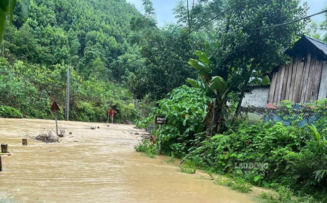
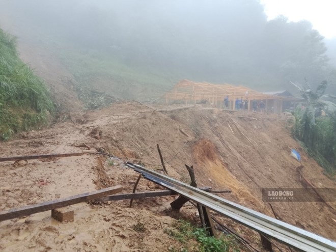
The Department of Dyke Management and Disaster Prevention and Control also informed that, implementing the provisions of the Law on Disaster Prevention and Control, disaster response plans are built at all levels in accordance with the developments and actual situation in the locality, focusing on evacuation plans, ensuring safety for people in high-risk areas, as well as ensuring traffic, communication, security and order, protecting disaster prevention and control works, key projects,...
The National Steering Committee for Civil Defense, Ministry of Agriculture and Environment has issued documents guiding and urging localities to develop disaster response plans and review and update plans before the annual rainy and flood season.
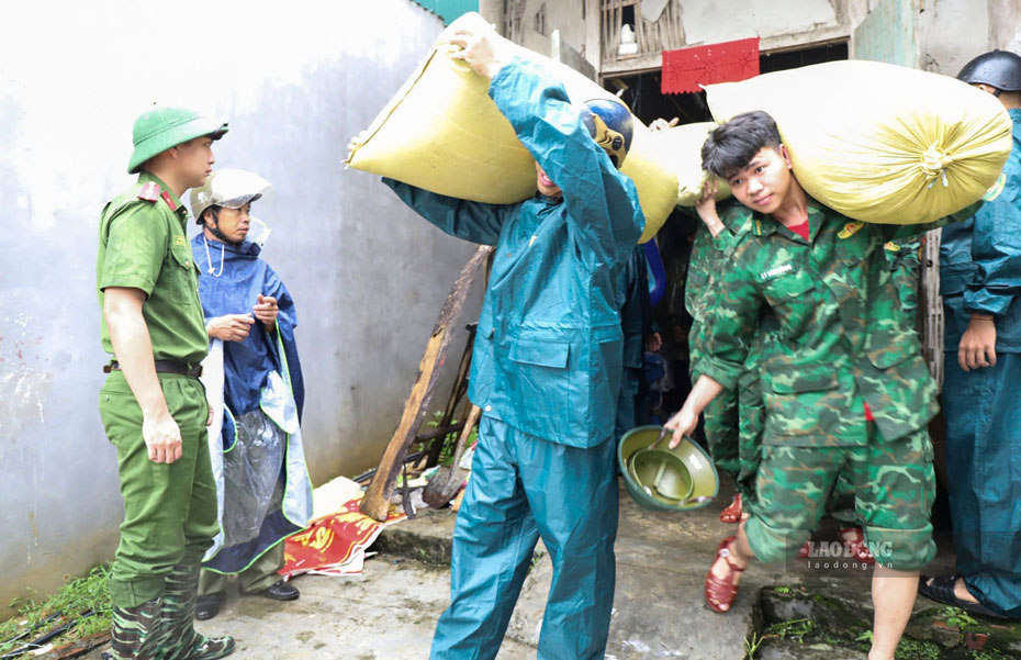
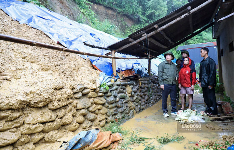
In fact, based on identifying high-risk points for landslides and flash floods, communes have developed response plans, including compiling a list of each household in high-risk areas that must be evacuated; at the same time, identifying evacuation points such as schools, agency headquarters, community centers; forces and vehicles to support people and ensure food and necessities for people in evacuation areas.
At the same time, for traffic road points at risk of landslides, localities have built plans, prepared forces, materials, and vehicles to handle traffic flow at key locations; communication plans to serve command and search and rescue when situations arise.
To minimize damage caused by natural disasters, the Department requests local authorities to regularly review and update response plans, specifically identify the number of households located in dangerous areas and prepare relocation plans.
Localities must closely monitor forecast and warning bulletins; put up signs in areas at risk of landslides; organize training in disaster prevention skills; review houses located on mountainsides, slopes, and areas with signs of unsafety to proactively relocate.
When there is a warning of heavy rain, the grassroots shock force needs to organize patrols and inspect key points. If abnormal signs are detected such as cracked soil and rocks, leaning trees, cloudy water flowing from the hillside, strange noises in the ground or small rocks falling down, people must be immediately evacuated to a safe place.
For the community, the Department recommends that people proactively learn about natural disaster risks around their living areas, regularly monitor warnings and strictly comply with the government's instructions.


