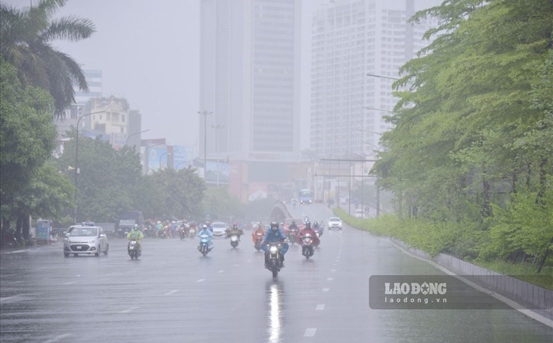
In the latest news released at 11:10 from the National Center for Hydro-Meteorological Forecasting, on satellite images, lightning positioning data and weather radar images, convective clouds are developing in the Van Canh, Phuong Canh, Mai Dich, Tay Mo, Yen Hoa areas of Hanoi city. This cloud area is showing an increasingly strong development trend.
The current thunderstorms have caused showers and thunderstorms in the above areas and are likely to spread to other areas of Hanoi city. The forecast of showers and thunderstorms in Hanoi will continue for about the next 1 - 3 hours.
The meteorological agency warns that thunderstorms are likely to cause tornadoes, lightning and strong gusts of wind.
The National Center for Hydro-Meteorological Forecasting recommends that people limit going out and proactively prevent dangerous weather phenomena, especially in areas with many trees or advertising signs.
Regarding the rainfall trend in July, it is forecasted that the total rainfall in the North and the provinces from Thanh Hoa to Quang Tri will generally be 20 - 50% higher than the average of many years in the same period; the remaining areas will generally be 5 - 15% lower than the average of many years in the same period.
During the forecast period, the Northern region, Thanh Hoa to Ha Tinh are likely to experience some widespread heavy rains.
On a national scale, there is a continued possibility of dangerous weather phenomena such as thunderstorms, tornadoes, lightning, hail and strong gusts of wind.