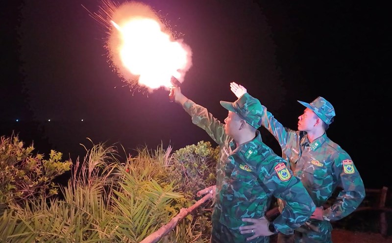
Mobilizing more than 300,000 officers and soldiers to fight the storm
In the meeting tonight, September 22 at the Ministry of Agriculture and Environment on responding to storm No. 9 Ragasa, Major General Pham Hai Chau - Deputy Director of the Department of Rescue - Relief (Ministry of the General Staff of the Vietnam People's Army) - said that currently, units in the area expected to be affected by storm No. 9 have prepared plans and solutions. More than 300,000 officers, soldiers, militia, more than 8,000 vehicles and 6 aircraft are ready to respond when situations arise.
The Ministry of National Defense has directed the Border Guard Commands of all sea routes to call, notify, count vessels to grasp the situation, and at the same time instruct fishermen on the path of the storm, proactively have timely shelter plans, and ensure safety for people and vehicles.
At the same time, it called for, counted, and instructed more than 54,058 vehicles with 215,743 fishermen to know the path of the storm to take safe shelter. Up to now, all vehicles have been fully informed about this storm.

Major General Pham Hai Chau noted that we must absolutely not be subjective in the face of storm No. 9 because this is a storm with very complicated developments.
The Major General suggested that localities and agencies and units be ready to review response plans and plans, and carefully inspect key areas at risk of incidents to arrange appropriate forces. In particular, it is necessary to focus on Quang Ninh province, which is often affected by storm circulation and mountainous areas at high risk of landslides due to heavy rain.
Tightly control boats and reservoirs before super typhoon No. 9
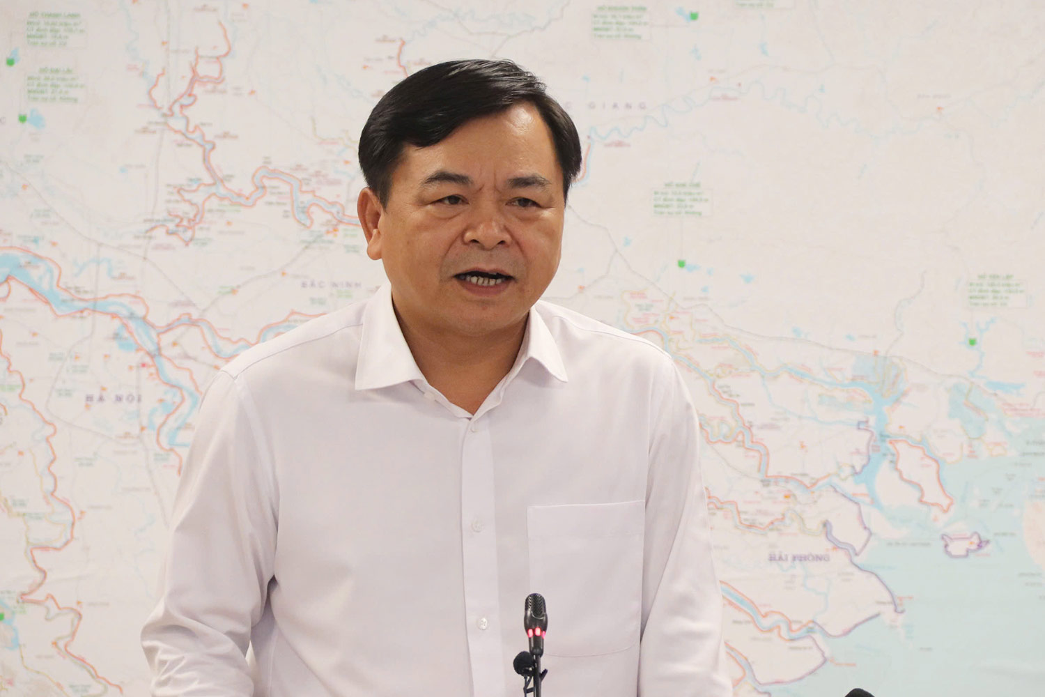
At the meeting, Deputy Minister Nguyen Hoang Hiep - Deputy Minister of Agriculture and Environment emphasized the need to grasp the situation of storm No. 9.
"Up to now, it can be affirmed that storm No. 9 entering the East Sea is the strongest storm in the world in 2025 and this is also the strongest storm in history in the East Sea," said Deputy Minister Nguyen Hoang Hiep.
The Deputy Minister also said that according to the current scenario, when entering the East Sea, due to some unfavorable factors, storm No. 9 may gradually decrease in intensity.
It is forecasted that from the early morning of September 25, the storm will start affecting the Gulf of Tonkin, then the crab in this area will make landfall at noon or early afternoon of September 25. When entering the Gulf of Tonkin, the storm is likely to maintain level 9-10, gust level 13-14; when making landfall, the intensity is about level 8-9, gust level 11-12.
However, he said that this was just a forecast, the accuracy was not high. But this will definitely be a storm affecting Vietnam, first of all at sea. Therefore, the first thing is to strictly control the operation of ships.
The second problem is aquaculture cages. Currently, the Northern and North Central regions and this sea area currently have about 160,000 hectares of farming, which need to be strictly controlled.
The most worrying thing is the rainfall and safety of the reservoir. Currently, hydroelectric and irrigation reservoirs are at the end of the main flood season, many reservoirs are almost full. If the storm causes 150-450 mm of rain, the operation will be very difficult. Hydropower reservoirs are currently maintaining an average of about 80 - 90% of their capacity. Therefore, it is necessary to closely monitor the meteorological bulletin, the basis for discharging floodwater appropriately, avoiding passive situations.
In addition, this storm is very strong, with a wide circulation, combined with cold air, which can cause extreme weather phenomena both at sea and on land such as thunderstorms, whirlwinds, lightning...
Regarding the crop season, the Deputy Minister also emphasized that we currently have 810,000 hectares of rice, of which only about 200,000 hectares have been harvested and about 600,000 hectares are still green, so if the storm cannot be harvested, it will cause huge damage.
Finally, the Deputy Minister requested the National Center for Hydro-Meteorological Forecasting to ensure information on storm developments from 3 hours/time. Propagating information about hotline 112 - the national emergency phone number established to provide a communication channel to request assistance and search and rescue nationwide.