The Philippine Atmospheric, Geophysical and Astronomical Services Administration (PAGASA) said that since 2:00 p.m. on June 16, low pressure LPA 6c has been active in the Philippine Forecast Area (PAR), over the waters of Concepcion and Iloilo.
The latest storm news from PAGASA shows that the low pressure is unlikely to strengthen into a tropical depression in the next 24 hours. However, this system is significantly affecting the weather in many areas of the Central and Southern Philippines.
LPA 6c is forecast to bring moderate to heavy rain, with some places experiencing very heavy rain in the Visayas, Bicol region, Romblon province, Quezon and Marinduque.
PAGASA warned that these heavy rains could lead to flash floods and landslides, especially in steep terrain and residential areas along rivers and streams. Residents in affected areas are advised to be vigilant and monitor announcements from meteorological agencies and local authorities.
Within the framework of the Storm and Flood Acknowledgement Week, the Ministry of Science and Technology of the Philippines and PAGASA are implementing a series of activities to enhance capacity for natural disaster prevention with the theme: "Active storm prevention, safety for the community".
The highlight of this occasion is the upgrading of the national hydrometeorological monitoring platform PANaHON. The new system integrates interactive maps with the ability to search by location, forecast time, displaying detailed rainfall, wind, pressure and temperature. In particular, the warning for the area has now been compiled and presented through clear, easy-to- retire color symbols.
Since the beginning of the year, the Philippines has been affected by storm No. 1 Auring. However, just 6 hours after strengthening into a storm, Auring weakened into a low pressure area and quickly left the Philippine Forecast Area (PAR) at 2:00 a.m. on June 13.
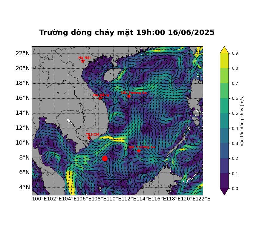
Meanwhile, the Vietnam National Center for Hydro-Meteorological Forecasting said that in the next 3 months, storms and tropical depressions operating in the East Sea and affecting the mainland of Vietnam are likely to be at a level close to the average of many years.
From now until the end of 2025, it is forecasted that there will be about 5 storms and tropical depressions making landfall in Vietnam; dangerous weather phenomena such as thunderstorms, whirlwinds, lightning, and hail will continue to occur nationwide.
On June 17, the Vietnam National Center for Hydro-Meteorological Forecasting continued to issue warnings of local heavy rain and strong gusts of wind in the Northern region. Some places have heavy rain with common rainfall of 15-30mm, some places have over 60mm (concentrated in the evening and at night).
The mountainous areas of the North will have rain, moderate rain at night, locally heavy rain to very heavy rain, with rainfall of 20-50mm, some places over 100mm.
The center also issued warnings of flash floods, landslides, and land subsidence due to heavy rain or water flow in the areas of Hoa Binh and Dak Nong provinces.


