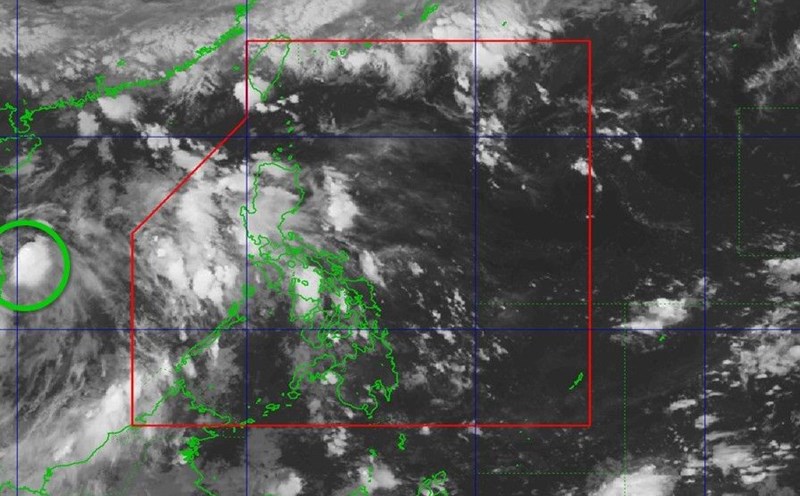
According to the latest storm news from AccuWeather, storm No. 1 Alvin is expected to affect northwestern Mexico today.
The storm was formed from a thunderstorm off the pacific, the meteorologist closely monitored from the beginning of the week. By the afternoon of May 28, the system developed into the No. 1 tropical depression and quickly became a tropical storm in Alvin - the first storm of the 2025 storm in the Pacific.
As of the morning of May 30 (local time), Alvin has maintained maximum sustained winds of about 80 km/h, with stronger gusts. Despite encountering dry air near the center of the storm, Alvin still took advantage of favorable conditions in the upper atmosphere to reorganize the structure and maintain the intensity of tropical storms.
The forecast of storms shows that Alvin will keep the storm intensity until the end of May 31, before weakening when entering the cold sea near the Baja California peninsula. However, the risk of heavy rain, flash floods and landslides still exist, especially in the southern region of Baja California Sur - where steep terrain and landslides.
"Just a few kilometers of rain can cause serious landslides and flash floods, especially in mountainous and hilly areas west of Mexico," AccuWeather meteorologist warned.
Even if Alvin weakens and dissipates over land, the remaining moisture from the storm will not completely disappear. Forecasts show that moisture from the storm will be sucked towards the Sierra Madre and could spread to New Mexico and Arizona early next week.
According to AccuWeather, this phenomenon will combine with moisture from the Gulf of Mexico and the Pacific Ocean, causing widespread thunderstorms in the western United States.
"This convergence of moisture, combined with melting ice and snow from the Rockies, could cause sudden, dangerous flooding in the highlands," said expert Brand Buckingham.
Alvin is a season-to-date reminder of a potential raucky Pacific hurricane season. People in the coastal areas of western Mexico and the western United States need to closely monitor weather developments and prepare for unusual changes in the coming days.


