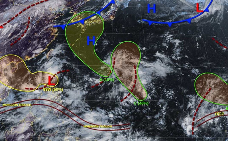
The latest storm information from the Philippine Atmospheric, Geophysical and Astronomical Services Administration (PAGASA) said that as of 8:00 a.m. this morning (August 27), low pressure 08f in the Philippine Forecast Area (PAR) had dissipated.
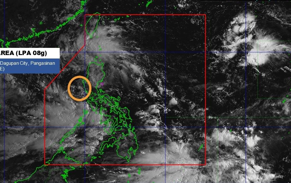
Meanwhile, low pressure 08g inside the PAR has strengthened into a tropical depression over the North East Sea.
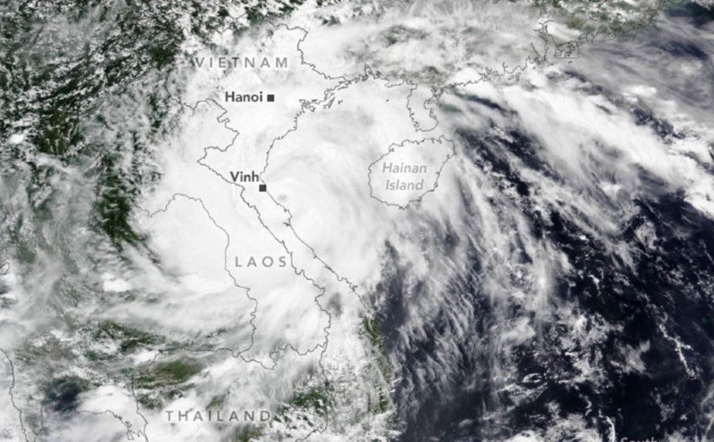
According to the weather forecast bulletin of the Vietnam National Center for Hydro-Meteorological Forecasting, at 10:00 a.m. on August 27, the center of the tropical depression was at about 17.7 degrees North latitude; 119.0 degrees East longitude.
The strongest wind near the center of the tropical depression is level 6 (39-49 km/h), gusting to level 8. The tropical depression is moving in a West-Southwest direction at a speed of 10-15km/h.
It is forecasted that by 10:00 on August 28, the center of the tropical depression will be at 16.8 degrees North latitude, 115.3 degrees East longitude; about 410km east of Hoang Sa Special Zone. Intensity level 6-7, gust level 9. The tropical depression is moving in a West-Southwest direction at a speed of 15-20 km/h, likely to strengthen. The eastern sea area of the North East Sea is at risk of level 3 natural disasters.
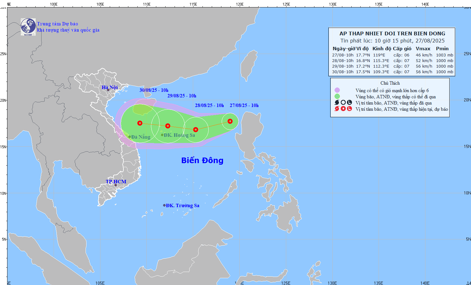
At 10:00 on August 29, the center of the tropical depression was at 17.2 degrees North latitude, 112.3 degrees East longitude, in the sea area of Hoang Sa special zone. Strong intensity level 7, gust level 9. The low pressure is moving westward at a speed of about 15km/h. The North East Sea area (including Hoang Sa special zone) is at risk of level 3 natural disasters.
It is forecasted that due to the impact of the tropical depression, the eastern sea area of the North East Sea will have strong winds of level 6-7, gusts of level 9; waves 2.0-4.0m high, rough seas.
Ship operating in the above-mentioned dangerous areas are likely to be affected by thunderstorms, whirlwinds, strong winds, and large waves.