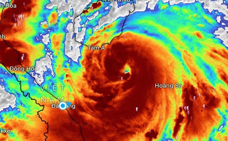
The latest storm news from the Vietnam National Center for Hydro-Meteorological Forecasting said that at 10:00 a.m. on August 25, the center of storm No. 5 was at about 18.4 degrees North latitude; 106.8 degrees East longitude, about 120km East Southeast of Nghe An, about 100km East Southeast of Ha Tinh, about 100km East, about 130km East Northeast of Bac Quang Tri.
The strongest wind is level 13-14 (134-166 km/h), gusting to level 16.
It is forecasted that in the next 3 hours, the storm will move in a West-Northwest direction, at a speed of about 15 km/h. With the above distance, the storm will make landfall in about 5 hours, the area expected to be Nam An bordering Ha Tinh.
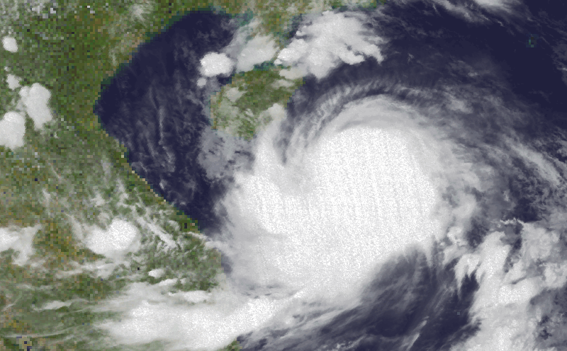
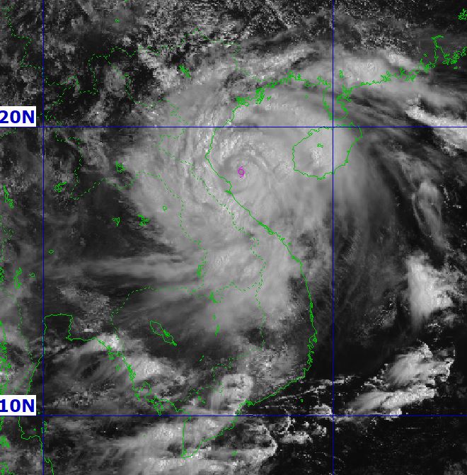
Satellite imagery shows that the eye of the storm has not changed much with a huge circulating cloud drive.
Storm No. 5 not only caused heavy rain and strong gusts of wind in Vietnam but also in China and Thailand.
The Thai Meteorological Department (TMD) said on August 25 that Kajiki will continue to strengthen, causing heavy to very heavy rain across the country. Bangkok is forecast to see heavy rain with a 70% probability, while strong winds and rough seas will occur in the Andaman Sea and the Gulf of Thailand.
In the next 24 hours, the Northern, Northeastern, Eastern and Western provinces of Southern Thailand will have heavy to very heavy rain. People in Nan, Nong Khai, Bueng Kan, Sakon Nakhon, Nakhon Phanom, Trat, Ranong and Phang Nga are advised to be vigilant against flash floods, landslides, and rising water due to heavy rain, especially in the foot of mountains and low-lying areas near rivers and streams.
Waves in the North East Sea and the Gulf of Thailand are forecast to be 2-3m high, possibly exceeding 3m when there are thunderstorms. The South Andaman Sea will have waves about 2m high, increasing by over 2m in the storm area. Fishermen are advised to be cautious and avoid going into thunderstorms; small boats in the North East Sea of Andaman and the North Gulf of Thailand should temporarily stop going out to sea.
Previously, on August 24, Typhoon Kajiki caused heavy rain and strong winds on Hainan Island and part of Guangdong Province (China). About 20,000 people have been evacuated from the danger zone, more than 21,000 fishermen and crew members have returned to shore, and boats have returned to port, according to Tan Hoa commune.
A video posted by Quang Dong Radio and Television shows strong gusts of wind breaking tree branches, big waves tilting the boat and overfloating the wharf.
The National Meteorological Center said that Typhoon Kajiki will strengthen as it moves west at sea, with maximum sustained winds of 162 km/h. Rainfall is forecasted from 250-350 mm in the southern area of Hainan Island, including the famous tourist city of Tam A.
The Tam A government has closed many businesses, tourist areas, suspended public transportation and sea transportation. The government has called on people to limit going out if not really necessary.