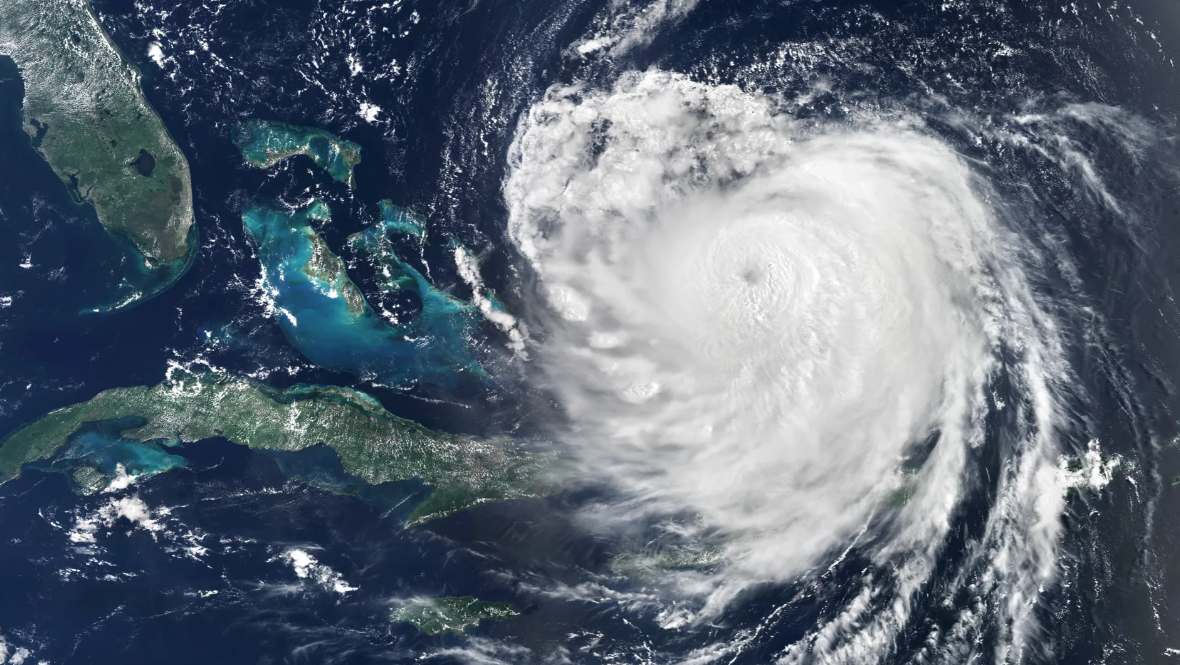
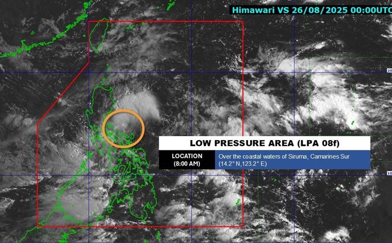
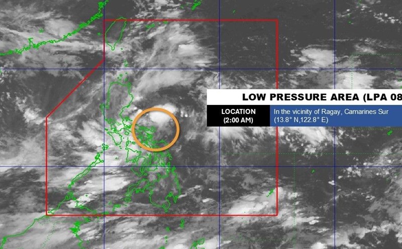
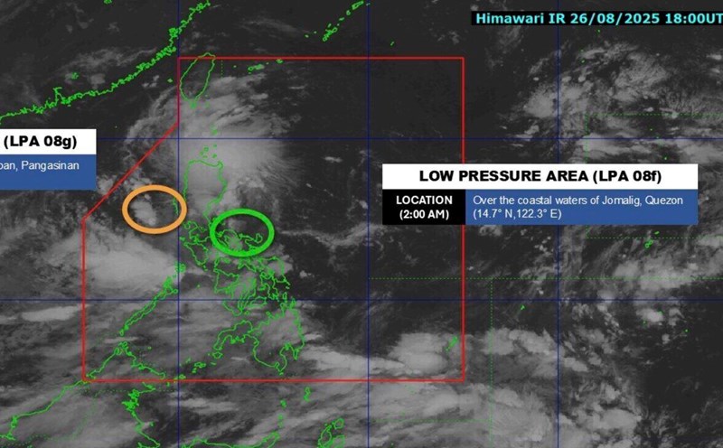
After Typhoon No. 5 Kajiki swept through the East Sea, the temperature in the West Pacific Ocean is still unusually warm. This is a potential " detonator" for new storms, especially in the context of the La Nina phenomenon being forecast to return from the end of September 2025 with a probability of about 60%.
According to weather forecasters, although La Nina has not officially formed, sea surface temperatures in the eastern Pacific are still in a state of negative neutrality.
When the southeast wind blows cool, moist air from this area to the west, meeting the convergence of southwest and northeast winds right in the sea off the Philippines - where sea surface temperatures are high - the possibility of tropical cyclones forming is very high, easily strengthening into storms.
The months of September, October and November are often the period with the most tropical disturbances and lowest pressure in the Western Pacific and the East Sea. If La Nina does indeed appear, the risk of strong and frequent storms in the Philippines as well as the East Sea will be even higher.
The forecast from the US National Oceanic and Atmospheric Administration (NOAA) shows that from now until winter, there is a over 50% chance of La Nina conditions forming, although it is likely to be only weak and short-term. This means the impact is not too extreme, but still enough to increase the frequency of storms and cause unusual weather.

La Nina is the cold phase of the ENSO ( El Nino - Southern Oscillation) cycle, a natural climate phenomenon associated with temperature changes and atmosphere in the tropical Pacific. If El Nino causes the sea surface to heat up by 0.5 degrees Celsius above average, La Nina will cause the temperature to drop by at least 0.5 degrees Celsius compared to the average of many years.
While El Nino typically makes winter warmer and drier, La Nina moves the monsoon and radiation, bringing more rain to the northern Pacific Ocean and creating conditions for increased storm activity in the Atlantic and the East Sea.
According to Professor Emily Becker, University of Miami (USA), if La Nina appears at the end of this year, it is likely to last only for a few months and at a weak level, not qualified to be recorded as an official La Nina phenomenon in history.
However, the actual impact could still be the same as an average La Nina, with more storms and wetter winters than usual, Becker said.
Worryingly, global warming is getting warmer as climate change continues to make ENSO phenomena - both El Nino and La Nina - increasingly unpredictable and could create more extreme weather.


