On August 26, the Philippine Atmospheric, Geophysical and Astronomical Services Administration (PAGASA) and the Joint Typhoon Warning Center (JTWC) issued a warning for the low pressure area 08f/Invest 93W operating east of Catanduanes Island.
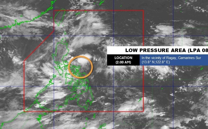
According to the latest storm news from PAGASA, at 8:00 a.m. on August 26, the center of low pressure 08f was at 14.2 degrees North latitude, 123.2 degrees East longitude, in the waters of Siruma and Camairines Sur. The low pressure is likely to strengthen into a tropical depression in the next 24 hours, moving into the East Sea over the weekend.
In the storm forecast bulletin on the morning of August 26, the JTWC said that convective clouds of low pressure Invest 93W (08f according to PAGASA's symbol) are organizing better, with wide circulation, increased winds and a clearer direction of disturbance. The system has only caused light winds but is expected to strengthen when it passes Luzon and Mindoro (Philippines) in the next 1-2 days.
The JTWC said that the risk of tropical depression formation in the next 7 days has been raised to a high level (70%). The agency warned that 93W could develop rapidly from August 28-29, when conditions are favorable in the East Sea. Main direction: West Northwest, with the potential risk of directly affecting Central Vietnam.
In addition to Invest 93W, JTWC also monitored 2 further disturbances in the Northwest Pacific.
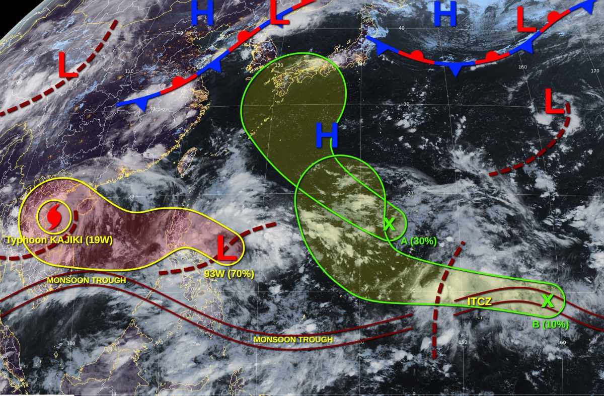
Intermittent A (northwest of Saipan) is expected to strengthen into a low pressure area in the west of the Northern Mariana Islands Community (CNMI) this weekend. Environmental conditions are expected to be slightly favorable for gradual development as the system moves northwest throughout the weekend. The 7-day chance of formation is 30%.
Intermittent B near Pohnpei Island ( Federated States of Micronesia) is located along the tropical convergence zone, just northeast of Pohnpei, expected to develop into a tropical wave and then a low pressure this weekend as it moves west. The development of this system may be slow due to favorable upper-level winds. The system will turn strongly north, reaching the eastern part of Yap over the weekend. 7-day chance of formation is low, 10%
Regarding the forecast of storms/low pressure in the next 2 weeks, PAGASA said that during the week of August 25-31, storm No. 5 Kajiki weakened but 3 low pressure appeared near and around the East Sea as well as the Philippines.
Low pressure 1 is forecast to appear near Visayas - the Southern Luzon area is likely to develop into a low storm and may dissipate after a few days.
Low pressure 2 is likely to appear in the Philippines' PMD forecast area with low development potential.
Low pressure 3 is likely to form in the West Philippine Sea (South China Sea).
During the week of September 1-7, low pressure 3 is forecast to remain in the East Sea, approaching Northern Vietnam. Meanwhile, low pressure 4 appears inside the Philippine Forecast Area (PAR).
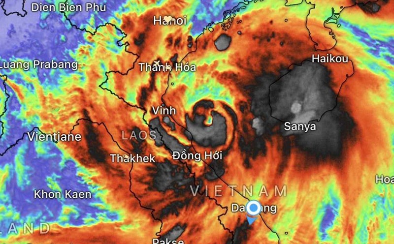
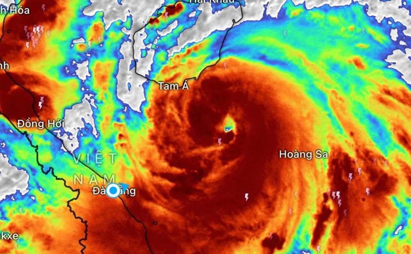
Meanwhile, according to the Vietnam National Center for Hydro-Meteorological Forecasting, on the morning of August 26, the tropical depression (weakened from storm No. 5) moved deep into the Central Laos area. However, the situation of heavy rain in the Northern Delta and midlands, Son La, Lao Cai, Thanh Hoa and Nghe An; strong winds and big waves in the Gulf of Tonkin will continue.