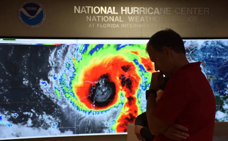
The latest hurricane report from the US National Hurricane Center on August 16 said that Erin has become the first hurricane of the Atlantic hurricane season.
Erin is currently a Category 1 hurricane, with maximum sustained winds of 120 km/h.
A tropical storm warning is being issued for the Northern Leeward Islands, including St. Martin, St. Petersburg. Barts, Anguilla and Barbuda, with strong winds and rain, are likely to hit these areas in the next 48 hours.
Hurricane Erin is expected to approach or move north of the Leeward Islands on August 16 and could bring up to 152mm of rain on August 16.
US hurricane forecasters say Erin will move north of Puerto Rico this weekend and is likely to become a major hurricane by the morning of August 17.
The outer reaches of the typhoon are expected to bring 50-100mm of rain to Puerto Rico and the Virgin Islands on August 16 and 17. The strongest storm since the start of the season could lead to localized flash floods, potential landslides and strong gusts of wind of 64 to 80 km/h.
Erin is forecast to become a Category 3 hurricane on August 17 with winds of up to 200 km/h and could further strengthen into a Category 4 hurricane on August 18, with winds of up to 225 km/h.
Over the next week, Erin will continue moving northwest, closely following the eastern Bahamas.
Most weather forecast models show Erin hundreds of miles from the US East Coast, but large waves and dangerous sea waves are forecast to make landfall on the country's coast from August 20 to 27.
Despite the risk of major waves along the East Coast, a cold front sweeping into the US coast is expected to push Erin out to sea as well as cause temperatures in the northeastern United States to drop below average next week.
The National Hurricane Center said that this year's Atlantic hurricane season will be higher than normal. August, September and October are the months of strongest activity.
Erin formed as a tropical storm on August 11 in the western part of the Cabo Verde island nation, several hundred kilometers off the west coast of Africa. This is the fifth storm of the 2025 Atlantic hurricane season, which began in June and will last until November.
Since the start of the season, only Tropical Storm Chantal has made landfall in the US, causing deadly flooding in North Carolina in early July. In June, Barry made landfall on the east coast of Mexico as a tropical depression.