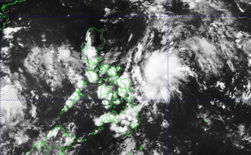
On September 13, the Philippine Atmospheric, Geophysical and Astronomical Services Administration (PAGASA) warned that some areas in Southern Luzon and Northern Samar were affected by the low pressure. At least 8 provinces need to prepare to cope with moderate to heavy rain due to low pressure.
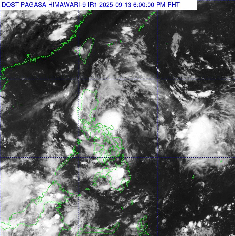
At 3:00 p.m. on September 13, the center of the low pressure was at about 12.5 degrees north latitude, 125.7 degrees east longitude, in the coastal waters of Mapanas, Northern Samar, Philippines. The East wind affects Northern Luzon.
PAGASA's rain forecast said that from noon on September 13 to noon on September 14, moderate to heavy rain (50-100 mm) occurred in Quezon, Marinduque, Camarines Norte, Camarines Sur, Catanduanes, Albay, Sorsogon, Northern Samar.
From noon on September 14 to noon on September 15, moderate to heavy rain (50-100 mm) is forecast in Quezon.
On the day and night of September 13, the low pressure also caused scattered rain and thunderstorms in the rest of Calabarzon, the rest of Bicol, Metro Manila, Occidental Mindoro, Oriental Mindoro, Romblon, the rest of Visayas, Northern Mindanao, Caraga and Zamboanga del Norte.
Floods and landslides are possible.
The rest of Luzon and the rest of Mindanao will continue to have quite good weather on September 13 due to the influence of the low pressure. However, these areas will have scattered showers, due to easterly winds (for the rest of Luzon) or localized thunderstorms (for the rest of Mindanao).
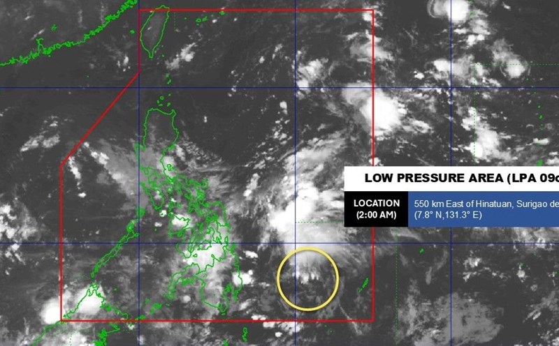
The low pressure is forecast to pass through the Visayas-Southern Luzon area by September 14, meaning that the rain may continue.
The low pressure is still likely to develop into a tropical depression within 24 hours. When it strengthens into a tropical depression or storm, this system will be named Mirasol, which is likely to enter the East Sea.
The Philippines has had 12 tropical cyclones in 2025, with two of them in September - Tropical Depression Kiko and Tropical Depression Lannie. Both Kiko and Lannie have only been in the Philippine Forecast Area (PAR) for a few hours.
Previously, PAGASA estimated that there could be two to four storms forming within or entering the PAR in September.
The weather forecast bulletin of the Vietnam National Center for Hydro-Meteorological Forecasting said that on September 13, the sea area from Khanh Hoa to Ho Chi Minh City and the sea area south of the southern East Sea will have scattered showers and thunderstorms.
It is forecasted that on the night of September 13 and September 14, the sea area from Gia Lai to Ca Mau, Ca Mau to An Giang, the Gulf of Thailand, the central and southern East Sea (including the Truong Sa special zone) will have scattered showers and thunderstorms.
During thunderstorms, there is a possibility of tornadoes, strong gusts of wind of level 6-7 and waves over 2.0m high. All ships operating in the above areas are at risk of being affected by tornadoes and strong gusts of wind.