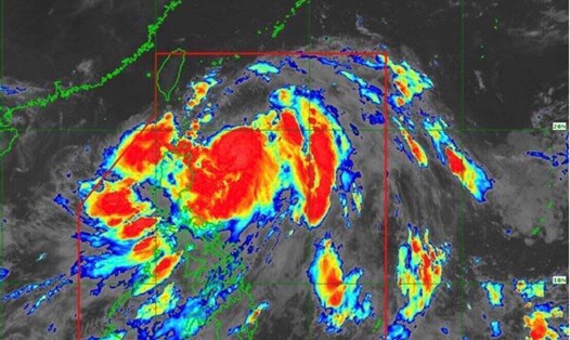
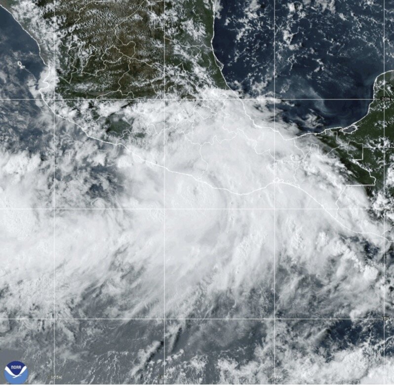
AP's latest storm news said Hurricane John was a Category 3 storm when it made landfall on the night of September 23 near the town of Punta Maldonado, with winds of 190km/h.
According to the US National Hurricane Center, Hurricane John weakened to a tropical depression on September 24 with maximum sustained winds of 55 km/h. The depression is moving slowly along the coastal mountain ranges and continues to weaken.
Earlier, Hurricane John blew off the roofs of many houses, caused landslides and toppled trees in Mexico. Two people died when Hurricane John caused a landslide in the Tlacoachistlahuaca mountains. The third death from Hurricane John occurred in Malinaltepec, Guerrero state, also due to a landslide.
US forecasters say the main concern is flash flooding in the coming days from Hurricane John. Between 250-500mm of rain is expected along the Oaxaca coast and southeast Guerrero by September 26, with locally higher rainfall in some areas.
The sudden surge of rain earlier this week caught scientists, officials and residents in the region by surprise. AccuWeather senior meteorologist Matt Benz said warmer oceans are adding fuel to storms, making sudden, unexpected spikes in rainfall in storms increasingly common.
“These are storms that we have never experienced before. In modern times, storms that intensify rapidly are happening more frequently than in historical data,” he noted.
Mexico was hit by one of the fastest-strengthening hurricanes on record, Otis, in 2023. Superstorm Otis devastated the tourist town of Acapulco. Locals had little warning of the impending storm's danger because it intensified so quickly.
According to the AP, a recent study found that rapid intensifications like Hurricane John are now twice as likely, at least for Atlantic hurricanes, due in part to climate change. Earlier this year, Hurricane Beryl broke records by becoming the earliest hurricane to reach Category 4, then Category 5, in the Atlantic. Superstorm Beryl had winds that increased by 35 mph or more in 24 hours.
Weather experts note that even if it no longer strengthens, Hurricane John is still capable of bringing hurricane-force winds - over 120km/h - along with other extreme weather events that could lead to flooding.
Hurricanes are unleashing more rain as global temperatures rise. Carrie Stevenson, a lecturer at the University of Florida, said the forecast rainfall for Hurricane John could be catastrophic.
“This is going to be some really heavy rain. Flash flooding could be the most dangerous part of this storm,” she said.
Hurricane experts are even concerned that if strong enough, Hurricane John could cross Mexico and resurface in the Gulf of Mexico, near where Hurricane No. 9 Helene formed.
NOAA's hurricane forecast predicts 11 to 17 storms during this year's Pacific winter storm season, with Hurricane John being number 10.