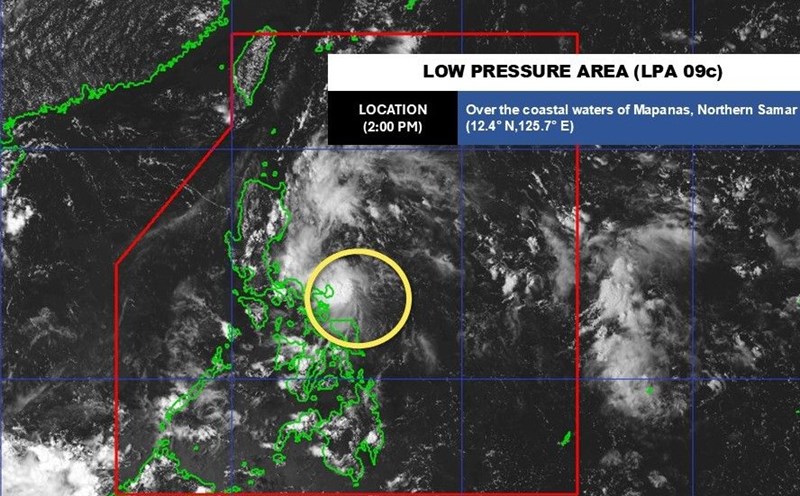
On the afternoon of September 14, the Philippine Atmospheric, Geophysical and Astronomical Services Administration (PAGASA) said that low pressure area 09c near the East Sea being monitored inside the Philippine Forecast Area (PAR) is "difficult to" develop into a tropical depression within the next 24 hours.
At 3:00 p.m. on September 14, the center of the low pressure was at 13.0 degrees North latitude, 120.0 degrees East longitude, 115km north of Coron, Palawan.
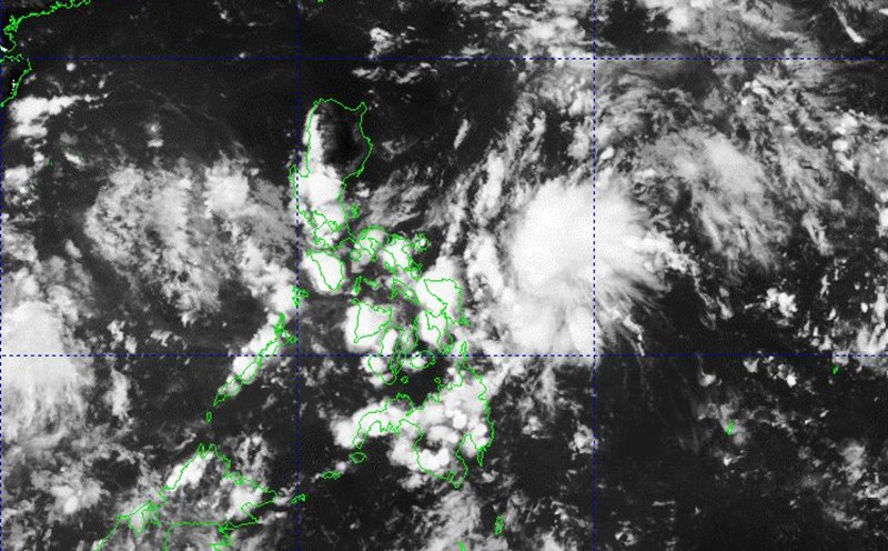
Although it will not strengthen, the low pressure is expected to cause heavy to very heavy rain (rainfall from 100mm to 200mm) in the next 24 hours in Quezon.
The low pressure will also bring moderate to heavy rains (rainfall from 50mm to 100mm) to Rizal, Aurora and Camarines Norte over the next 24 hours.
PAGASA warns that localized flooding may occur mainly in urbanized areas, low-lying areas or near rivers, and landslides in vulnerable areas.
"rainfall is forecast to be higher in mountainous and highland areas. In addition, the impact in some areas may be made worse by previous heavy rains," PAGASA said.
Meanwhile, the forecast of thunderstorms, tornadoes and strong gusts of wind in the East Sea of the Vietnam National Center for Hydro-Meteorological Forecasting said that on the day and night of September 14, there will be scattered showers and thunderstorms in the Gulf of Tonkin, the sea from South Quang Tri - Quang Ngai, from Ho Chi Minh City - Ca Mau, Ca Mau - An Giang, the Gulf of Thailand, the South East Sea (Truong Sa).
During thunderstorms, there is a possibility of tornadoes, gusts of wind of level 6-7, waves over 2m high. Ship in the above areas are at high risk of being affected by tornadoes, strong winds, and large waves.
Regarding the warning of thunderstorms, whirlwinds, lightning, hail and local heavy rain in the inner city of Hanoi issued at 11:14 on September 14, the Center for Hydro-Meteorological Forecasting said that through monitoring on satellite images, thunderstorm location data and weather radar, it was discovered that convective clouds are developing and moving from the East Southeast causing rain in the areas of Long Bien, Gia Lam, Phu Xuyen wards, and are moving and expanding to the inner city of Hanoi.
This cloud area causes rain in the above areas, then will spread to other wards/communes in Hanoi. During thunderstorms, there is a possibility of tornadoes, lightning and strong gusts of wind.
Warning level 1 risk of natural disasters due to tornadoes, lightning, and hail.