The latest storm and low pressure information on December 15 from the Philippine Atmospheric, Geophysical and Astronomical Services Administration (PAGASA) said that there will be 2 low pressure areas from now until December 28.
The first low pressure is forecast to appear during the week of December 15 to 21 in the southeast of the Philippine Forecast Area (PAR). This low pressure is forecast to move towards the eastern areas of Mindanao, Visayas and Bicol of the Philippines.
PAGASA weather forecasters said that this low pressure is unlikely to strengthen into a storm or tropical depression.
The second low pressure is forecast to appear near the Philippines during the week of December 22 to December 28.
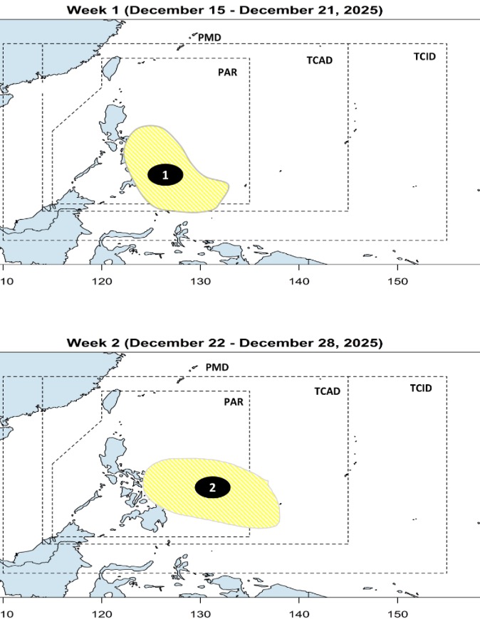
Forecast models show a new low pressure area at the southeastern boundary of PAGASA's TCAD and PAR forecast areas. The second low pressure is also unlikely to strengthen into a storm.
Storms and tropical depressions forming near the Philippines in December often have five main paths.
First, a low pressure or storm forms in the western Pacific Ocean, enters the PAR and loops east of the PAR towards Japan.
Second, the depression or storm enters the PAR but loops northeast of the PAR and heads towards Japan.
Third, the low pressure or storm passes through Northern Luzon or Central Luzon, enters the East Sea and heads towards Hong Kong (China).
4th, the low pressure or storm will make landfall in the area south of Luzon - north of Visayas, enter the East Sea and head towards Vietnam.
On the 5th, the low pressure or storm will make landfall in the Southern Visayas - Northern Mindanao, enter the East Sea and head towards Thailand.


