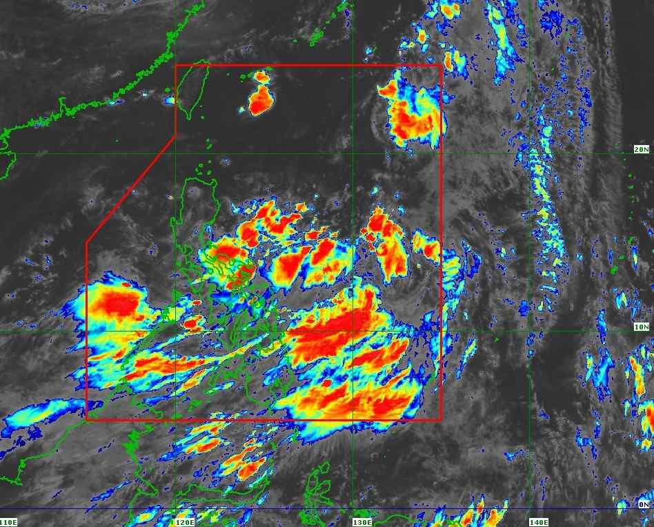
The latest storm information from the Philippine Atmospheric, Geophysical and Astronomical Services Administration (PAGASA) said that at 10:00 a.m. on July 16, the center of tropical depression Crising was at about 14.0 degrees north latitude, 130.9 degrees east longitude, about 725km east of Virac Island (Catanduanes) of the Philippines.
Maximum wind speed 45 km/h, gusting to 55 km/h. Central pressure 1004 hPa. The strong wind radius of level 6 is about 280km from the center of the storm. Crising is moving west at a speed of 35 km/h.
PAGASA's typhoon bulletin said that in the coming days, Crising will continue to move west-northwest to northwest, heading straight to northern Luzon (Philippines) and may enter the East Sea this weekend.
It is forecasted that by the morning of July 17, Crising will strengthen into a tropical storm, and is likely to become a strong storm, even a severe storm, before approaching the North East Sea on July 18.
No storm warnings have been issued yet, but the combined effects of Crising and the southwest monsoon are causing strong gusts of wind in many areas, including Palawan, Camiguin, Surigao del Norte, Dinagat Islands and the central Philippines. Heavy rain is forecast to continue in the coming days in many mainland and coastal areas.
Sea conditions in the next 24 hours could become dangerous, with waves 2-2.5m high in the seas of Palawan, Negros Oriental, Zamboanga del Norte and other coastal areas in the southern Philippines. Fishermen and small boats are advised not to go to sea.
If it maintains its current direction, Crising is likely to enter the East Sea around July 18, when it has strengthened into a storm.
If it is strong at level 8-9, the storm is likely to enter the northern Gulf of Tonkin and directly affect Vietnam.
If it is level 10 or stronger, the storm is likely to reach China, but the remnants of the storm may drift towards the Vietnamese border and cause heavy rain.
The Vietnam National Center for Hydro-Meteorological Forecasting said that on the day and night of July 16, the East Sea (east of the central and southern East Sea, including Truong Sa archipelago), the Gulf of Thailand, the sea area from Ca Mau to An Giang, the sea area from Lam Dong to Ho Chi Minh City will have scattered showers and thunderstorms. During thunderstorms, there is a possibility of tornadoes and strong gusts of wind.
Waves can be over 2m high, posing a danger to ships operating offshore.
In particular, the sea area from Lam Dong to Ho Chi Minh City will have strong southwest winds of level 5, sometimes level 6, gusting to level 7.
People, especially fishermen, need to closely monitor weather forecasts, limit going to sea when the weather is bad and proactively prevent dangerous weather phenomena.