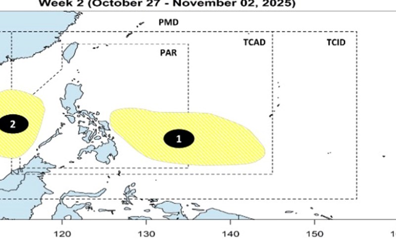
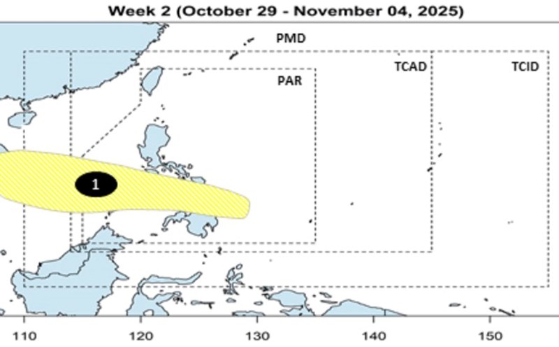
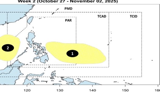
The latest storm and low pressure forecast from the Philippine Atmospheric, Geophysical and Astronomical Services Administration (PAGASA) said that during the week from October 29 to November 4, a new low pressure is forecast to form near Eastern Mindanao, Philippines. This low pressure near the East Sea is unlikely to strengthen into a storm or tropical depression during the forecast period.
However, this low pressure is forecast to pass through the Northern Mindanao - Visayas region and enter the East Sea, with a very wide area of influence in the East Sea and towards Vietnam.
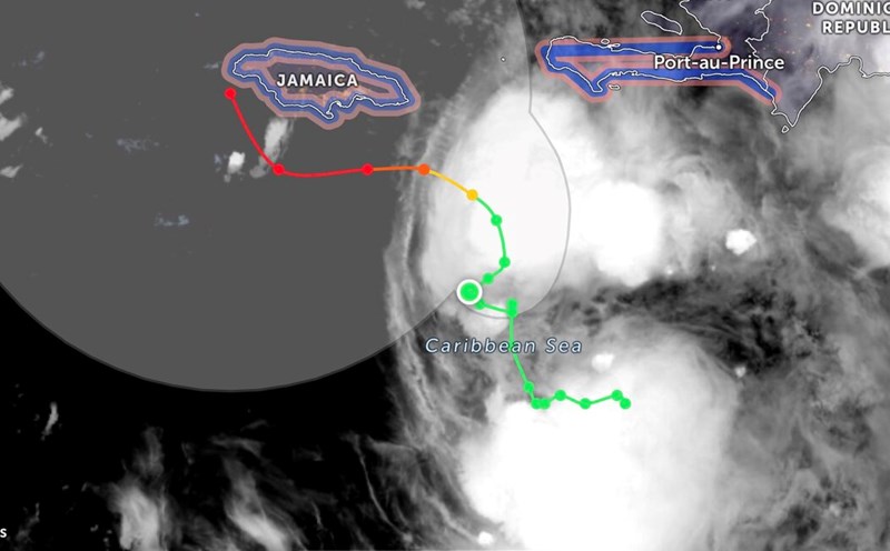
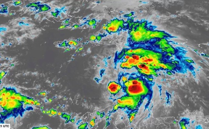
Currently, PAGASA forecasters said that many weather systems will continue to cause rain and fog covering many areas of the Philippines on October 24, even as the 10g low pressure area formed from storm Salome goes deeper into the East Sea, moving away from the Philippines. At 8:00 a.m. on October 24, low pressure of 10g had completely dissipated in the East Sea.
The Philippine State Weather Forecast Agency added that the Intertropical Convergence Zone (ITCZ) is affecting the weather in Mindanao and Palawan.
The Batanes and Babuyan Islands are forecast to be cloudy with scattered showers and thunderstorms due to wind shear.
PAGASA warned of the possibility of flash floods or landslides due to moderate to heavy rains in the Zamboanga peninsula, Barmm, Negros island region, Sarangani, Sultan Kudarat and Palawan.
Similar weather conditions will also occur in Aurora, Quezon and Camarines Norte due to the influence of easterly winds.
Other parts of Mindanao are forecast to experience cloudy to cloudy skies with occasional showers or thunderstorms due to the influence of the intertropical convergence zone.
Metro Manila and other parts of the Philippines are expected to see partly cloudy to cloudy skies with occasional showers or thunderstorms.