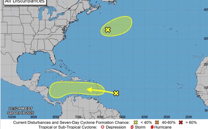
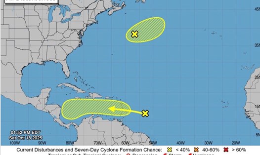
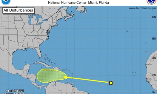
The latest storm and low pressure information from the US National Hurricane Center (NHC) said that a low pressure is forecast to strengthen into a tropical depression in the Caribbean this week.
The US National Hurricane Center said there is a high (70%) chance of a tropical depression forming in the Caribbean Sea later this week.
Currently, the depression is moving across the Windward Islands and towards the Caribbean. Although the low pressure is not currently having a closed circulation, it has begun to show signs of strengthening.
Forecasters from the US National Hurricane Center said the depression is expected to move rapidly westward, at a speed of 32-40 km/h on the morning of October 20. This speed of movement prevented the depression from strengthening rapidly. However, the system could bring heavy rains and strong winds to some areas of the Windward and Leeward Islands.
It is forecast that when it enters the Caribbean, this low pressure will slow down, encounter more favorable weather conditions to strengthen into a tropical depression. A tropical depression could therefore form in the middle or late of this week.
The tropical depression is forecast to strengthen into a storm, moving rapidly north or northeast, towards the Dominican Republic, Puerto Rico and/or neighboring islands. Another series of forecasts say the system will be weak and moving around the Caribbean for several days, possibly until next week or so.
Computer forecast models show many scenarios for the path of this tropical system. According to preliminary calculations, the likelihood of a strong storm forming and immediately turning north is about 20%. There is a 40-50% chance of a weak storm forming and surviving in the Caribbean until at least next week. There is also a high possibility that the tropical depression will not strengthen into a storm.
The Atlantic hurricane path is likely to be further complicated as another depression is forecast to form in the southern Gulf of Mexico. Computer forecasts suggest that the second low pressure could form as a result of a combination of a large independent cloud cluster and a typical low pressure in Central America called Central American Gyre.
Currently, forecasters in the US have not yet had a clear understanding of how these two depressions will affect each other when they strengthen together.
According to the latest hurricane forecast from Fox Weather forecasters, there is no sign of a hurricane threatening the US continental schedule for about 10 days.
A strong Current is forecast to move across the US East Coast on October 22 and 23. If it strengthens, this stream is likely to carry the storm and pull the storm north. If it slows down, the storm will not be affected by this stream and will continue to be affected in the Caribbean for at least a few days.
The 2025 Atlantic hurricane season ends on October 30. The next storm name for this year's hurricane season is Hurricane Melissa.