PAGASA's latest storm bulletin released at 11 a.m. on October 21 said Kristine maintained its intensity as it moved southwest over the Philippine Sea.
The bulletin stated that on the morning of October 21, Kristine was approximately 870 km east of Eastern Visayas, Philippines. Kristine is moving southwest at 30 km/h. The system has maximum sustained winds of 55 km/h near the center and gusts of up to 70 km/h.
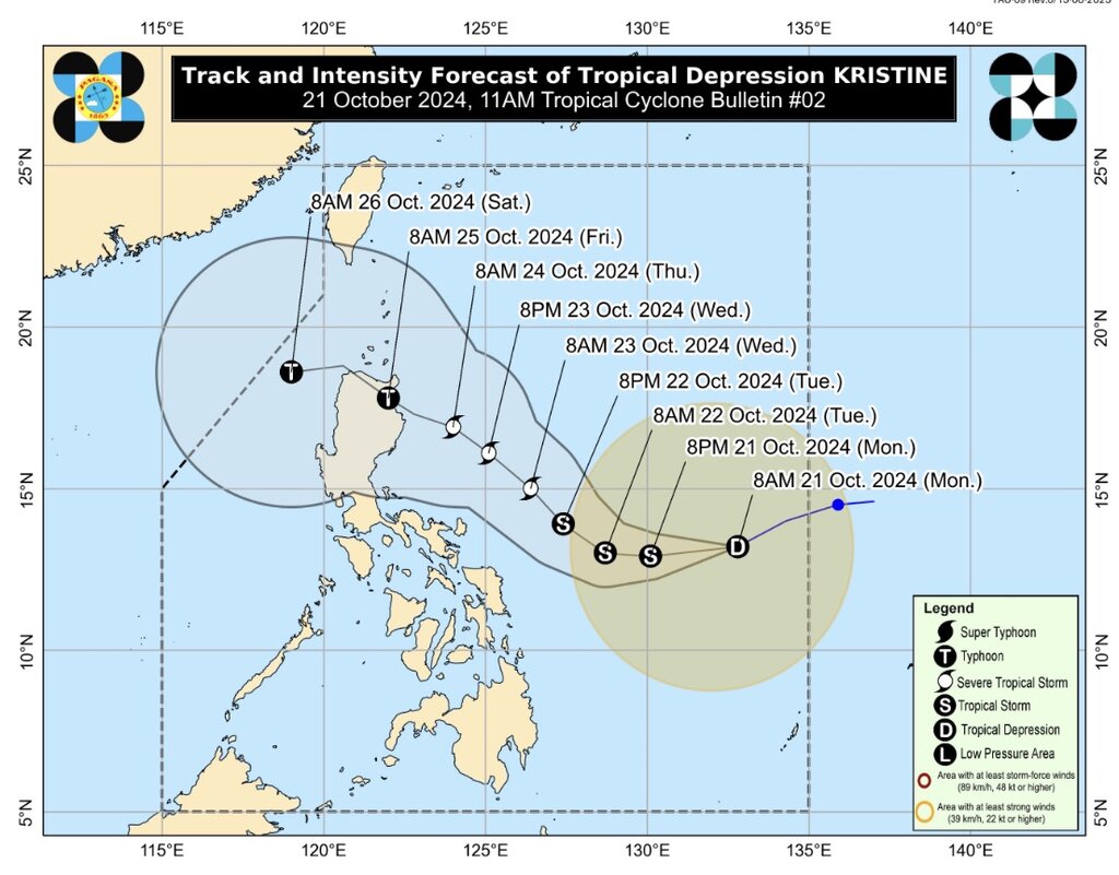
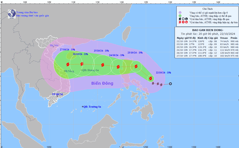
The track and intensity forecast for Typhoon Kristine issued by PAGASA shows that the system is expected to move westward until the morning of October 22 before turning northwest to west-northwest from the afternoon of October 22 until the end of the forecast period. The latest storm near the East Sea is expected to make landfall in Northern Luzon on October 25.
According to PAGASA's storm forecast, Kristine is expected to strengthen into a tropical storm in the next 12 hours and could become a severe storm on October 23, then reach typhoon status on the evening of October 24 or the morning of October 25 before making landfall in northeastern Cagayan.
PAGASA's storm bulletin updated at 11:00 a.m. on October 21 stated that tropical storm Kristine is still in the Philippine Sea, so there is a possibility that the storm will become stronger due to favorable weather conditions: high sea temperature and low wind shear.
PAGASA also did not rule out the possibility of changes in the path of Typhoon Kristine, depending on the movement of weather systems in the coming days.
PAGASA forecasters predicted that at around 8 p.m. on October 21, Kristine would be approximately 595 kilometers east of Catarman, Northern Samar, Philippines.
At 8:00 a.m. on October 22, Kristine was expected to be about 490 km east of Virac, Catanduanes. At 8:00 p.m. on the same day, Kristine was expected to be about 480 km east of Daet, Camarines Norte.
On October 23, at 8:00 a.m., Typhoon Kristine was about 520 km east of Baler, Aurora. By 8:00 p.m. the same day, Typhoon Kristine near the East Sea moved closer to Baler, Aurora, about 375 km away.
At 8:00 a.m. on October 24, Hurricane Kristine was expected to be approximately 245 km east of Echague, Isabela.
On October 25, Typhoon Kristine was forecast to be in the vicinity of Penablanca, Cagayan. By October 26, at 8:00 a.m., the storm had turned toward the South China Sea, approximately 170 km west-northwest of Laoag City, Ilocos Norte.
According to the latest storm and low pressure forecast of the US Navy's Joint Typhoon Warning Center (JTWC) on October 21, Kristine (or 22W) is 1,239 km east of Manila, Philippines and has been moving west at 30 km/h for the previous 6 hours.
The system is expected to continue moving westward over the next 12 to 18 hours, beginning to move west-northwestward after 24 hours and then turning westward after the third day.
The JTWC forecast states that Kristine is expected to reach typhoon strength before reaching Luzon. JTWC forecasters expect Kristine to make landfall on the east coast of Luzon, Philippines in about 84 hours, then move to the west coast of Luzon and enter the northern South China Sea at the end of the forecast period.