The Philippine Atmospheric, Geophysical and Astronomical Services Administration (PAGASA) said that the super typhoon Pepito (super typhoon Man-yi) that devastated the Philippines this month has ended, but it is expected that there will be 1 or 2 more storms in December.
Mr. Nathaniel Servando, Director of PAGASA, noted that the northeast monsoon will determine the intensity of December storms, whether they are as intense as Typhoon Kristine (Trami) and Super Typhoon Man-yi.
"If a tropical storm makes landfall in the first week of December, it is likely to be stronger," said Mr. Servando.
PAGASA Director pointed out that any storm that makes landfall in late December is unlikely to develop into a super typhoon. This is due to the influence of the northeast monsoon.
PAGASA weather forecaster Benison Estareja compared the five types of tropical cyclones to vehicles, in which super typhoons can be compared to a moving plane.
A tropical depression can be compared to a moving bicycle; a tropical storm to a moving motorbike; a severe tropical storm and a typhoon can be compared to a moving train, Estareja said.
We classify super typhoons if the wind speed reaches 221 km/h, but have downgraded them to 185 km/h because such wind speed is already very strong, he said.
Mr. Estareja added that the tropical depression has winds of 61 km/h or less; tropical storms from 62-88 km/h; severe tropical storms from 89-117 km/h; typhoons from 118-184 km/h and super typhoons from 185 km/h or more.
Typhoons are typically most active from June to September.
During these months, the southwest monsoon will also intensify, as when super typhoon Carina hit the country. It has a big impact because of the southwest monsoon, said Estareja, adding that typhoons rarely occur from January to May.
Based on our experience, even if a typhoon enters the Philippine Forecast Area (PAR) from January to May, it eventually weakens into a depression. The storms will make landfall in the months of October to December, said Mr. Estareja.
A typhoon forms in warm tropical waters, including the Philippines. The dangers of the storm include strong winds, heavy rains and high waves, he said.
An average of 20 typhoons enter the PAR each year, nearly half of which make landfall.
PAR covers not only the Philippine mainland but also the surrounding seas, including the Pacific Ocean. On the right is the Philippine Sea; the north is the Balintang Channel; the west is the East Sea and the south are the Sulu Sea and the Celebes Sea.
PAR also covers parts of Taiwan (China) because when there are typhoons, Batanes province in the Philippines is the most affected.
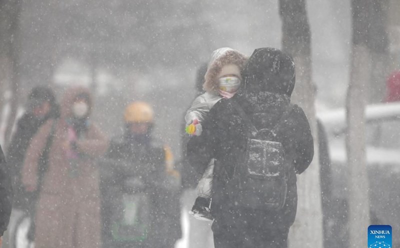
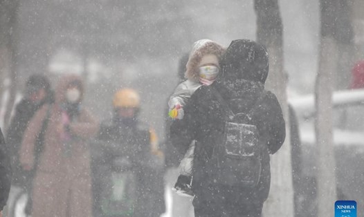
The Philippines has suffered dozens of human casualties and billions of pesos in property damage as 6 typhoons have hit several provinces over the past 2 months, of which the recent super typhoon Pepito ( Man-yi) hit Luzon the most severely.
Many of the storms after passing through the Philippines have entered the East Sea, such as Typhoon enteng (Yagi - Typhoon No. 3), Typhoon Kristine (Tramami - Typhoon No. 6), Super Typhoon Pepito (super Typhoon Man-yi - Typhoon No. 9).