According to the 2025-2026 winter report by the US-based weather forecasting team of AEM Group, specializing in providing global meteorological and environmental equipment, data and analysis, and WeatherBug published on November 5, La Nina continues to be the main driving force of global weather.
After ending a strong El Nino period in the middle of the year, the equatorial Pacific has turned to a state of lower-than-normal sea surface temperatures - a typical sign of a weak to moderate La Nina.
Climate models show that La Nina is likely to peak in late fall and early winter 2025, before weakening gradually in the first quarter of 2026. This phenomenon often leads to stronger and longer cold air in the Northern Hemisphere, especially in North America, East Asia and Southeast Asia.
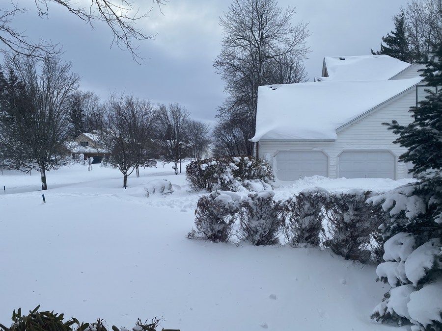
In the US, AEM forecasts that this winter will see many cold air waves from Canada, causing severe cold spells in the Midwest and Great Lakes.

The risk of snowstorms and tornadoes in the winter is expected to increase by 20-30% compared to average, especially in the Mississippi and Ohio valleys.
Some other factors also contribute to shaping this winter. This year's snowfall in Siberia (Russia) is heavier than average, meaning the cold air mass in the Asian continent will accumulate strongly and may spread rapidly when the northeast monsoon begins to operate.
Long-term forecast models show that North Asia, northeastern China, the Korean Peninsula and northern Vietnam are likely to be significantly affected by La Nina, with an average temperature of 0.5 - 1.5 degrees Celsius lower than many years.
The Vietnam National Center for Hydro-Meteorological Forecasting also stated that in the context of La Nina returning, the cold air this winter will arrive earlier and will be stronger. Severe cold spells and severe cold spells may appear more severe in the middle and end of the season, from December 2025 to February 2026.
It is forecasted that there will be 3 cold air waves in November, the strongest in the middle of the month. From November 10-20 onwards, a new cold air mass is forecast to hit the North and North Central regions, possibly moving down as far as Hue - Da Nang.
The lowest temperature forecast in the early morning in the Northern midlands and the Western mountainous areas of the North Central region may drop to 10-12 degrees Celsius. The plains (such as Hanoi) will be cold at 16-18 degrees Celsius. The cold spell may fall on November 16-18.
This cold air mass is forecast to weaken potential Typhoon No. 14 Fung-wong when it first passes Luzon (Philippines) and enters the northern East Sea from November 10.
In December, the cold air will be more active and continuous, with three distinct cold spells, especially from the end of December to the beginning of January 2026, which is predicted to be the first widespread cold spell of the season.
In addition, La Nina is also forecast to increase the number of storms and tropical depressions in the East Sea, in which the Philippines may experience 3-5 more storms from now until the end of the year, some of which are likely to affect Vietnam.


