
On the right bank of the Binh Thuy River, on the right bank facing from Rach Chanh to Rach Cam bridge, Long Tuyen ward, the area is about 650m long, along Bui Huu Nghia street. This is the indented bank section of the curved river section, where the flow presses close to the bank, causing strong erosion.
In recent years, the Binh Thuy river, the section from Rach Cam bridge to Rach Chanh, has recorded many serious landslides, affecting houses and architectural structures of people. Landslides are also at high risk of threatening the Bui Huu Nghia road traffic route.
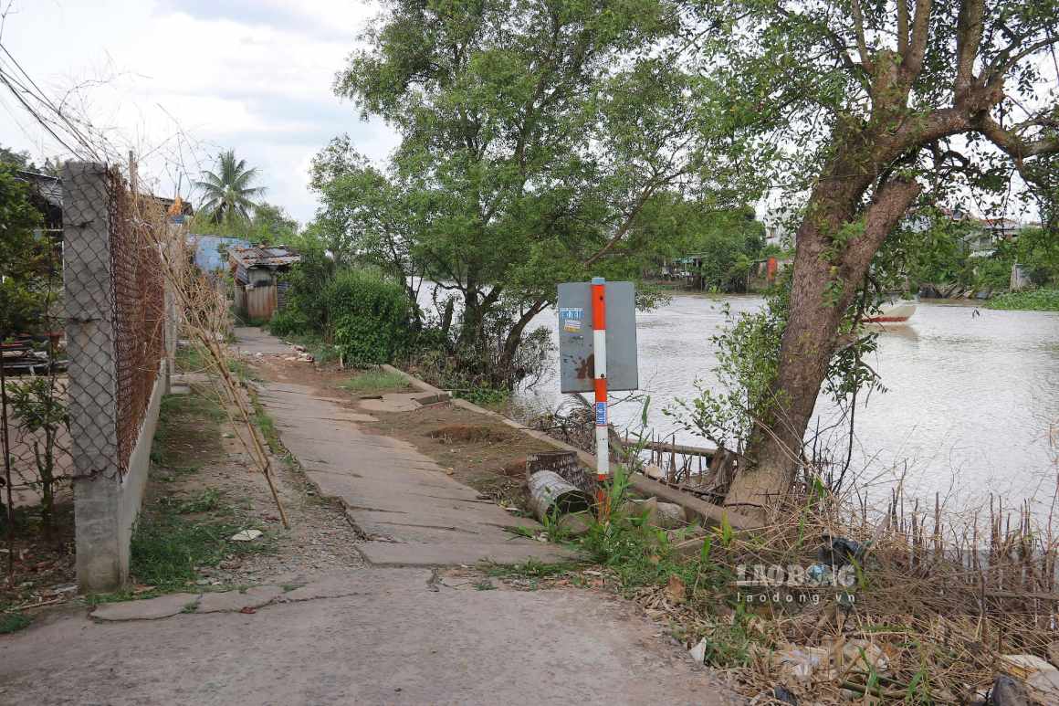
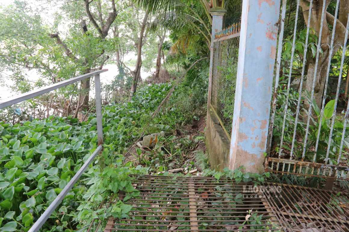
Along the entire route, many locations continue to show signs of high risk of landslides, riverbanks are eroded, especially dangerous for residential areas concentrated along the river and along traffic routes.
On the right bank of the O Mon River, the section from the beginning of the O Mon River to Tam Vu canal, O Mon ward, the length of the landslide-prone area is about 1,220m, along the rural traffic route. Landslides have damaged houses, in some locations close to the road, affecting people's lives and travel.
This area is also at risk of affecting many public works such as Tam Vu ferry wharf, An Thai pagoda and a school. Many locations along the entire route have frog holes, with the risk of further landslides, directly threatening people's lives, health and housing.
For the Tra Noc River, Thoi An Dong ward, an emergency situation was declared on the right bank from the end of the Tra Noc embankment to Cau Cong canal and the left bank from Tra Noc bridge to Xeo May canal.
The right bank of the Tra Noc River is about 1,085m long, along Le Thi Hong Gam street, area 4, with about 130 affected households. Among them, a serious landslide point is recorded with a length of 32.5m, directly affecting 7 households. The left bank is about 700m long, area 2, with about 100 households living, recording 3 serious landslide points with a total length of about 200m, directly affecting 36 households.
The initial cause was determined to be due to the Binh Thuy, O Mon and Tra Noc rivers directly connecting to the Hau River, which play an important role in the city's waterway transport network. The volume of ships and boats is large, especially ships with large tonnage and high speed, creating waves that regularly impact the shoreline. Along with the fairly high flow velocity and deep riverbed terrain, the shoreline is structurally broken, eroded, forming cavities and leading to landslides.
Currently, landslide areas continue to develop complicatedly, with many cracks, subsidence and deformation of embankments. Riverside soil is in an unstable state, with the risk of dangerous landslides continuing in the near future.
Prioritizing the implementation of emergency projects to handle landslides in the above areas is identified as necessary and urgent to protect people's lives and property, overcome riverside traffic routes, ensure travel needs and stabilize people's lives in the area.


