The Steering Committee for Disaster Prevention and Control of Ha Tinh province requested the Provincial Border Guard Command, Ha Tinh Maritime Port Authority, the Subcommittee for Fisheries Safety at Sea, and the Steering Committees for Disaster Prevention and Control of coastal districts to closely monitor forecasts of tropical depressions.
Notify owners of vehicles and captains of ships and boats operating at sea of the location, direction of movement and developments of the tropical depression so that they can proactively avoid, escape or not move into dangerous areas and have appropriate production plans to ensure safety of people and property.
Maintain communication with vehicle owners to promptly handle possible bad situations; prepare forces and vehicles for rescue when requested.
Localities direct grassroots information systems to strengthen information activities on natural disaster situations in the area, propagate and disseminate instructions on storm and flood response skills so that people know, proactively prevent, avoid and minimize damage.
Deploy shock forces to inspect and review residential areas along rivers, streams, low-lying areas, and areas at high risk of flooding, flash floods, and landslides; proactively evacuate people in dangerous areas to safe places.

Organize forces to guard, control, and guide traffic safety for people and vehicles, especially at culverts, spillways, deep flooded areas, areas with strong currents, areas where landslides have occurred or are at risk of landslides; arrange forces, materials, and means to overcome incidents, and ensure smooth traffic on main traffic routes.
According to the Ha Tinh Province Hydrometeorological Station, from the night of October 22 to the morning of October 23, due to the influence of strengthening cold air, the Ha Tinh area will have moderate to heavy rain, and the south will have very heavy rain and thunderstorms.
Rainfall is generally 30 - 60mm/24h, in the southern plains and coastal areas 50-100mm/24h, in some places over 100mm/24h.
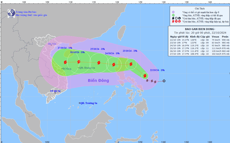
Currently, a tropical depression is active in the eastern Philippines, forecast to strengthen into a storm in the next 24 hours, and possibly move into the East Sea around October 25.
From the afternoon and night of October 24, the eastern sea of the North East Sea will have winds gradually increasing to level 8, near the storm center level 9-10, gusting to level 12.