Monitoring satellite images and weather radar shows that convective cloud areas are continuing to develop in the communes of Xuan Mai, Tran Phu, Phuc Son, Kieu Phu, Dai Xuyen, Phu Xuyen, Hong Van; Tay Mo, Duong Noi, Kien Hung wards (Ha Dong district) ...
Along with that, convective clouds from Phu Tho, Ninh Binh, Hung Yen provinces are also tending to move towards Hanoi city. radar response ranges from 30 - 40 dBZ.
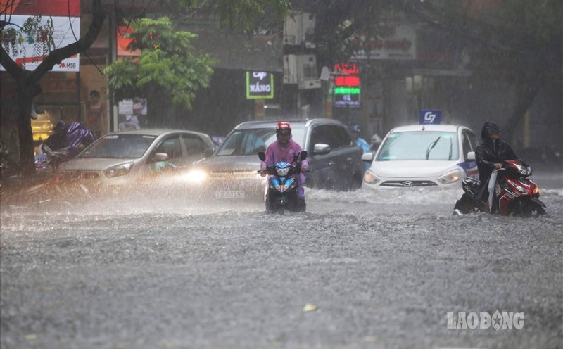
It is forecasted that in the next 30 minutes to a few hours, these convective cloud areas will continue to develop, move and cause showers and thunderstorms in the above areas.
At the same time, extreme weather phenomena may spread to Phuong Duc, Chuyen My, Ung Hoa, Thuong Phuc, Thuong Tin, Huong Son, My Duc communes; along with communes/wards: Gia Lam, Thuan An, Ngoc Hoi, Dai Thanh, Ngoc Ha, Nghia Do, Cau Giay, Lang, Giang Vo, Long Bien and many other neighboring areas.
The risks associated with thunderstorms include: tornadoes, lightning, hail and strong gusts of wind, which can break trees, damage houses, traffic works, infrastructure and threaten people's lives.
Warning level of natural disaster risk due to tornadoes, lightning, hail: Level 1.
Authorities, relevant units and people need to regularly monitor weather forecasts, proactively prevent and ensure the safety of life and property.