On the morning of November 22, Khanh Hoa Provincial Police announced that they had officially deployed the "SOS - Emergency Location Sharing" feature on the Zalo application to support rescue work for people in areas at risk of floods.
Accordingly, people in disaster-affected areas will see banner SOS notification on Zalo. In an emergency situation, they just need to click the banner to send information including the correct GPS location, contact phone number and description of the danger situation.

This data will be automatically compiled by the system and displayed on an online map, with the location needed for support. Rescue forces can monitor in detail, proactively contact and coordinate vehicles to approach the scene as quickly as possible, minimizing risks during the rescue process.
Khanh Hoa Provincial Police assess this as a practical and urgent technological solution, especially in the context of complicated floods. SOS features help shorten the time to locate victims, improve efficiency and accuracy in rescue work.
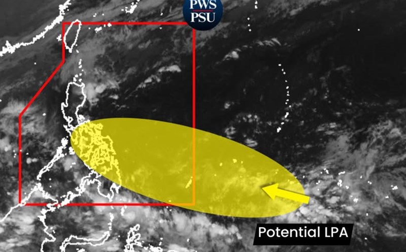
According to the forecast of the Khanh Hoa Provincial Hydrometeorological Station, during the day and night of November 22, Khanh Hoa province will have cloudy weather, with rain, moderate rain, and heavy rain in some places.
In the north and west, the common rainfall is from 30-50mm, some places are higher than 70mm; in the south, the common rainfall is below 20-40mm, some places are higher than 50mm.
In the next 24 hours, floods on Dinh Ninh Hoa River will continue to decrease slowly, remaining above and below alert level 2; floods on Cai Nha Trang River are likely to rise again and fluctuate at alert level 1-2 (according to the discharge announcement of Song Co 1 Lake) and Nam Khanh Hoa Rivers (Lu River and Cai Phan Rang River) will fluctuate above and below alert level 1.