According to the Central Center for Hydro-Meteorological Forecasting, in the past 3 hours (from 2:00 a.m. on November 3 to 5:00 a.m. on November 3), Da Nang City has had moderate rain, heavy rain, and some places with very heavy rain such as: Thang Binh 145.6mm, Hoi An: 90.2mm, Nong Son 78.6mm...
Currently, the water level on the Vu Gia-Thu Bon River is rising rapidly and fluctuating between below alert level 3 and above alert level 3.
In the next 24 hours, deep flooding will occur over a wide area in low-lying areas along rivers and fields, locally flooding villages and residential areas in urban areas.
The common flooding depth is from 0.25 - 1.25m and some places have higher flooding in the communes/wards: Hoi An, Hoi An Tay, Hoi An Dong, Duy Nghia, Thang An, An Thang, Ban Thach, Huong Tra, Quang Phu, Tay Ho, Thang Dien, Thang Truong, Que Xuan, Cam Le, Hoa Xuan, Ngu Hanh Son, Ba Na, Hai Van, Tam Ky, Ban Thach, Huong Tra, Chien Dan, An Khe, Thanh Khe, Lien Chieu, Hoa Khanh, Hoa Cuong, Hai Chau, Son Tra.
The common flooding depth is from 0.5- 1.5m and some places are flooded higher than 2.5m in the communes/wards: Hoa Tien, Dien Ban, Dien Ban Bac, Dien Ban Tay, Go Noi, Nam Phuoc, Dai Loc, Tam Xuan, Huong Tra.
The common flooding depth is from 1.0 - 2.5m and the largest flooding is over 3.0m in the communes/wards: Nam Dien Ban Bac, Nam Dai Loc, Thuong Duc, west Dien Ban Tay, Vu Gia, Phu Thuan, Thu Bon, Nong Son, Que Phuoc.
Flood risk warning level: Level 1-2.
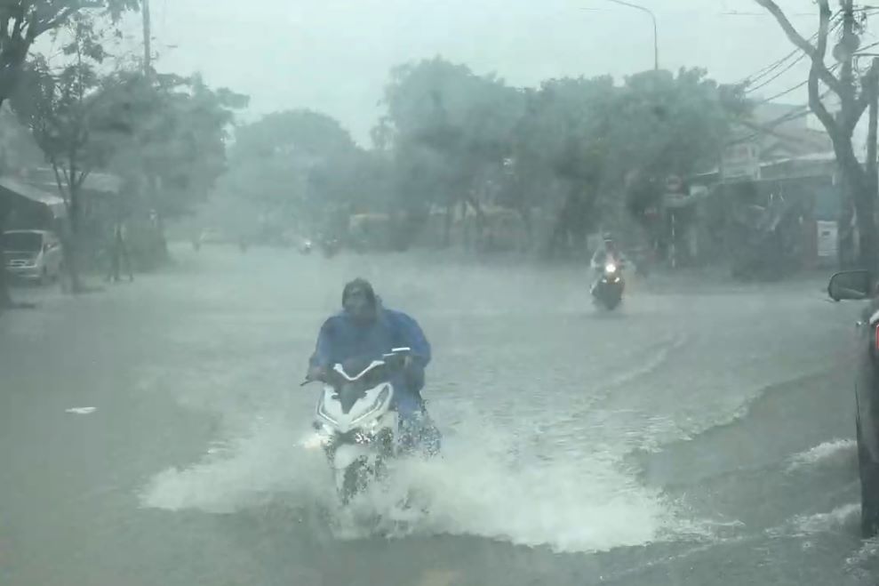
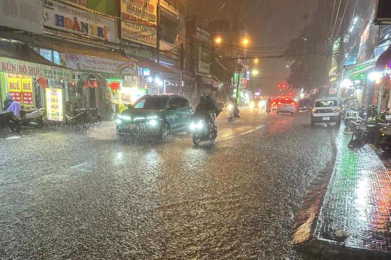
The flooding caused local traffic congestion, affecting the movement of vehicles, damaging people's houses, works, and property, and negatively affecting socio-economic activities.