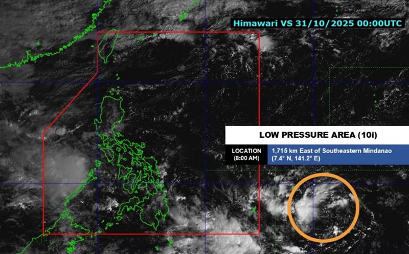
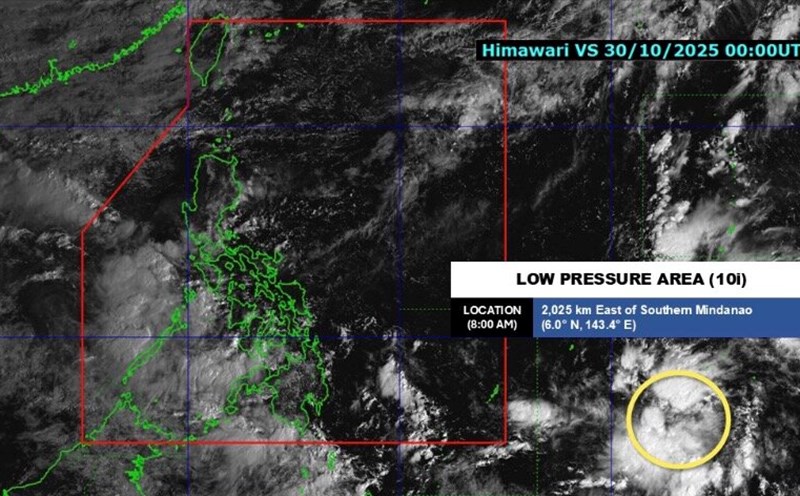
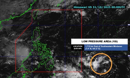
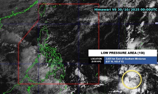
The latest storm and low pressure information from the Philippine Atmospheric, Geophysical and Astronomical Services Administration (PAGASA) said that the low pressure outside the Philippine Forecast Area (PAR) developed into a tropical depression in the early morning of November 1.
At 4:00 a.m. on November 1, the tropical depression was 1,430 km east of northeast Mindanao, with maximum sustained winds of 45 km/h and gusts of up to 55 km/h.
The tropical depression near the Philippines is moving west at a speed of 15 km/h.
According to Philippine weather forecasters, this tropical depression is forecast to move mainly in the west-northwest direction until it enters the Philippine forecast area in the morning or afternoon of November 2. When it enters the Philippine forecast area, the system will be locally named Tino.

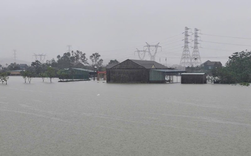
Inside the Philippines' forecast area, Tino will turn west as it moves over the Philippine Sea. The center of Tino is forecast to make landfall in Caraga or eastern Visayas on the morning of November 4. The storm is expected to pass through Visayas and Palawan between November 4 and November 5. The system will then enter the South China Sea in the morning or afternoon of November 5.
Philippine typhoon forecasters expect Tino to continue to strengthen before making landfall in the Philippines and may reach typhoon level on November 4. It is not ruled out that the latest typhoon in the Philippines will intensify before making landfall.
Meanwhile, the low pressure in the East Sea of 10j is inside the Philippine forecast area (260km west of Coron, Palawan) and is not expected to strengthen within the next 24 hours.
Low pressure 10j was detected from 2:00 p.m. on October 31 and at that time, weather experts also said that it was unlikely to strengthen into a storm or tropical depression.
PAGASA stated in the next 24-hour weather forecast issued on the morning of November 1 that this low pressure in the East Sea will cause cloudy skies, scattered rain and thunderstorms across Palawan.
On November 1, the weather is forecast to be cloudy with scattered showers and thunderstorms in Cagayan due to wind shear, while Batanes will be cloudy to cloudy with scattered light rain due to the influence of the northeast monsoon.
Visayas, Mindanao, Bicol region and other parts of Mimaropa will experience scattered cloudy to cloudy skies with scattered showers or thunderstorms due to the influence of the Intertropical Convergence Zone (ITCZ).