In recent days, the water level of the Red River (Thao River) passing through Phu Tho province has risen. On the afternoon of June 22, Phong Chau pontoon bridge connecting Lam Thao district with Tam Nong district had to temporarily suspend operations after more than 2 days of reinstallment, the reason being that the river flow rate exceeded 2m/s.
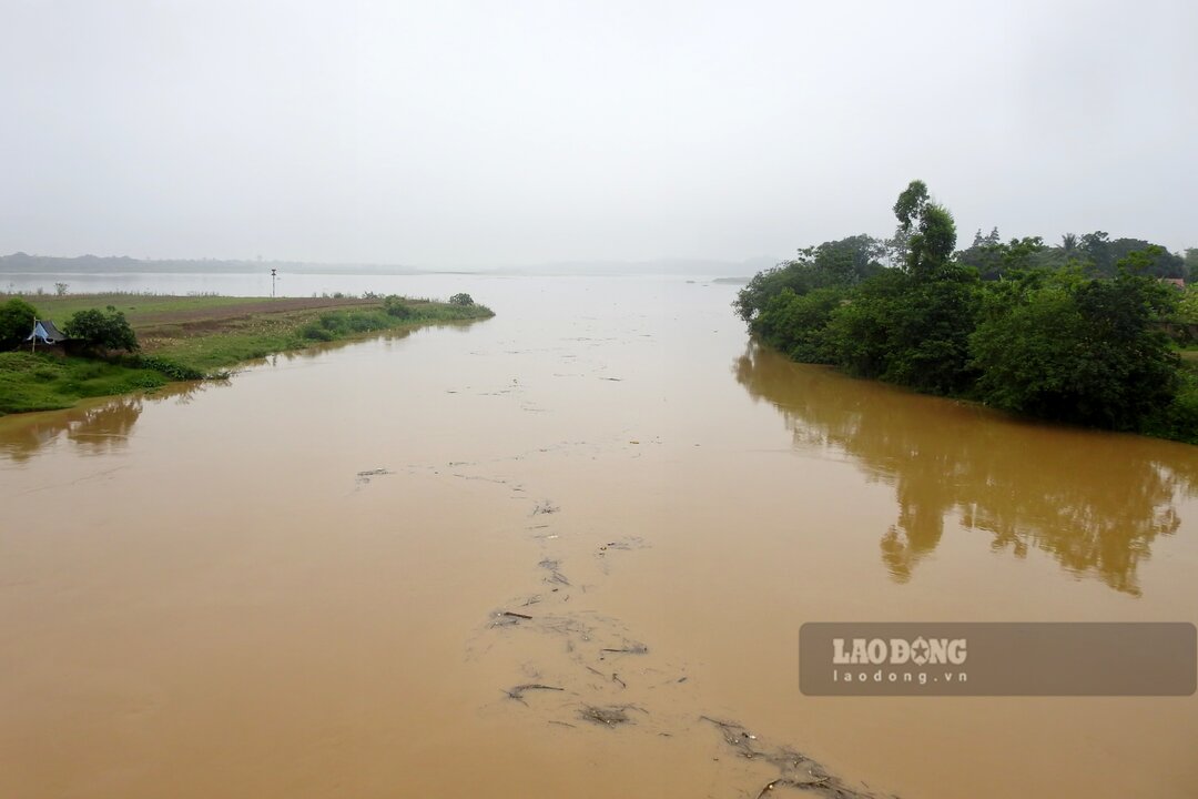
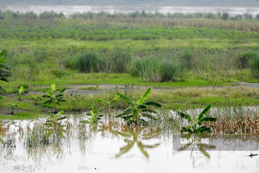
According to Lao Dong Newspaper reporters on the morning of June 24, on the Red River through Cam Khe, Thanh Ba, Tam Nong districts, Lam Thao, Phu Tho town... the river water rose, the water brought trees, mud, and overflowed the alluvial plains and sand dunes on the river.
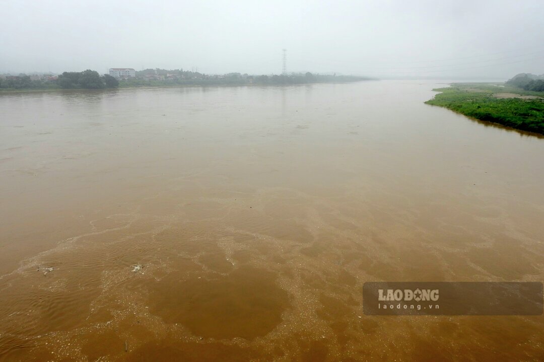
In the Phong Chau pontoon bridge area, the water level of the Red River is at a high level, this section of the river is narrow, so the flow is quite strong. If the river water continues to rise and flow rapidly above 2m/s, Phong Chau pontoon bridge will not be able to be reinstalled and put into operation.
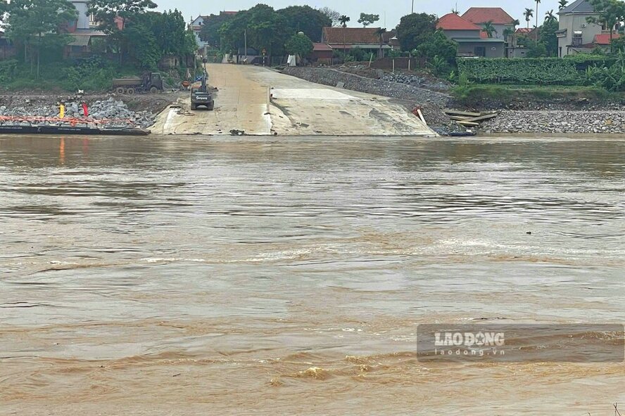
Mr. Bui Van Tuyen still travels between his two stores in Viet Tri city and Tam Nong district every day. On days without a pontoon bridge or ferry, Mr. Tuyen has to go around upstream, through Ngoc Thap bridge (in Phu Tho town) to cross the river.
"It's the rainy season, when the river flows too strongly, soldiers have to cut the pontoon bridge to ensure safety. We are getting used to it, just hoping to quickly complete the new Phong Chau bridge in October and put it into use, everything will return to the way it was before" - Mr. Tuyen shared.
According to the National Center for Hydro-Meteorological Forecasting's Forecast and Hydrological Warning on June 21, within 5 days from June 21 to June 25, there is a possibility of a flood on the Red River with a flood amplitude of 2 - 2.5 m.

According to the forecast, the actual water level measured on the Red River at Phu Tho station during the above period was at least 12.00 m, the highest was 14.00 m.
However, the figure of 14.00 m was "overtaken" right now, because according to the Forecast bulletin and short-term hydrological warning on June 23, at 7:00 a.m. the same day, the actual water level measured at Phu Tho station had increased to 14.09 m.
The bulletin also forecasts that by 1:00 p.m. on June 23, the water level will rise to 14.30 m and then gradually decrease but slowly and still above 14.00 m.