
Prolonged heavy rain caused floods on rivers and streams to rise rapidly, causing serious landslides on National Highway 12, completely breaking the road surface at one location, affecting traffic connecting Lai Chau and Dien Bien.
According to functional agencies, in the past 6 hours, many areas in Lai Chau province recorded heavy rainfall, causing the water level on small rivers and streams to rise rapidly.
Many affected localities include communes and wards such as Dao San, Khong Lao, Doan Ket, Tan Phong, Pa Tan, Phong Tho, Sin Suoi Ho and Ta Leng.
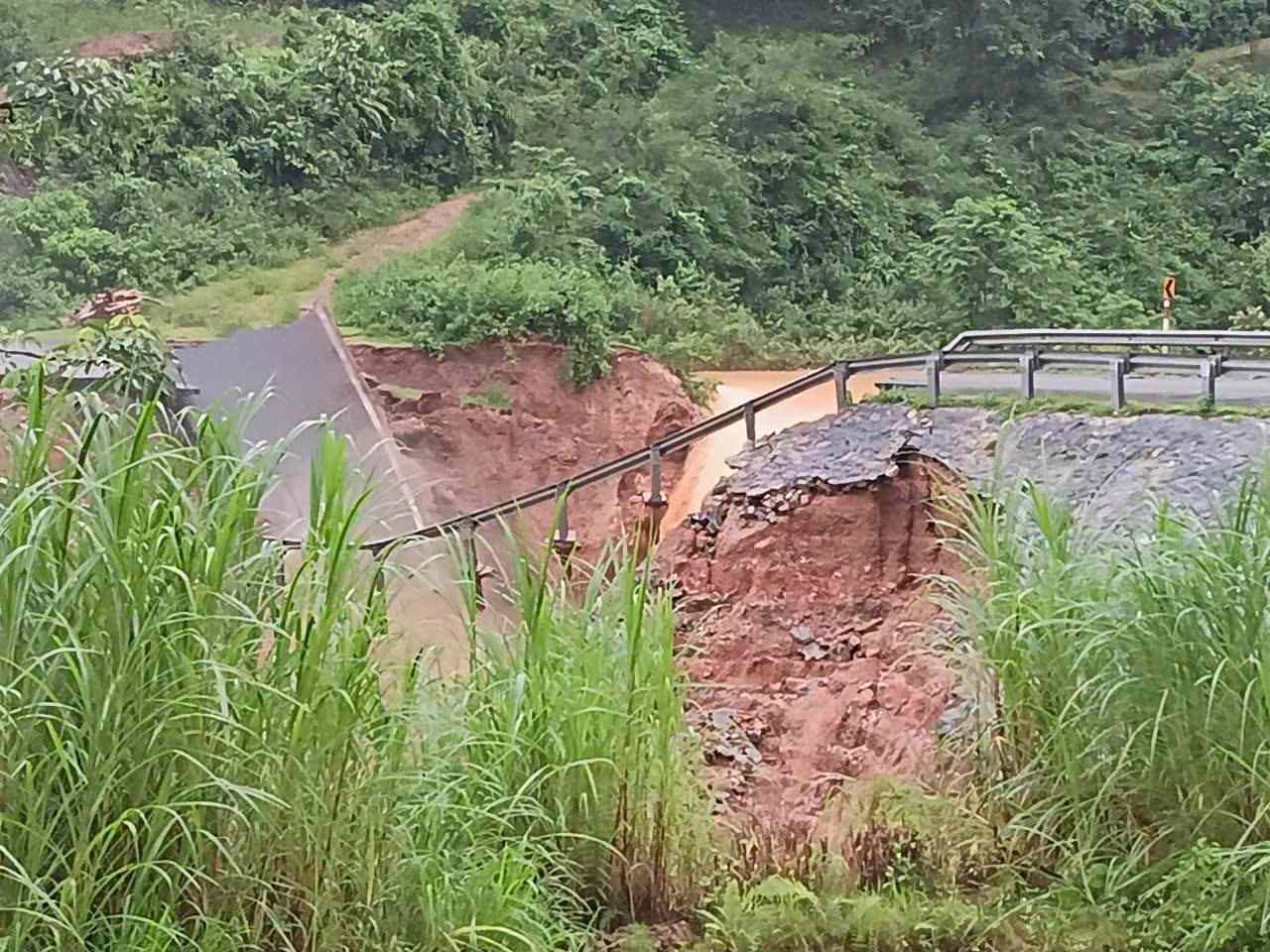
Faced with complicated weather developments, functional agencies warn of the risk of flash floods, landslides and subsidence due to rain and floods or currents at disaster risk level 1.
Notably, on the morning of July 16, Lai Chau Provincial Police issued a warning about a serious landslide at Km76+300 on National Highway 12, the section from Chan Nua to Lai Ha.
The incident caused the road surface to be completely swept away, and vehicles could not pass through the area.
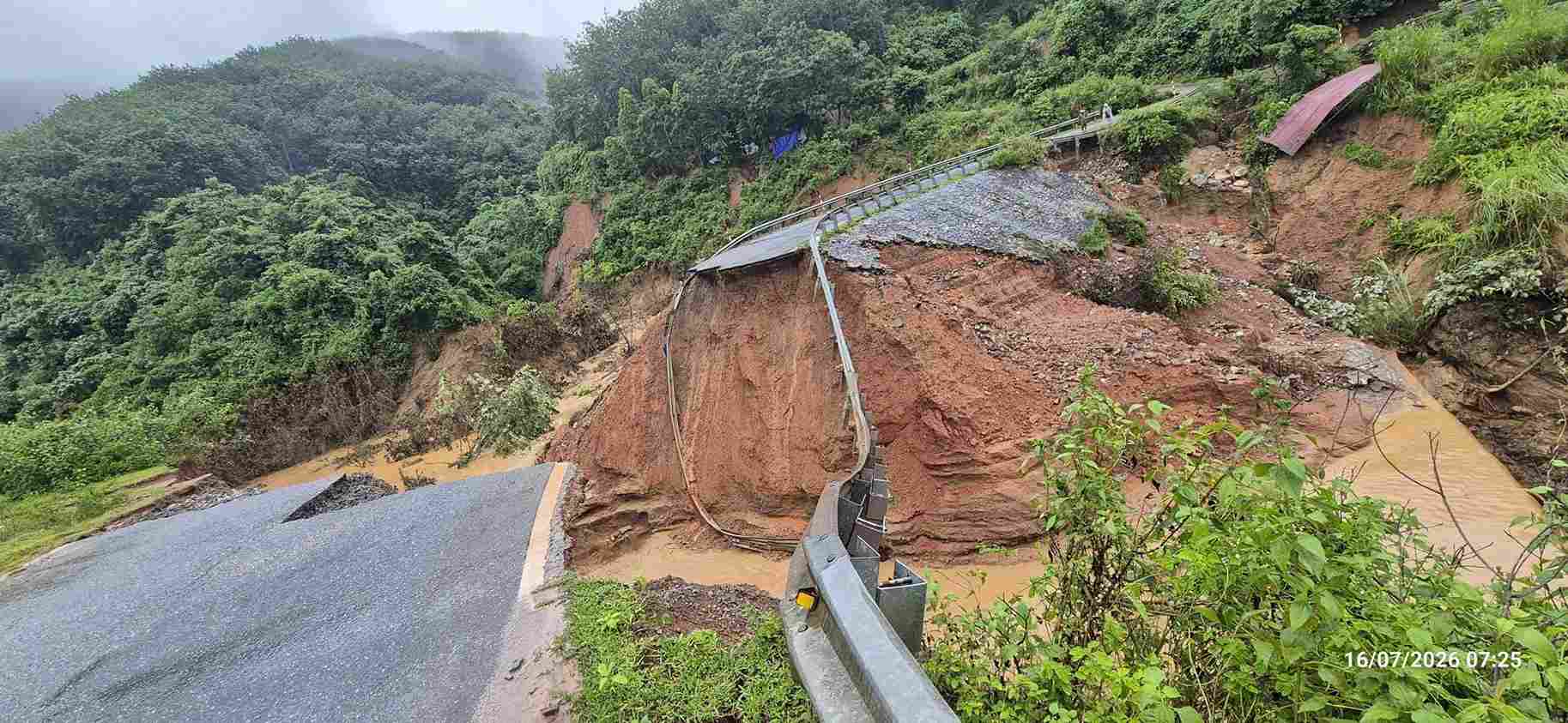
Records at the scene show that the landslide location formed a deep and wide pit of nearly 10 m, a taluy of tens of meters high deepened by floodwaters, and soil and rocks continuously subsided. The road surface of National Highway 12 was completely broken, the guardrail system was deformed and suspended in the landslide area.
National Highway 12 is a vital traffic route connecting Lai Chau and Dien Bien provinces, with a large volume of traffic every day.
Faced with the risk of continued landslides, functional forces have advised people and vehicles not to move through the area, and proactively chose alternative routes to ensure safety.


