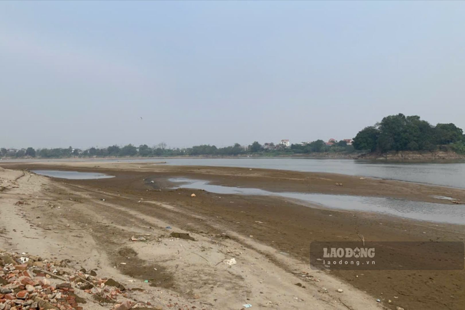
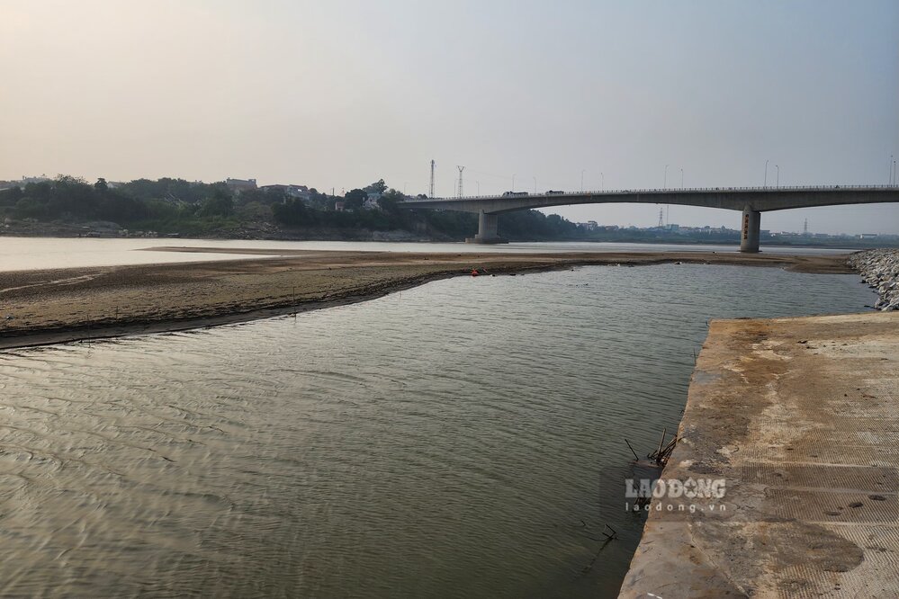
In recent months, the water level of the Red River in Lao Cai and Phu Tho has dropped low. According to Lao Dong Newspaper reporters in Phu Tho, the Red River water is dry, causing countless alluvial grounds and giant sand dunes to emerge in the middle of the river, the flow is narrow, many sections at first glance seem to be walking through.
At this time, in alluvial grounds along the river or even in the middle of the river, people have taken advantage of planting short-term crops such as corn, potatoes, peanuts... Places that were submerged in floodwaters a few months ago have wild plants growing everywhere.

Mr. Vu Dinh Thinh - a resident living in Ngoc Thap area, Phong Chau ward - shared: "The Red River water dries up very quickly, perhaps it will be like last year, lasting for many more months, from now until the 2026 rainy and flood season. I hope that the irrigation water taking of farmers will not be affected.
According to Mr. Tran Van Ton - owner of Tinh Cuong ferry wharf on the Red River (connecting Hung Viet commune with Chi Tien commune, Phu Tho province), the Red River water drain makes the business situation of boats/houses difficult.
The river water is dry, so we have to change the location of the wharf to pick up and drop off passengers, costing more to reinforce the wharf, and at the same time, when the ferry moves, it has to avoid sand dunes in the middle of the river, going around, so it takes more time and gasoline costs" - Mr. Ton shared.
According to the short-term hydrometeorological forecast bulletin and warning on January 28th of the National Center for Hydro-Meteorological Forecasting, the water level of the Thao River (Red River) at Yen Bai station (now Lao Cai province) and Phu Tho station are changing slowly.
The actual water level measured on the Thao River at Yen Bai station at 7 am on January 28 was at 23.13m, forecast to reach 23.20m by 7 pm, and at 1 am on January 29 at 23.05m.
At Phu Tho station, the actual water level measured at 7 am on January 28 was at 10.66m, forecast to be 10.55m by 7 pm, and at 1 am on January 29 at 10.60m.
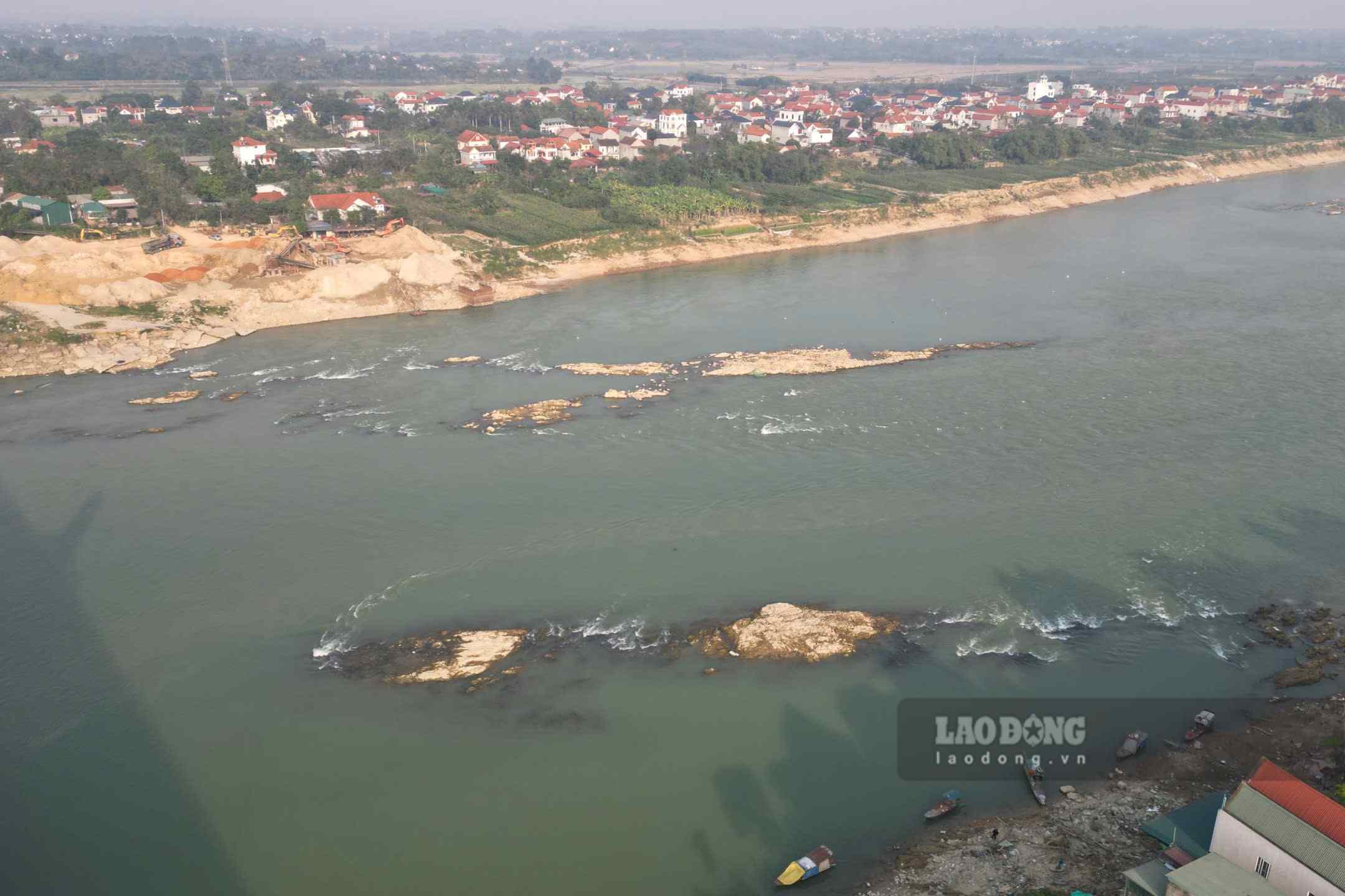
For the Lo River, in recent days, the river water level at Tuyen Quang station and Vu Quang station (Phu Tho) has been fluctuating with an upward trend due to hydropower plants on the above line increasing power generation, increasing discharge flow downstream, serving the 2nd Winter-Spring crop of 2025 - 2026.


