According to the proposal, the software is built by VNPT HCM with many features serving both management agencies and people and businesses.
The system will receive and process online licensing dossiers, connect to the Information System for resolving administrative procedures of the Ministry of Construction; and at the same time manage, approve and store electronic dossiers.
One of the notable points is that the entire licensing work will be managed on the digital map of Ho Chi Minh City, helping to visually track the locations that have been licensed to temporarily use roads and sidewalks. The software also integrates functions of fee and charge collection management, statistical reporting and operation support.
The application is expected to be released on both the Play Store and Apple Store for people to conveniently use on smartphones.
According to the plan, the pilot period lasts 18 months from the date of approval of the policy. After this time, agencies will evaluate the effectiveness to propose implementation plans in the next phase.
It is expected that in the second quarter of 2026, Ho Chi Minh City will start organizing training and education for civil servants and employees at the Department of Construction and People's Committees of wards, communes, and special zones to operate the system.
The entire pilot implementation cost is self-arranged by VNPT HCM and does not require the city to refund.
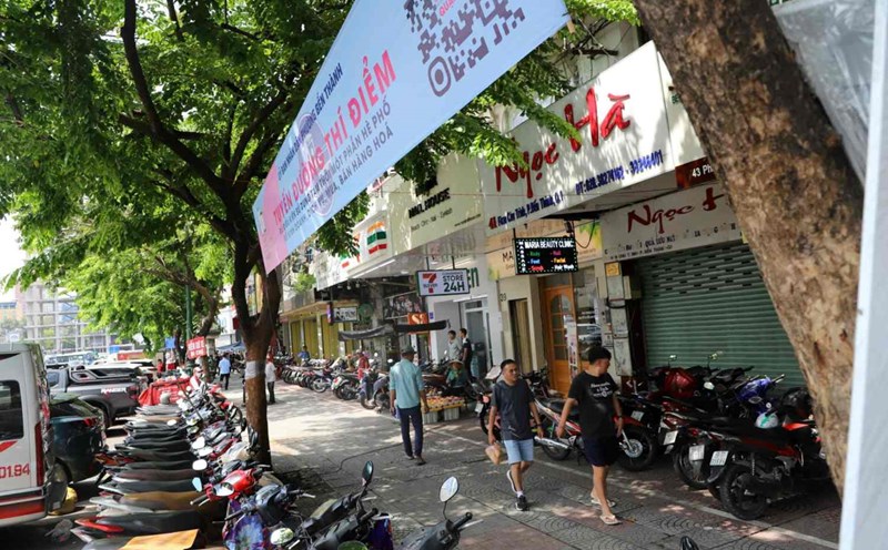
According to the Ho Chi Minh City Department of Construction, after the merger, the demand for temporary use of roadways and sidewalks to serve business and production increased sharply, with the number of applications for licensing increased by more than 200% compared to before.
High demand is concentrated in tourism and service development areas such as Vung Tau, Tam Thang, Rach Dua and Phuoc Thang wards.
It is expected that by the end of 2026, Ho Chi Minh City may have more than 20,000 charging stations and battery exchange cabinets, most of which are located on sidewalks.
However, currently Ho Chi Minh City does not have a centralized management tool to immediately monitor the situation of temporary use permits for roads and sidewalks throughout the area.
The city also does not have a centralized digital map showing the boundaries of licensed locations, causing overlapping inspections with infrastructure projects, underground works, traffic planning or green trees mainly based on the experience of officials.
The work of reviewing fee and charge collection is still carried out manually, causing delays and making it difficult to detect cases of not fulfilling financial obligations or using beyond the permitted time limit.
The urban order inspection force, police and local authorities also lack a common data platform to inspect and verify licenses right at the scene, causing difficulties in handling violations.
According to the Department of Construction, the lack of a digital system also limits the ability to analyze in-depth data by route, type of use or usage time to serve management and policy planning.
Not only management agencies, people and businesses also face many obstacles in the process of applying for temporary use of roads and sidewalks.
According to the Department of Construction, if deployed, the software will help increase transparency in resolving dossiers, support online monitoring, reduce the risk of negative developments, and create conditions for people to reflect violations of urban order to functional agencies quickly and conveniently.