The Ring Road 2 project, Tan Vu - Hung Dao - Bui Vien section, has a total length of about 11km through 3 districts: Hai An, Duong Kinh and Kien An with a total investment of more than VND 7,439 billion.
The project's goal is to complete the urban infrastructure system, create a premise for developing new urban areas, attract domestic and foreign investment capital to invest in socio-economic development of districts with routes passing through the city.
The project is divided into 2 sections with a scale of 8 lanes and 2 bridges across the river and an overpass at the intersection, including the following items: Tan Vu section - Hai Thanh bridge and Tran Hung Dao section - Bui Vien road, 37m wide, 8-lane road surface. The section from Provincial Road 353 - Hung Dao is 68m wide, with an 8-lane road surface. Hai Thanh Bridge crosses Lach Tray River with a length of about 1,257m, the width of the bridge is 32m, including 8 lanes. The overpass at the Bui Vien intersection is about 327.45m long, the bridge surface is 25m wide, including 6 lanes.
In Kien An district, the following items will be implemented: the intersection of the Bui Vien overpass and 750m of road with a 37m wide foundation, 8-lane road surface. The total area to be recovered for project implementation in the district is 17.79 hectares. The total cost of site clearance is 170 billion VND. Of which, there are 9 hectares of rice fields and more than 2,000m2 of residential land.
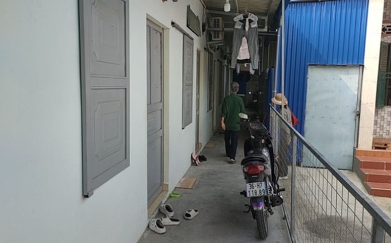
According to information from the People's Committee of Kien An District, as of February 18, out of a total of 271 households with agricultural land subject to project recovery, 201 cases have received money and handed over the site. The most current problem in site clearance is cases related to grave land and residential land.
Specifically, in cases where the site has not been handed over, 30 households have adjusted their compensation and support plans, 16 households have decided to approve the compensation and support plans but have not yet received the money. With 24 households on the land having graves, Dong Hoa ward has owned 35 graves and is continuing to own the remaining graves. For 22 households with residential land subject to revocation, 15 cases with land use right certificates, the competent authorities have publicized the compensation and support plan. In 7 cases where there are no land use right certificates, the ward has made land origin records. The authorities are continuing to take the next steps.
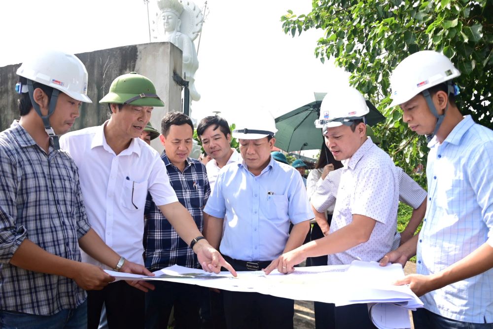
Faced with this reality, Mr. Pham Van Dien - Vice Chairman of Kien An District People's Committee requested sectors, units and wards to be more determined in site clearance. In particular, promoting propaganda in many forms to organizations and individuals whose land is subject to project recovery.
For agricultural land areas and land with graves, units urgently collect owners, if the land user cannot be identified, continue to implement according to the provisions of law. With an area of 5% of land (agricultural land used for public purposes of communes, wards and towns), Dong Hoa ward is propagating to households to harvest crops and livestock to hand over the site for project implementation in February 2025. The competent authority must complete the compensation and support plan for eligible households in accordance with the provisions of law.