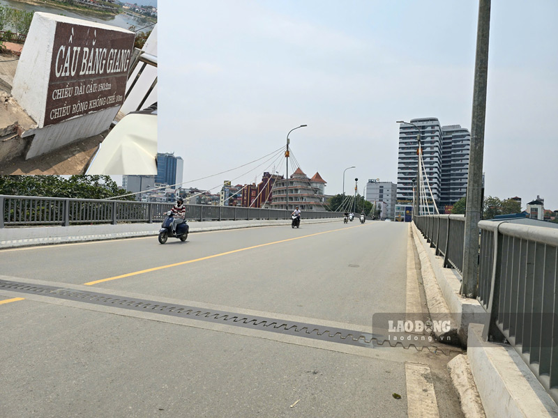
Bang Giang Bridge connects Hop Giang and Song Bang wards, located right in the center of Cao Bang city. This bridge dates back to the resistance war against France, was destroyed many times by war and was rebuilt in the 90s of the last century.
Recently, some social media accounts shared their opinions that after dredging the Bang Giang River, the water level decreased, causing the bridge abutment to be exposed.
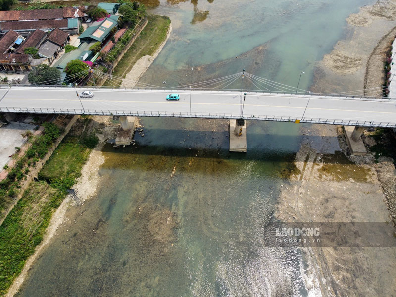
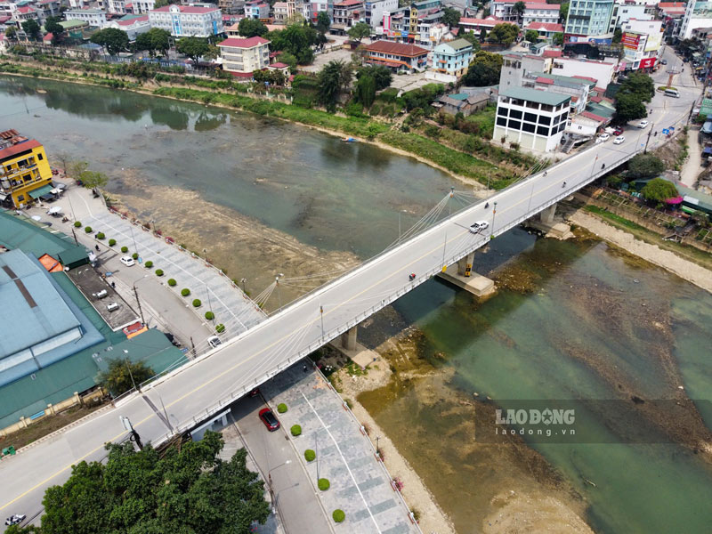
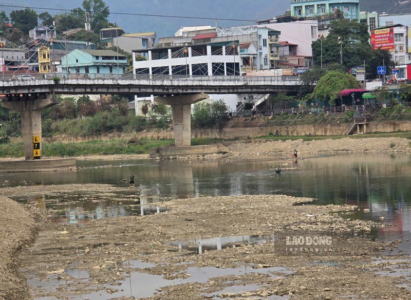
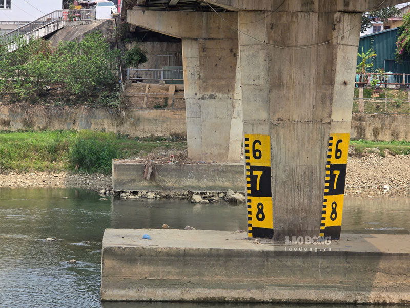
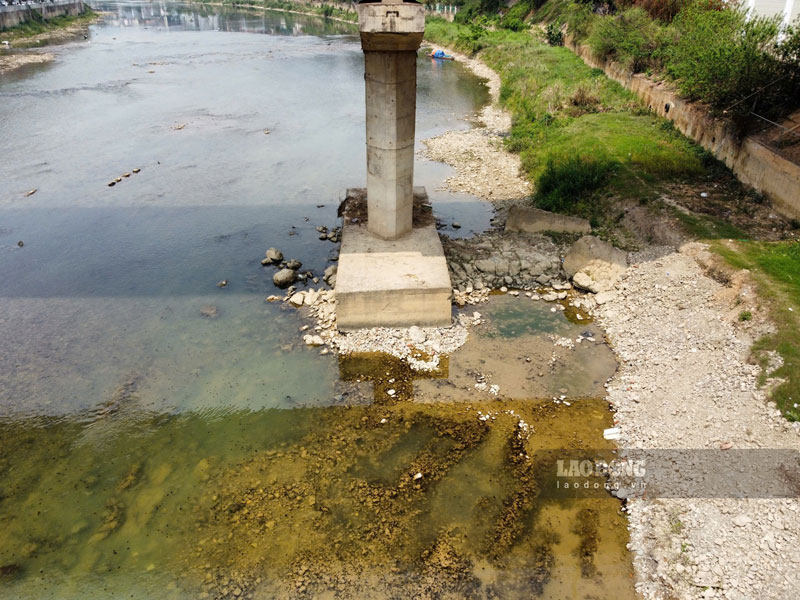
In fact, the water level recorded on January 3 shows that the river level is currently very low, people can even wade in the middle of the river to catch fish. The bridge piers are clearly exposed, but vehicles are still moving normally, because this is an important route with high traffic density.
Regarding the information of Bang Giang bridge showing signs of degradation, Mr. Hoang Xuan Thao - Head of Urban Management Department of Cao Bang City - affirmed: "It is normal for the river level to be lower than the pillar in the dry season.
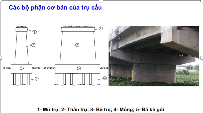
He further explained that the pillar base is only the connection between the pillar body and the pillar foundation, while the main load-bearing part of the bridge is the pillar foundation located deep below.
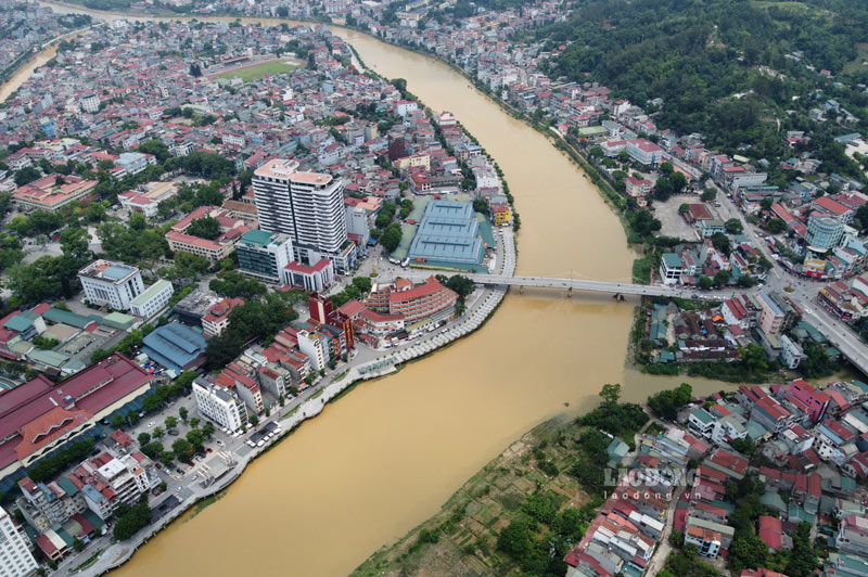
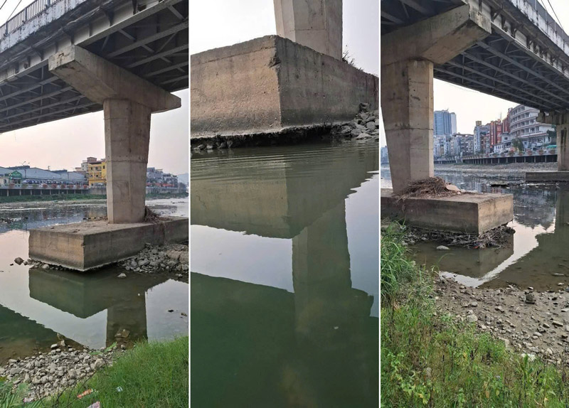
Mr. Thao also reassured people not to worry too much when seeing the bridge piers exposed due to the dry river water. Authorities are closely monitoring and inspecting to ensure the safety of this important traffic project.
On the same day, a representative of the People's Committee of Cao Bang City said that they had assigned the Urban Management Department to inspect the status of Bang Giang Bridge. If any problems are discovered that need to be handled, they will report to the Department of Construction - the competent unit managing the bridge.

