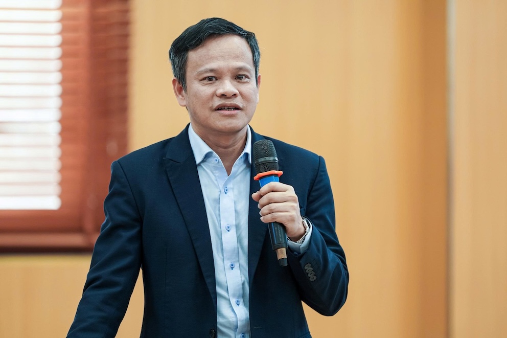
Speaking at the opening of the Forum " applying science and technology in forecasting and early warning of natural disasters", Dr. Cao Duc Phat, former Minister of Agriculture and Rural Development (now the Ministry of Agriculture and Environment), Chairman of the Management Board of the Community Defense Fund, emphasized that in recent years, Vietnam has continuously suffered from many large-scale storms and floods with seriousness and many historical indicators.

In responding to natural disasters, prevention work always plays a key role, first of all the ability to monitor, forecast and give early warnings. According to Dr. Cao Duc Phat, in recent years, the state, businesses, social organizations and the international community have invested in improving monitoring and forecasting capacity and achieved many advances, especially in storm forecasting.
However, due to increasingly unpredictable and diverse natural disasters, monitoring and warning work still has limitations compared to practical requirements. On the other hand, the strong development of science and technology, especially digital technology and artificial intelligence, is opening up new opportunities to improve forecasting efficiency. In addition to satellite data, many automatic devices for measuring rain, radar, temperature, wind, water level, speed or rock and soil movement are being deployed, allowing faster information integration, more accurate simulation for each location and timely transmission to the people, Dr. Cao Duc Phat raised the issue.
In the early warning work, from 2016 to 2025, the Community Defense and Natural Disaster Prevention Fund has sponsored the installation of rain gauge stations, flood warning towers, and landslide warning systems in many localities, contributing to improving the response capacity of the community and the government.
In the coming time, the Fund will focus on applying technology in early warning, building a real-time monitoring and operation system, community evacuation drills, expanding mangrove planting and enhancing response capacity for grassroots forces as well as people.
Also at the forum, Prof. Dr. Do Duc Minh (University of Natural Sciences, Vietnam National University, Hanoi) presented solutions for detecting landslide risks and safe residential area models, based on geological data, machine learning technology and real-time warning systems. These results were tested in Mu Cang Chai town - where landslides, flash floods and mud and rock floods have occurred continuously in recent years.

Prof. Dr. Do Minh Duc believes that building a safe residential area on steep land is completely feasible when combining geological data, monitoring systems and mobile applications. He emphasized three important lessons: "3 early detection, early warning, early action), "3 correct" (right person, right job, right time) and "3 levels" (with information, understanding information, converting information into action). This will be the foundation for localities to be more proactive in the face of increasing extreme phenomena.
According to Mr. Le Viet Xe, Deputy Director of Water Resources Consulting and Technical Development Joint Stock Company (WATEC), in response to the urgent requirements of early warning and digital transformation trends in building smart cities, the VFASS automatic flood monitoring system is being researched and developed.
With an automated system, monitoring battery status, connection, sensor and server, the data delivery system serves the flood forecast model and build a flood map. The system has now been deployed with 140 flood warning towers, automatic flood monitoring stations and more than 70 warning stations nationwide, and exported to the Philippines, said the WATEC Deputy Director.


