The National Center for Hydro-Meteorological Forecasting has released a weather trend forecast for the next month (from now until October 20).
Regarding temperature trends, the average temperature across the country is generally 0.5 - 1 degree Celsius higher, and in some places higher than the average of many years in the same period.
During the forecast period, cold air begins to operate and affect our country's weather.
Total rainfall nationwide is generally at approximately the average level of many years; in the Central Central region, total rainfall is generally 15 - 30% higher than the average of many years in the same period.
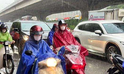
During the next month, there will be many days of rain, showers and thunderstorms nationwide, with some days of moderate to heavy rain. In particular, the Central region is likely to experience some widespread heavy rains.
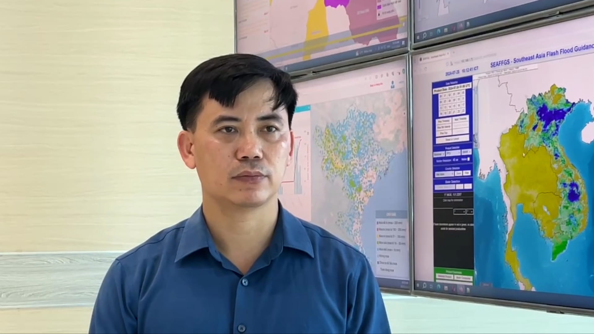
Mr. Nguyen Van Huong - Head of Division Weather Forecast, National Center for Hydro-Meteorological Forecasting, Directorate of Hydro-Meteorological Forecasting, commented that the remaining time of September is still the rainy season in the Northern and Central Highlands regions. Therefore, this region still has many days of moderate and heavy rain; the potential risk of flash floods and landslides in this area is at a high to very high level.
"The time when La Nina gradually becomes stronger coincides with the period of rain and floods in the Central region. Therefore, we warn that from now until November, storms, rain and floods may appear frequently in the Central region" - Mr. Huong analyzed.
Regarding dangerous weather phenomena at sea, the meteorological agency forecasts that from now until October 20, storm/tropical depression activity in the East Sea and its impact on Vietnam's mainland is likely to be at a level approximately equal to the average of many years in the same period. The average data for many years in this period in the East Sea is about 2.1 storms; 0.9 storms make landfall in Vietnam.
In the coming time, dangerous weather phenomena such as storms/tropical depressions, southwest monsoons, thunderstorms, and tornadoes at sea are likely to cause strong winds and large waves affecting activities in the East Sea. Heavy rain, strong thunderstorms accompanied by tornadoes, lightning, hail, and strong gusts of wind can greatly affect production and people's activities.
The meteorological agency also noted that long-term warning bulletins are often trend forecasts. Therefore, to have a better basis for weather forecast information, people should wait for short-term bulletins issued daily by the National Center for Hydro-Meteorological Forecasting.