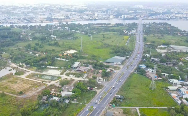
On December 6, information from the People's Committee of Dong Nai province said that it had decided to approve the local adjustment of the 1/10,000 scale planning of Bien Hoa city until 2023, with a vision to 2050, covering part of the urban area west of the Bien Hoa - Vung Tau expressway.
In which, adjusting the population size from 420,000 people to 434,000 people; adjusting land use indicators for urban residential land from 45-55 m2/person...
Local adjustment of the master plan to overcome shortcomings in the overall adjustment dossier of the Bien Hoa City master plan approved in 2014, which did not fully update the detailed planning content of 1/500 of projects being implemented within the scope of subdivision C4 (which has been granted land use right certificates).
At the same time, adjust and supplement the planning to suit the new development orientation of Bien Hoa City, including:
Demarcate the 90-hectare area that has not completed compensation and site clearance work and separate it from the project implementation boundary; Adjust the green corridor along the river and the lake park.
At the same time, add some green parks concentrated in urban areas; Adjust the location of the public service - commercial center system in the direction of updating the public works system according to the approved 1/500 detailed planning, add some public works suitable for the new development orientation of Bien Hoa City; Update according to the current status of existing religious and belief facilities in the urban area.
Adjusting the functional structure of land use. Of which, the urban residential land planning increased by about 166.8 ha and the riverside green corridor land planning decreased by about 251.3 ha... The green park land planning - open space increased by about 35.6 ha; The river and stream land planning decreased by about 6.8 ha; The public center land planning - urban commercial services increased by about 1.5 ha; The tourism land planning decreased by about 4.1 ha; The religious land planning increased by about 2.6 ha; The urban traffic and technical infrastructure land planning increased by about 55.7 ha.
Regarding the planning of traffic system development, there is a plan for Huong Lo 2 route, Long Hung - Phuoc Tan road with a road width of 60 m.
Planning the urban road network in the area with a road width of 20.5 m to 45 m. In particular, ensuring reasonable connection between road traffic and the urban road network.
The stormwater drainage plan is divided into 4 main drainage basins to Dong Nai River, Buong River, Giua River, Ben Go River...
Additional planning of 110 kV Long Hung 2 transformer station according to provincial planning at Phuoc Hung islet and 110 kV connecting line running along the route from Phuoc Hung islet to Long Hung - Phuoc Tan road.


