storm no. 7
139 communes and wards are at risk of flash floods and landslides due to the circulation of storm No. 7
|
Storm No. 7 weakening has caused many mountainous areas in the Northern Midlands to face record-breaking heavy rain, risk of landslides and flooding.

Low pressure forecast near the East Sea after storm No. 7
|
According to the latest storm/low pressure forecast, 3 low pressure areas are expected to appear near the East Sea in the next 2 weeks, after storm No. 7.

Storm No. 7 Tapah weakens into a tropical depression, about to cause strong thunderstorms
|
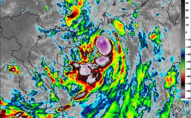
According to the meteorological agency, storm No. 7 Tapah has weakened into a tropical depression and will continue to weaken into a low pressure area in the next 12 hours.

Storm No. 7 Tapah gusts to level 10, the storm circulation will cause heavy to very heavy rain in the North in the next 2 days
|
According to the meteorological agency, in the next 12 hours, storm No. 7 Tapah is forecast to weaken into a tropical depression, followed by a low pressure area.

Storm No. 7 Tapah gusts to level 12 after more than 3 hours of making landfall, forecast of bad weather
|
Storm No. 7 is about to weaken into a low pressure area on the mainland of Guangxi province (China), but the circulation after the storm will cause heavy rain in Northern Vietnam from September 9.

Typhoon No. 7 Tapah has made landfall in China, warning of dangerous impacts
|
This morning, September 8, Typhoon No. 7 Tapah entered the mainland area southwest of Guangdong province (China).

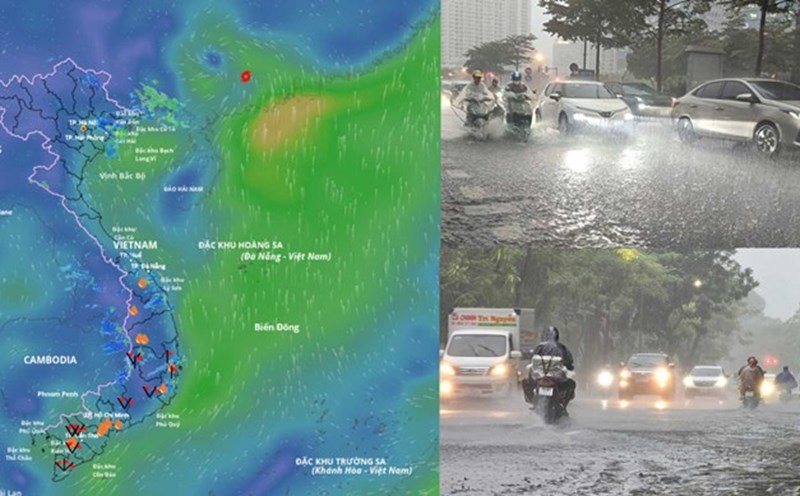
Heavy rain is coming in the North due to the circulation of storm No. 7 Tapah, warning of dangerous weather
|
According to the meteorological agency, from September 9 to the night of September 10, the midlands and northern mountainous areas will have local heavy to very heavy rain; on September 9 alone, there will be places with rainfall of over 200mm.

Storm No. 7 Tapah makes landfall, Hong Kong (China) stops operating
|
Hong Kong (China) closed many schools and businesses as Typhoon No. 7 Tapah caused strong winds, heavy rain and affected traffic.

Storm No. 7 Tapah is strong at level 11, gusting to level 13, forecasting the sea area to be rough
|
Due to the impact of storm No. 7 Tapah, the North East Sea area is near the center of a strong storm of level 10-11, gusting to level2; waves 4-6m high, the sea is very rough.
Storm No. 7 intensifies violently, making landfall this morning, forecasting affected areas in Vietnam
|
Typhoon No. 7 Tapah is forecast to make landfall in Guangdong province, China on the morning of September 8 and is expected to greatly affect Northern Vietnam from September 9.
Storm No. 7 Tapah strengthens to level 13, warns of dangerous weather far from the storm's circulation
|
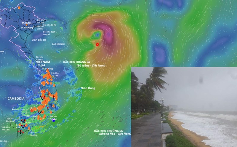
According to the meteorological agency, storm No. 7 Tapah has increased in intensity, strengthening to level 9 - 10, gusting to level 13 this afternoon, September 7.

Forecast of the time when the North will experience widespread heavy rain again due to storm No. 7 Tapah
|
According to the meteorological agency, the focus of heavy rain caused by storm No. 7 Tapah is the midland and mountainous areas of the North.

Storm No. 7 Tapah is about to strengthen to level 13, forecast to be strongly affected
|
According to the meteorological agency, it is forecasted that due to the impact of storm No. 7 Tapah, the sea area north of the northern East Sea - the area near the storm's center will have strong winds of level 9 - 10, gusts of level 13, and very rough seas.

Storm No. 7 Tapah is about to reach its peak intensity in the next 12 hours, right before making landfall
|
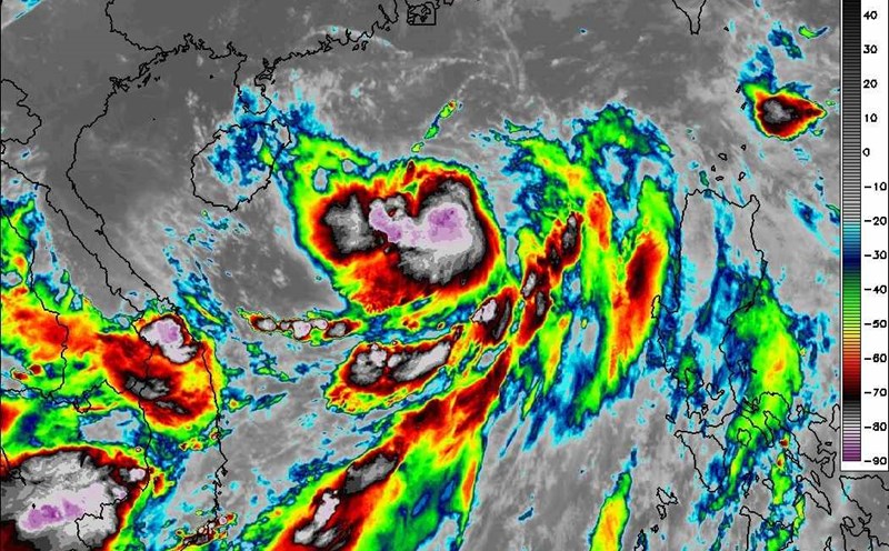
According to the meteorological agency, in the next 12 hours, storm No. 7 Tapah is forecast to reach its strongest intensity of about level 10, gusting to level 13.
Storm No. 7 Tapah is expected to make landfall tonight, the East Sea will be severely affected
|
According to the latest storm news, Typhoon No. 7 Tapah is expected to make landfall on the night of September 7 or early morning of September 8.