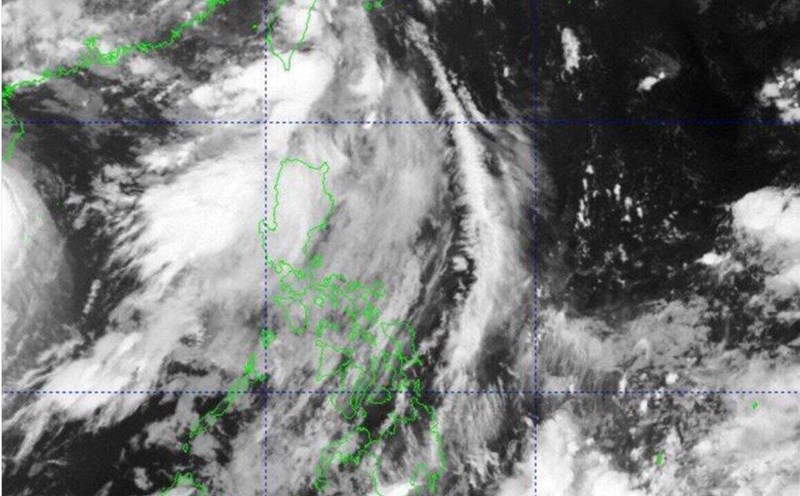
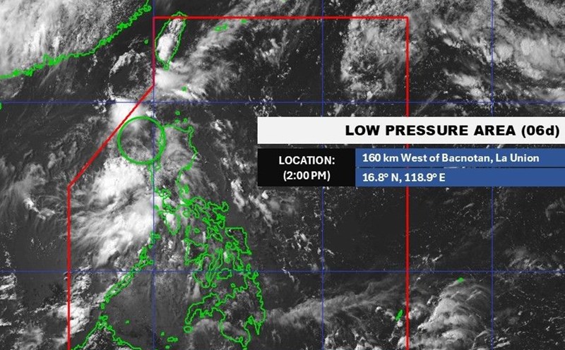
The latest storm and low pressure information from the Philippine Atmospheric, Geophysical and Astronomical Services Administration (PAGASA) on June 20 said that there are forecasts of 2 low pressure areas near the East Sea in the coming time on July 3.
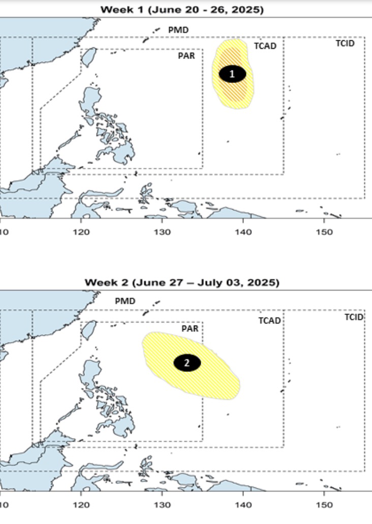
Philippine typhoon forecasters said that during the week of June 20 to June 26, a low pressure area near the East Sea is forecast to form in the TCAD forecast area of PAGASA. This low pressure is expected to appear in the northeastern part of TCAD during the forecast period. Forecast models show that this depression has the potential to strengthen into a storm, at a low to moderate level.
PAGASA's bulletin said that from June 27 to July 3, a second low pressure near the East Sea is forecast to form at the eastern boundary of the Philippine Forecast Area (PAR) and TCAD. The new low pressure has a wider area of influence than the previous low pressure. However, this low pressure is unlikely to strengthen into a storm during the forecast period.
Typhoons in June near the Philippines typically have four expected paths, according to PAGASA. Accordingly, storms near the East Sea in June often enter the PAR forecast area, heading towards the Philippine mainland but do not make landfall but rotate towards Japan.
Second, the storm enters PAR but does not make landfall but loops towards Taiwan (China) or Japan.
Third, the storm makes landfall north of Luzon Island, Philippines, then moves into the East Sea, heading north of Vietnam or Hong Kong (China).
4th, the storm makes landfall northeast of Visayas, Philippines then moves into the East Sea, heading north of Vietnam or Hong Kong (China).
Meanwhile, typhoons in July near the East Sea typically have three expected paths, including the possibility of entering the East Sea.
First, the storm will head north of the PAR, not make landfall in the Philippines but will circle towards Taiwan (China) or Japan.
Second, the typhoon makes landfall in the northernmost islands of the Philippines and then heads towards China or Hong Kong (China).
Third, the storm makes landfall north or central Luzon, Philippines, then moves into the East Sea and heads towards Vietnam.
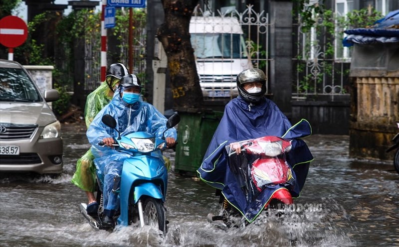
PAGASA's latest weather bulletin on June 20 said that no storms are expected to form or enter the PAR in the next 5 days. Although no storms are expected to directly affect the Philippines in the coming days, the southwest monsoon will bring rain to many areas this weekend.
PAGASA weather expert Benison Estareja noted that the southwest monsoon will begin affecting Palawan on June 21, bringing showers and thunderstorms. Western Mindanao is also forecast to see rain due to the tropical convergence zone.
It is forecast that from June 22 to 24, rain is expected to affect the western areas of Central Luzon, especially Zambales and Bataan, as well as the areas of Southern Luzon such as Mimaropa, Cavite and Batangas.
Central Visayas and part of the Negros Islands may also experience rain during this period. Scattered showers may gradually extend to Metro Manila and other areas in Central Luzon, Southern Luzon and the Visayas.