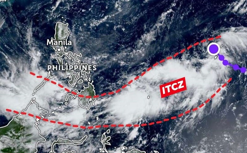
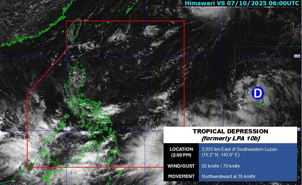
The storm/low pressure information from the Philippine Atmospheric, Geophysical and Astronomical Services Administration (PAGASA) said that at 2:00 p.m. on October 7, the low pressure area near the Philippines strengthened into a tropical depression.
The center of the tropical depression is located at 15.2 degrees north latitude, 143.0 degrees east longitude, 2,035 km east of Southeast Luzon. Maximum winds near the center of the tropical depression are 55 km/h, gusting to 70 km/h. The tropical depression is moving rapidly northwest at 35 km/h.
PAGASA weather forecaster Robert Badrina said the tropical depression is unlikely to enter the Philippine Forecast Area (PAR) in the next 24 hours.
Meanwhile, he said at least three weather systems are affecting the entire Philippines with the northeast wind bringing cloudy skies and rain in the Bicol region and Quezon province.
Mindanao, Visayas and Palawan will experience cloudy skies with scattered showers and thunderstorms due to the Intertropical Convergence Zone (ITCZ).
The Cagayan Valley, Ilocos Norte, Apayao and Aurora will experience cloudy to gloomy skies with scattered light rains from the northeasterly wind flow, which could bring more rain and cold temperatures.
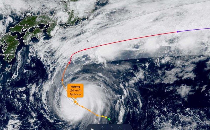
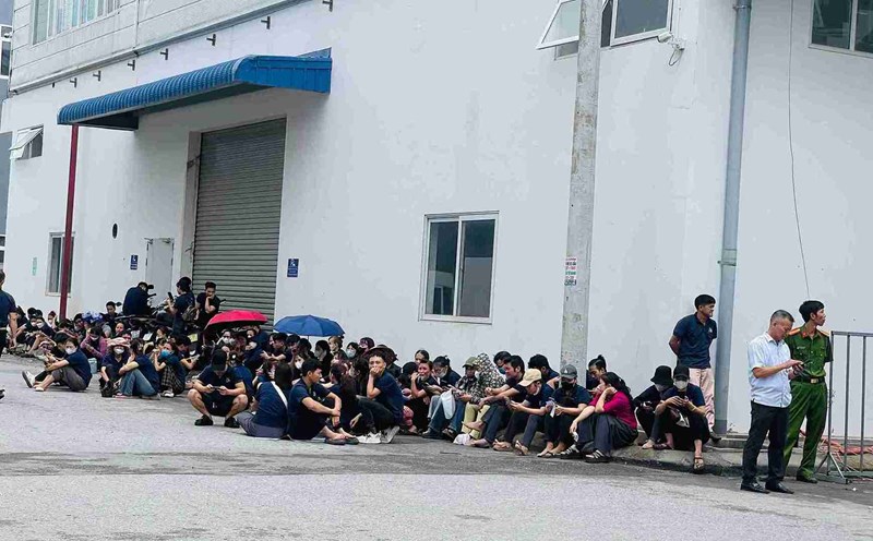
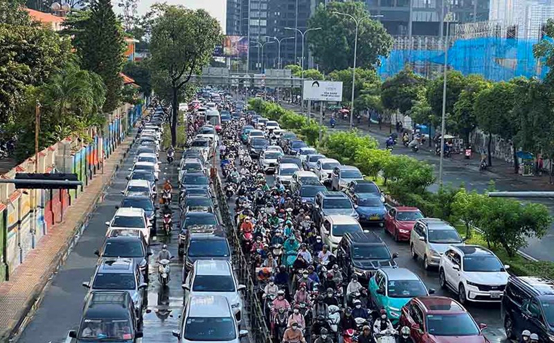
The Philippines has just suffered from Typhoon No. 11 Matmo (local name: Paolo) with more than 300,000 people affected, of which more than 8,000 people had to be evacuated, traffic infrastructure, electricity and seaports were severely damaged.
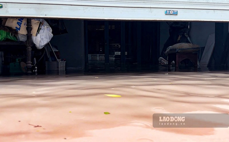
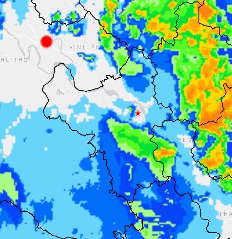
Meanwhile, the circulation of storm No. 11 caused flooding, heavy rain, and severe flooding in Northern Vietnam. The heavy rain that poured in in the early morning of October 7 turned many roads in Hanoi into rivers, and a series of vehicles stalled. 29 points in Hanoi were heavily flooded, people were soaked in water.
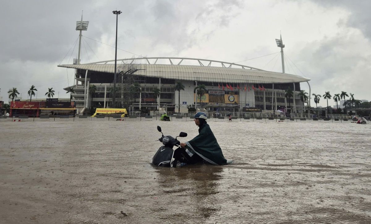
The rain forecast bulletin issued at 2:50 p.m. on October 7 by the Vietnam National Center for Hydro-Meteorological Forecasting said that in the next 4 hours, areas in Hanoi including Ngoc Ha, Giang Vo, Nghia Do, Duong Noi, Ha Dong, Dinh Cong, Hoang Liet will have showers and thunderstorms, then spread to other areas in the inner city. During thunderstorms, there is a possibility of tornadoes, lightning and strong gusts of wind.
In the next 6 hours, there is a risk of flash floods, landslides, and land subsidence on steep slopes and small streams in the provinces of Lai Chau, Dien Bien, Son La, Phu Tho, Lao Cai, Tuyen Quang, Thai Nguyen, Cao Bang, Lang Son, Quang Ninh, Bac Ninh, Hai Phong City, Thanh Hoa.