The typhoon forecast of the Philippine Atmospheric, Geophysical and Astronomical Services Administration (PAGASA) said that the 16th to 19th storms this year may make landfall in the Philippines in October, with some of them likely entering the East Sea.
The 12-12 season is typically the peak of the hurricane season, with a high risk of direct landfall rather than just offshore.
In the fourth quarter, the most vulnerable areas are Visayas and Mindanao (Philippines), and are likely to spread to the East Sea, affecting Vietnam - Mr. Marcelino Villafuerte II, Deputy Director of PAGASA, commented.
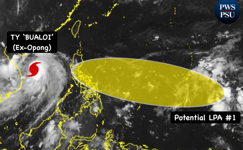
According to PAGASA, the Philippines has been hit by 15 typhoons since the beginning of the year, most recently Typhoon Opong (Typhoon No. 10 Bualoi) causing heavy damage in Luzon.
PAGASA said that from now until the end of the year, there will be 5-9 more storms, of which October will have 2-4 storms, November will have 2-3 storms and December will have 1-2 more storms. This means that the total number of storms this year may exceed the annual average of 19-20 storms.
Villafuerte said that although the year-end storms are not too strong in winds, they increase the risk of making landfall directly, as they form closer to land in the context of a developing short-term La Nina.
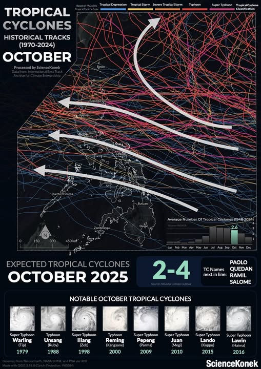
According to the rules of movement, October storms usually follow 4 main directions: Riding towards Japan or Korea;
Sweep through Northern or Central Luzon and then towards Hong Kong (China) and mainland China;
Passing through Southern Luzon before entering the East Sea, it may affect Vietnam.
Directly passing through Visayas and then into the East Sea, it is likely to affect Central Vietnam.
PAGASA forecasts that the 16th typhoon of the year in the Philippines will be named storm Paolo if it forms in the first week of October. The next list of typhoons is then Quedan, Ramil and Salome.
Experts note that in addition to "Christmas storms" - storms that often appear in large numbers at the end of the year, the phenomenon of more than normal rain in Southeast Asia will also be clearly visible due to the influence of La Nina. This means that Vietnam needs to prepare complex storm and flood response scenarios in October and the last months of the year.
The Philippine Ministry of Social Affairs and Welfare (DSWD) said it currently has more than 3 billion peso ($51 million) in reserve funds, along with millions of food packages ready for people in affected areas. The agency affirmed that food, clean water and temporary accommodation will be prioritized at evacuation centers.
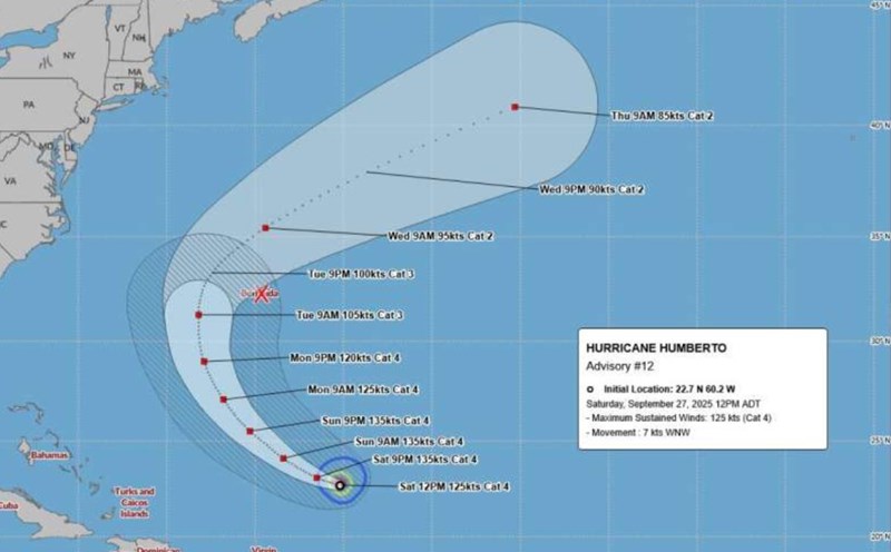
Regarding storm No. 10 Bualoi (storm Opong named after the Philippines), according to the Vietnam National Center for Hydro-Meteorological Forecasting (NCHMF), at noon on September 29, the storm moved to the Upper Laos area and weakened into a tropical depression.
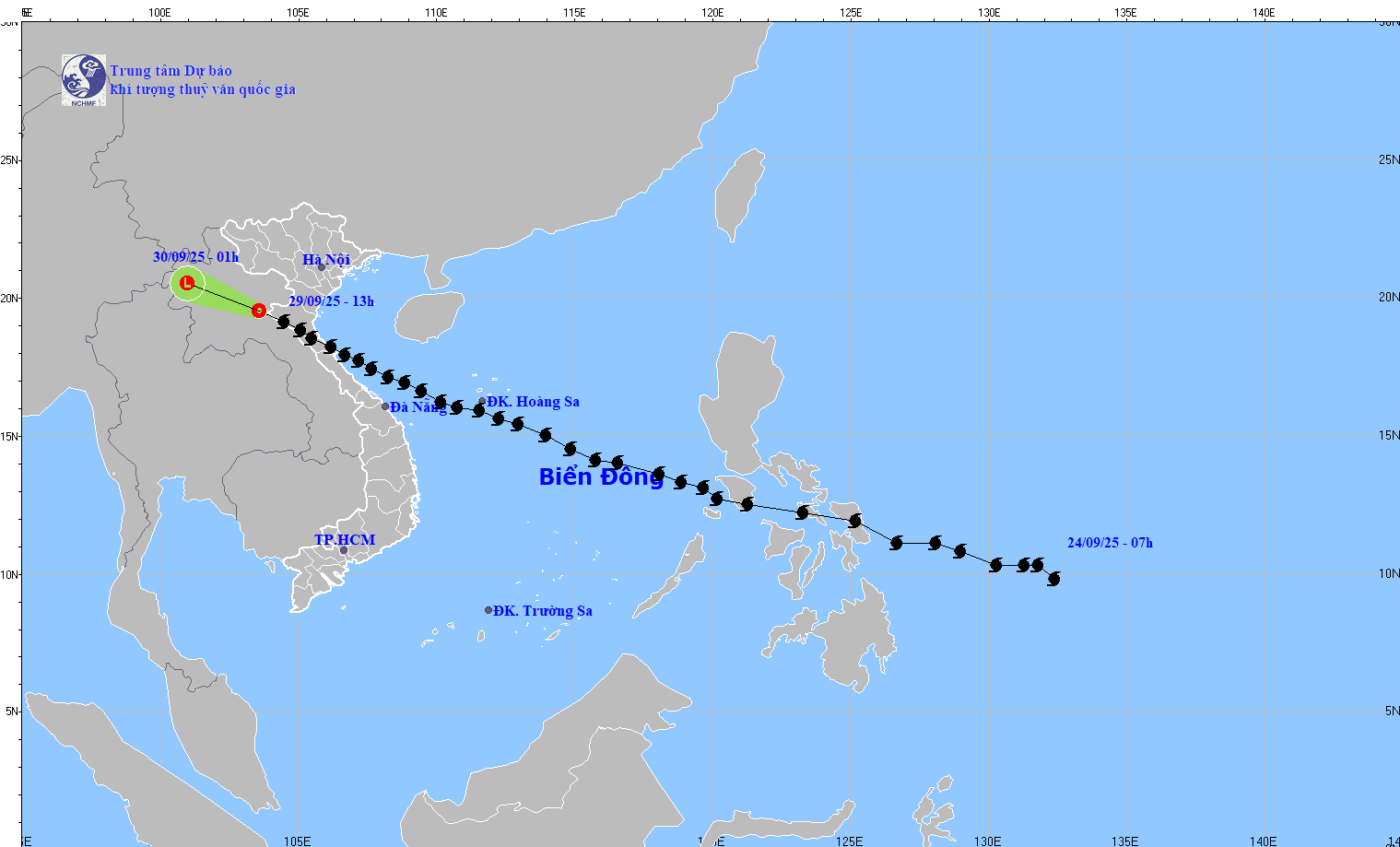
This afternoon and evening (September 29), in the coastal area from Quang Ninh to Thanh Hoa, there will be strong Southeast winds of level 6, some places level 7, gusting to level 9-10.
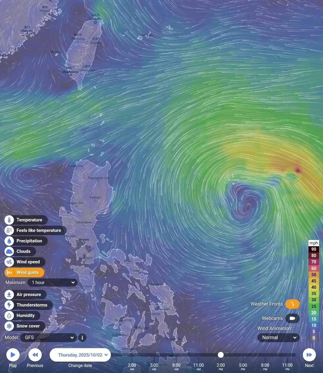
The situation of strong winds and big waves in the Gulf of Tonkin is still prolonged, it is necessary to pay attention to dangerous weather forecasts at sea.
Heavy rain in the North and Thanh Hoa continues, it is necessary to monitor more bulletins forecasting heavy rain.