AccuWeather warns that a new tropical disturbance may form near the southeastern United States beaches as early as National Day on July 4 or a few days later.
This could be the next depression or tropical storm of the 2025 Atlantic hurricane season and could bring heavy rain, strong waves, and gusts of wind to coastal states such as Florida, Georgia, and the two northern and southern states of North Carolina.
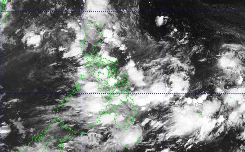
Forecasters are closely monitoring an area extending from the eastern Gulf of Mexico to the Atlantic Ocean near Florida and up to the coast of Georgia, South and North Carolina as a day on July 3. waters warmer than 26 degrees Celsius enough to fuel a tropical cyclone are creating favorable conditions for low pressure/storm forming this week.
The likelihood of a tropical depression forming in the southern Atlantic coastal area has been raised to moderation, while the likelihood of a northeastern Gulf of Mexico remains low, according to AccuWeather's Alex DaSilva.
The situation of thick clouds, scattered showers and thunderstorms is tending to be concentrated and organized into clusters, extending from the sea to the mainland in the Southeast region of the US. This is the initial stage that shows the possibility of a tornado forming.
If a more concentrated low pressure area appears between thunderstorms, accompanied by light whirlwinds around the center and wind speeds of 56-61 km/h, this system can be classified as a tropical depression.
During the 2025 Atlantic hurricane season, two storms - Andrea and Barry - will not affect the US mainland. However, if the new tropical shape does indeed develop in the coming days, it will be the third storm and named Chantal on this year's list.
People and tourists flocking to the beaches of Florida, Georgia and the Carolina on July 4 are advised to closely monitor weather forecasts. Although the possibility of storm formation is uncertain, outdoor activities may be affected by heavy rain, thunderstorms, strong waves and dangerous offshore flows.
AccuWeather meteorologists are expected to see 11 to 16 named storms this season, after Andrea and Barry. There are about 2 months left until the peak of the storm season. Although the Atlantic hurricane season began slowly, the formation of storms was a few weeks ahead of schedule.