The latest hurricane information on August 27 from the US National Hurricane Center said that Hurricane Fernand is moving into the central Atlantic Ocean, 965km east-northeast of Bermuda.
Aside from the Fernand, no system is currently being tracked in the Atlantic basin - Caribbean Sea, Gulf of Mexico and some other parts of the Atlantic.
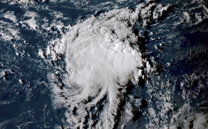
Hurricane Fernand is moving in the mid- Atlantic after Hurricane Erin. Fernand has been weak since August 26. The storm has maximum sustained winds of about 72 km/h.
The US Weather Forecast Agency said that Fernand's weakening may continue and Fernand is forecast to become a tropical depression on August 27 and not have a direct impact on land.
Initially, experts said that it is necessary to closely monitor the path and intensity of Fernand. However, AccuWeather forecaster Alex DaSilva said the storm had moved far away from Bermuda.
"A few days ago, we thought the storm could get a little closer, which could have some impact. The good news is that the storm has moved east. There is nothing to worry about this storm. This storm is heading out to sea," he said.
However, forecaster Alex DaSilva noted that the season, which starts on June 1 and ends on November 30, could heat up early.
"Sometimes there may be quiet periods between the hurricane season and perhaps we will have such a quiet one, at least in the entire major hurricane development region of the Atlantic," DaSilva said.
DaSilva points out that there are many subdued airs that could slow down the development of storms during the first week of September.
However, by the second week, "I think there will be a lot of vertical air movement. So we will have to monitor heat waves very carefully, as they can be like turning on the Atlantic.
In 2024, no Atlantic basin hurricane will form between August 20 and September 9. Two years before that, during the 2022 typhoon season, the basin had gone two months without a typhoon, including August, which was the second busiest month of the year.
The periods of absence of storms do not disrupt the development of storms seasonally but do not mean the signal of a year of less intense storms.
Fox Weather's hurricane experts point out that without Erin, a hurricane that has existed in the Atlantic for two weeks and maintains a strong hurricane intensity of many of these, the ACE accumulated storm energy index (used to assess the strength and activity of a hurricane season) for the 2025 hurricane season would be significantly lower than the standard. Erin has generated more than 85% of the energy of the storm season so far.
So far, six named storms have formed in the Atlantic, equivalent to an average hurricane season, but only Erin has strengthened into a hurricane.
The US long-range hurricane forecast shows that Atlantic hurricanes could become active again in mid- to late September. The peak season typically lasts until the first or second week of October before gradually decreasing towards the end of the season, with the end date being November 30.