A strong cold front is set to sweep across North America from the evening of December 11, sending temperatures in Alaska (US), Canada and much of the US below average by 15-25 degrees.
Forecasters warn that this could be the most severe cold spell since early December, asPolarvortex continues to be strongly disrupted.
The interruption of the exactly xyball caused the upper-level wind structure to be separated, pushing a strong cold front into North America. The cold front is expected to sweep into Alaska and Yukon first, quickly spreading across Canada's Prairie state, and cover the eastern two-thirds of the United States over the weekend.
The typical weather pattern of Polar Express (a chain of consecutive cold air waves flowing down from the Arctic to North America) is taking shape, carrying consecutive cold waves and snowstorms moving along the northern United States.
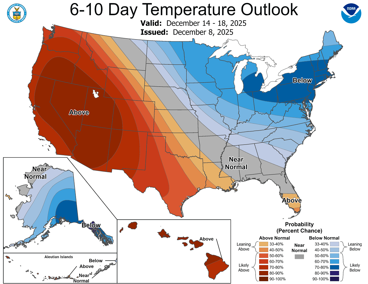
According to the National Oceanic and Atmospheric Administration (NOAA), from the end of this week to mid-December, much of Canada and eastern United States will experience much lower than average temperatures.
On the snow-covered ground, cold air continues to accumulate and intensify.
St. Louis was warned of a colder cold spell last week, when temperatures had reached one-digit levels.
From the evening of December 11, upper-level winds will push the cold air mass deeper into the midwest United States. Some areas may experience rain or light snow, although the chance of snowfall in the central United States is still low. However, if snow appears, the temperature may drop even more severely. By the weekend, there will be strong winds, deep cold, and some places below -18 degrees Celsius.
It is forecasted that on the morning of December 13, the temperature in many places will only be -17 to -12 degrees Celsius. Many areas north of St. Petersburg will have low temperatures. Louis could drop below -18 degrees Celsius.
The highest temperature of the day is only about -7 to -3 degrees Celsius.
People traveling east or north this weekend need to be especially careful because the cold air there is even stronger.
For Vietnam, according to the weather forecast from the National Center for Hydro-Meteorological Forecasting, from December 9-11, the North will switch to the influence of dry cold air, wind phase change causing less clouds, increasing the possibility of deep cold at night and early morning.
By December 12, the wind convergence area at an altitude of 5,000m from Upper Laos will move to the North, causing a lot of clouds and rain.
At the same time, a strong northeast monsoon is coming down, causing temperatures to drop sharply, increasing the risk of frost and snowfall in the highlands.
From December 12-13, the North will welcome a very strong cold air mass, causing showers, thunderstorms and the possibility of local heavy rain. From the night of December 13-14, many places may enter a state of severe cold, with the lowest temperature in Hanoi dropping to about 10 degrees Celsius and many places in the northern mountainous region dropping below 9 degrees Celsius.
The North Central region from December 11 to 13 will have showers, some places will have heavy rain, and the night and morning will be cold. From December 13, the area will turn cold. Quang Tri, Hue and South Central provinces in the period of 13-15 December are likely to experience widespread heavy rain.


