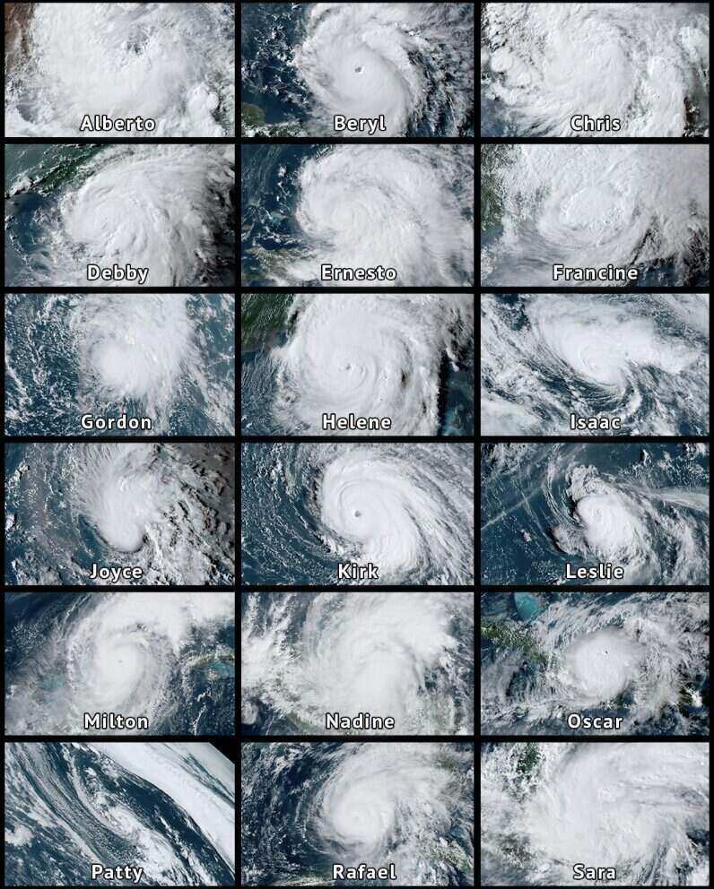
This interesting phenomenon originates from a meteorological physics principle called Coriolis force, which is related to the movement of the Earth. The Coriolis force caused the wind to shift to the right at the northern half of the bridge and to the left at the southern half.
This force creates the typical cyclone movement of storms, cyclone reverse cycles in the Northern Hemisphere and clock cyclone convection in the Southern Hemisphere, explains AccuWeathers leading hurricane expert, Alex DaSilva.
However, at the equator, the force of Coriolis is almost 0. This makes it impossible for storm systems to cross from one half to the other.
Typically, tropical storms only appear at least 5 degrees North latitude or 5 degrees South longitude. The closest approach to equator was recorded as Typhoon Vamei in December 2001. Typhoon Vamei formed in the western Pacific Ocean, only about 160 km from the equator (1.4 degrees North latitude).

The closest tropical depression to equator was recorded in December 7.3. The depression formed at degrees North latitude 0.5 degrees North latitude, then strengthened into a tropical storm at about 0.7 degrees North latitude, according to the China Meteorological Administration.
However, the US National Hurricane Center (NHC) said the system will reach typhoon level as it moves further north, at about 10 degrees North latitude.
This difference may be due to the two weather authorities using different wind force measurement methods.
Another interesting point on the global tropical storm map is the southeastern Pacific, southwest of the US, where there are almost no storms. Tropical or subtropical storms are also rare to form off the eastern coast of the South American continent.
So far, there has been only one storm that has ever formed off the coast of South America, an unnamed storm locally called Hurricane Catarina, which formed in 2004.
According to the US National Hurricane Center, there have only been two other unnamed storms in the southern Atlantic, in 2010 and 2011. Other systems recorded here are subtropical storms, meaning storms with strong winds but do not fully possess the characteristics of tropical storms.
DaSilva said the reason why the western part of South America rarely records hurricanes is because the sea water here is colder. The Peruvian straw carries cold water from the south along the coast, reducing the likelihood of storm formation. In addition, this area also has stronger wind shear, often breaking the structure of storms, preventing them from strengthening.
The sea off the coast of Brazil is not as cold as it is, as the ocean flowing down from the north, but the wind shear is still too strong for the storm to develop, DaSilva added.


