The latest storm information from the Japan Meteorological Agency, Typhoon Sepat, also known as Typhoon No. 2, formed in the waters near the Ogasawara Islands from the morning of June 23.
The storm is active off the Ogasawara Islands, moving northwest at a speed of 15 km/h with a central pressure of 1,004 hectares.
The Japan Meteorological Agency's bulletin said that after approaching Chichijima Island, Typhoon Sepat is expected to weaken to a tropical storm on the morning of June 25.
Meanwhile, on the evening of June 23, the US Navy's Joint Typhoon Warning Center (JTWC) said that Typhoon Sepat was 1,119 km south-southeast of Yokosuka, Japan. The storm had been moving north-northwest at a speed of 28 km/h for the previous 6 hours.
Typhoon Sepat is forecast to continue moving north-northwest along the southwest edge of the subtropical depression range over the next 2 days.
The Korea Meteorological Agency forecasts that the storm Sepatse will strengthen to level 1, with strong winds of 61 to 86 km/h in the southern Pacific, off the coast of Japan. After that, Sepat will weaken into a tropical depression at noon on June 25.
Sepat is the second tropical storm to form in the northwest Pacific this year. Previously, the number 1 storm in the northwest Pacific was Typhoon Wutip, which formed in the East Sea.
The name of Typhoon Sepat is determined according to a list of names submitted by 14 member countries of the World Meteorological Organization (WMO)'s Typhoon Committee. Typhoon Sepat or spot proposed by Malaysia, leaving only one freshwater fish species in the sea carp family.
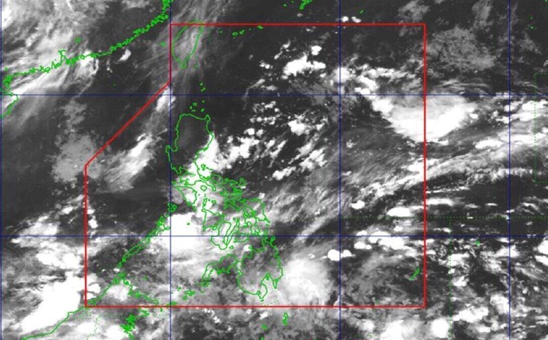
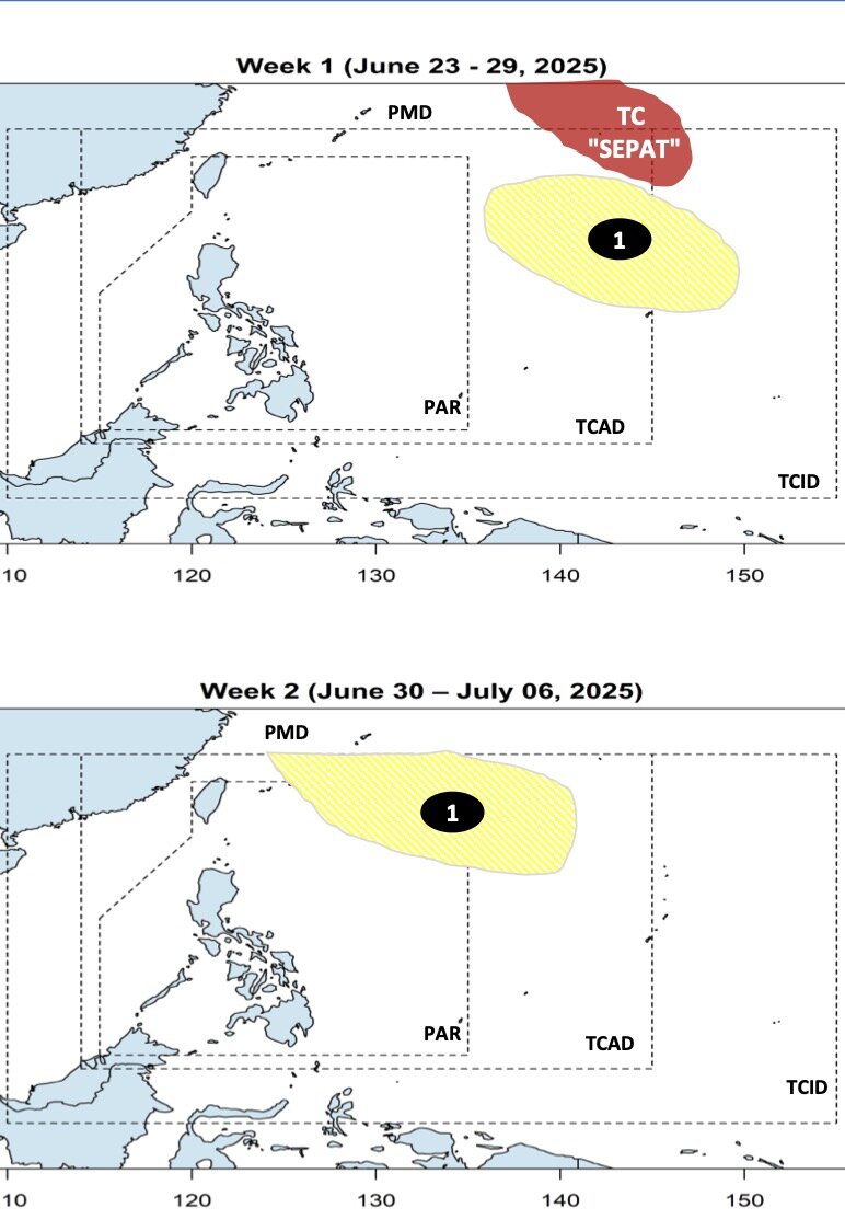
The latest storm and low pressure forecast on June 23 from the Philippine Atmospheric, Geophysical and Astronomical Services Administration (PAGASA) said that Typhoon Sepat is unlikely to enter the Philippine Forecast Area (PAR) and will not directly affect the weather in the Philippines.
During the week of June 23 to 29, forecast models show a low pressure forming at the eastern boundary of PAGASA's TCAD forecast area. This low pressure near the East Sea is unlikely to strengthen into a storm during the forecast period.
During the week of June 30 to July 6, Philippine typhoon forecasters note that the low pressure near the East Sea will continue to move northeast of the Philippine Forecast Area (PAR) and is unlikely to strengthen into a typhoon.