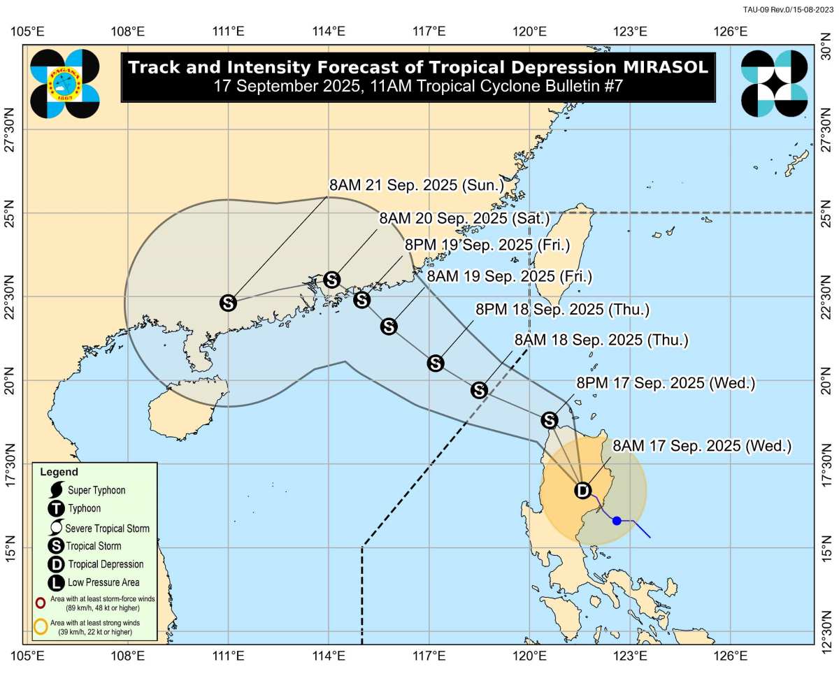
The latest storm information from the Philippine Atmospheric, Geophysical and Astronomical Services Administration (PAGASA) said that at 11:00 a.m. on September 17, the center of the tropical depression was at 13.7 degrees north latitude, 135.9 degrees east longitude, outside the Philippine Forecast Area (PAR), about 1,265km east of Southern Luzon.
The tropical depression has maximum sustained winds of 45 km/h, gusts of 55 km/h, central pressure of 1008 hPa. The strong tropical depression wind range extends up to 200km from the center.
The tropical depression is moving west-northwest at a speed of about 10 km/h. The tropical depression is forecast to enter PAR tonight or tomorrow morning (September 18) and be internationally named Nando. Nando will then continue moving northwest, towards the eastern sea of Northern Luzon.
PAGASA said Nando is likely to gradually strengthen while still over the Philippine Sea and may reach typhoon level early next week (September 22).
In the worst case scenario, the possibility of Nando reaching strong typhoon level when approaching the northernmost tip of Luzon cannot be ruled out.
PAGASA warned that from Sunday (September 21), strong winds and heavy rains could directly affect Northern Luzon.
In the next 48 hours, the tropical depression will not have a direct impact on the weather and sea conditions in the Philippines. However, from September 20, the northern provinces of the Philippines may begin to be affected by strong winds. Heavy rain is forecast to occur from September 21 or 22.
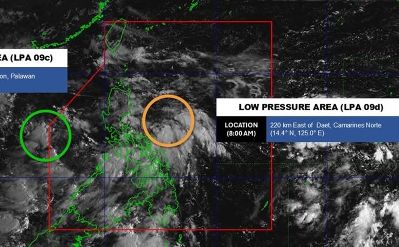
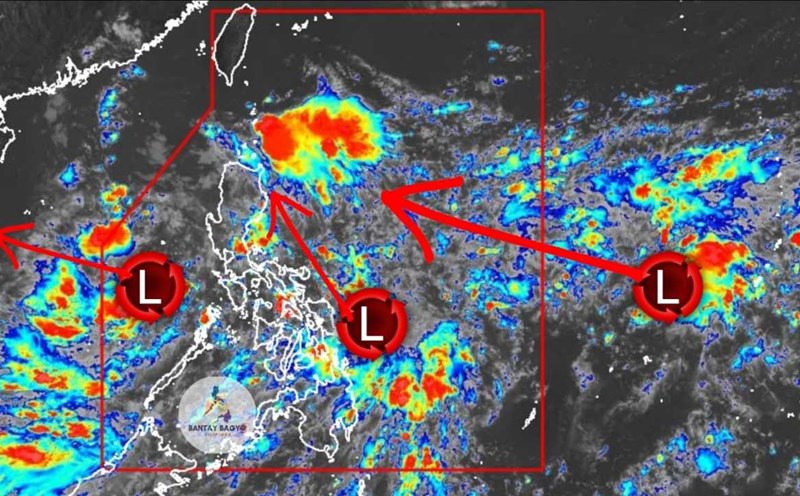
Meanwhile, tropical depression Mirasol continues to pass through Northern Luzon and is currently over Ifugao.
At 10:00 a.m. on September 17, the center of the tropical depression Mirasol was at 16.9 degrees north latitude, 121.5 degrees east longitude, in the Alfonso list area, Ifugao.
Maximum sustained winds of 55 km/h, gusts of up to 90 km/h, and central pressure of 1002 hPa. Moving north-northeast at a speed of 15 km/h over the next 12 hours as it passes through Northern Luzon.
The tropical depression will reappear in the Luzon Strait in the afternoon or evening of September 17 and continue moving northwest until it leaves the PAR in the morning or afternoon of tomorrow (September 18), likely to strengthen into a storm, becoming the 8th storm in the East Sea.