Although it is the peak of the Atlantic hurricane season, the region is still quite quiet. So far, only Hurricane Erin reached Category 5 off the U.S. coast in August, and no other significant storms have yet occurred.
Experts say the main cause is the Sahara dust layer drying out the atmosphere, cutting down 50% of the moisture needed for storms to form. In addition, the phenomenon of Atlantic Nina - an unusually cold front off the coast of Africa - also makes it difficult for tropical cyclones to develop.
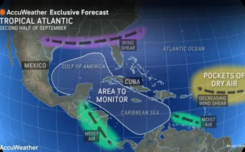
However, the NHC is monitoring a new low pressure off the coast of West Africa. It is forecasted that by mid-or-week, the possibility of tropical depression formation has increased to 60%.
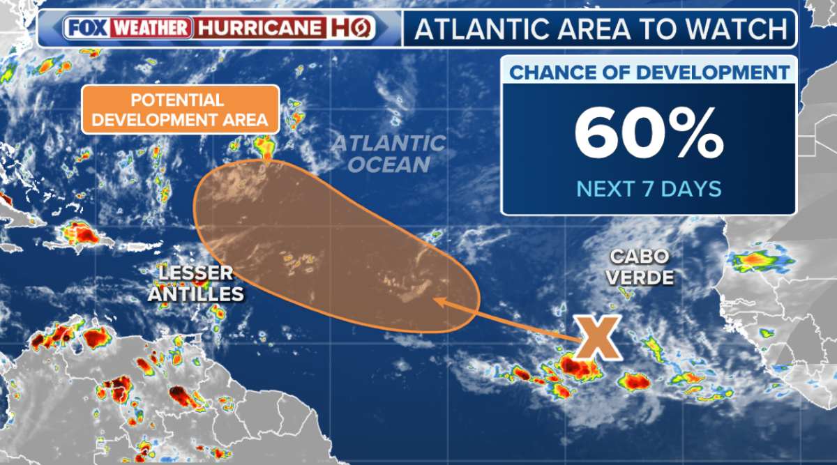
Many hurricane models suggest that this disturbance could become a hurricane, with a general path toward the Caribbean, said meteorologist Bryan Norcross. However, the scenario is still unclear, with the storm likely to turn out to the Atlantic, but there is also a possibility of approaching the Caribbean Islands by the weekend.
If it strengthens, the system could be named storm Gabrielle.
In addition to the low pressure off the coast of Africa, forecasters also warn of the return of the Central American Gyre - a large low pressure area forming over Central America at the beginning and end of the rainy season. The system could bring heavy rains to the area, allowing for storms to form near land.
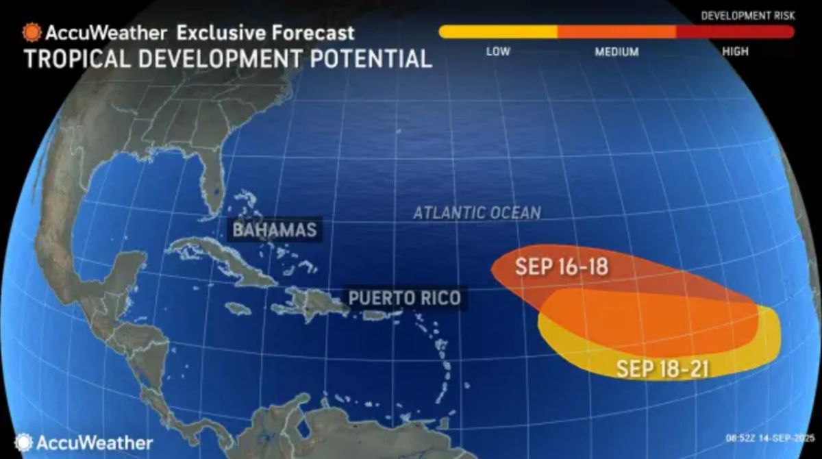
According to the US Climate Prediction Center, the likelihood of storm formation in the Central American and Caribbean waters will increase significantly from mid- to late September. There are no signs of immediate danger yet, but Puerto Rincos and islands in the northeastern Caribbean are advised to closely monitor weather forecasts for this week.
The 2025 Atlantic hurricane season is still more than halfway through, and experts emphasize: The current quiet may just be a quiet period before storms return strongly.