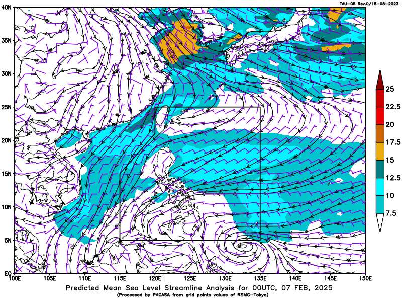
The U.S. Joint Typhoon Warning Center (JTWC) said that a large low-pressure area south of Koror, the largest city in Palau, east of the Philippines, remained unorganized on February 7. Although upper-level winds provided minimal support for development, the system currently has a low chance of becoming a tropical storm before reaching the Philippines later this week.
As the system moves back over the ocean early next week, it may have a brief window to develop into a tropical depression before winds aloft and sea surface temperatures become unfavorable by midweek.
Whether or not it develops, the system has the potential to bring heavy rains to parts of the Philippines this weekend. The JTWC is assessing the 7-day chance of the low pressure system intensifying at 30 percent.
JTWC also issued typhoon warnings for the Taiwan Strait (China), Luzon Strait and waters off southwest Taiwan (China).
According to JTWC, there is currently a strong pressure difference related to the 1028 hPa high pressure mass over China and wind shear troughs to the south and east.
Strong wind warning in the East Sea, waters off northwest Luzon, Taiwan Strait (China) and Luzon (except areas with storm warnings).
Meanwhile, according to the weather forecast of the Vietnam National Center for Hydro-Meteorological Forecasting, early on February 7, cold air affected some places in the northern mountainous region. At Huyen Tran station, there was a strong northeast wind of level 6.
On February 7, this cold air mass will affect other places in the North, North Central and some places in the Central Central, then affect other places in the Central Central and some places in the South Central. Northeast winds inland will strengthen to level 3, coastal areas to level 3-4, with gusts of level 6 in some places.
In the North, the weather is very cold; from the night of February 7, the North Central region will turn very cold, the area from Quang Binh to Hue will turn very cold, some places will be very cold. The lowest temperature in this cold air mass in the North is generally 9-12 degrees, in mountainous areas 5-8 degrees, in high mountainous areas below 3 degrees in some places; in the North Central region, it is generally 11-14 degrees, in the area from Quang Binh to Hue, it is generally 14-16 degrees.
Hanoi area is very cold, some places are very cold. The lowest temperature in this cold air mass is commonly 10-12 degrees.
At sea: From the morning of February 7, in the Gulf of Tonkin, strong northeast wind level 6, sometimes level 7, gusting to level 8-9, rough sea, waves 2-4m high.
In the North East Sea (including the Hoang Sa archipelago), the northeast wind is strong at level 6, then increases to level 7, especially in the East, sometimes level 8, gusting to level 9-10, rough seas, waves 5-7m high.
From the afternoon of February 7, the sea area from Quang Tri to Ca Mau, the area between the East Sea and the sea area west of the South East Sea (including the sea area west of Truong Sa archipelago) will have northeast winds gradually increasing to level 6, sometimes level 7, gusting to level 8-9, rough seas, waves 4-6m high.
From the night of February 7, the sea area east of the South China Sea (including the sea area east of Truong Sa archipelago) will have northeast winds gradually increasing to level 6, gusting to level 7-8, rough seas, and waves 4-6m high.


