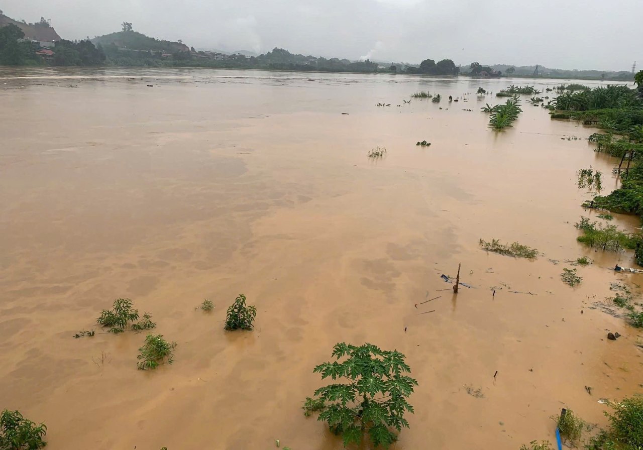
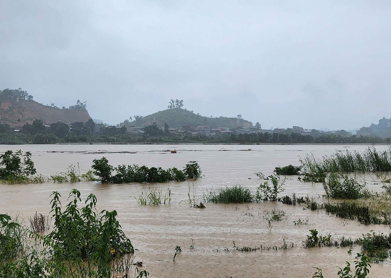
According to the report of the Department of Agriculture and Environment of Lao Cai province, as of 5:00 p.m. on August 26, floods on the Red River were still fluctuating at high levels due to the regulation of flood discharge from upstream reservoirs.
The water level at Ngoi Thia station at 5:00 p.m. was: 46.32m, 0.18m below BD3. On the Red River at Lao Cai station, Yen Bai station, floods are continuing to rise.
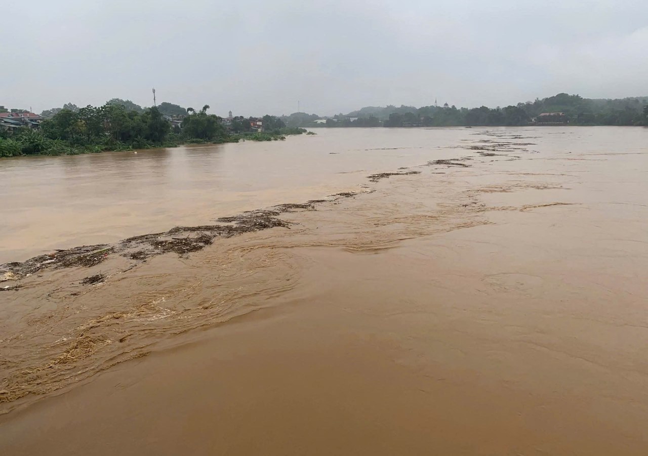
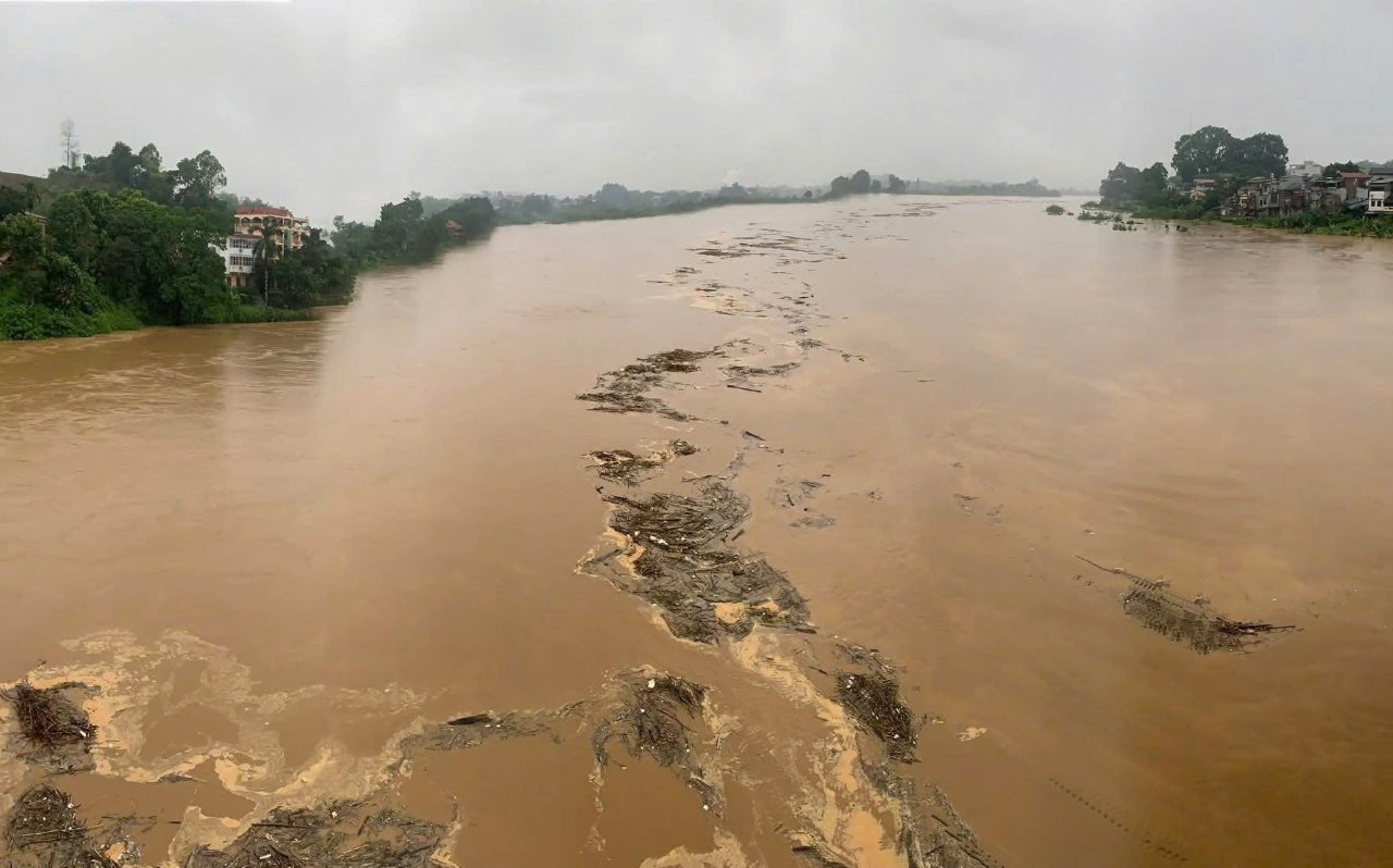
The water level at 5:00 p.m. at Lao Cai station was 79.86m (0.14m below BD); at Yen Bai station was 31.22m (0.22m above BD2).
It is forecasted that in the next 6 - 24 hours, the flood level on the Red River at Lao Cai station, the peak flood level is likely to rise above level 1; at Yen Bai station, it is likely to rise to level 3 (32.00m).
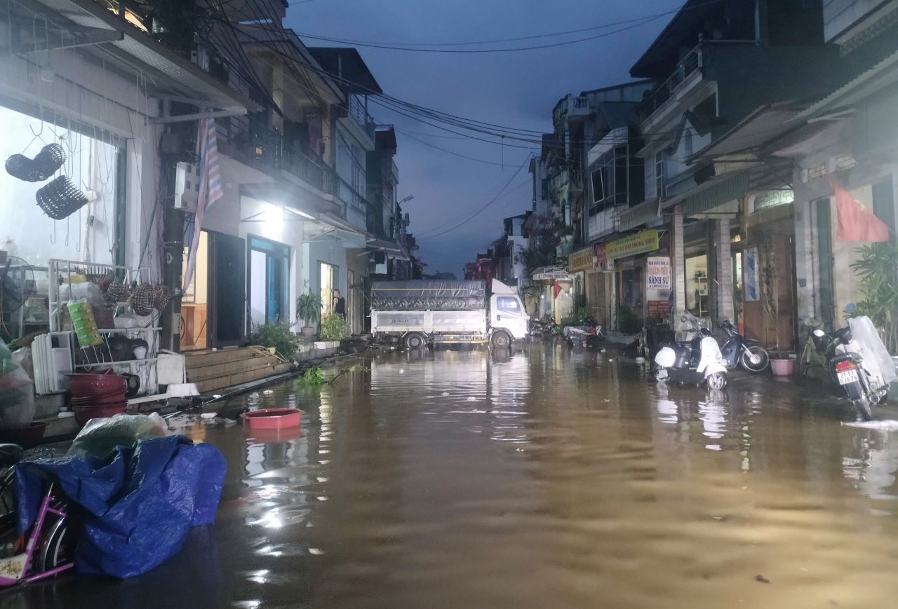
According to the reporter's records, the Red River water flowing through some communes of Lao Cai province such as Mau A commune and Yen Bai ward has overflowed into some streets bordering the riverbank.
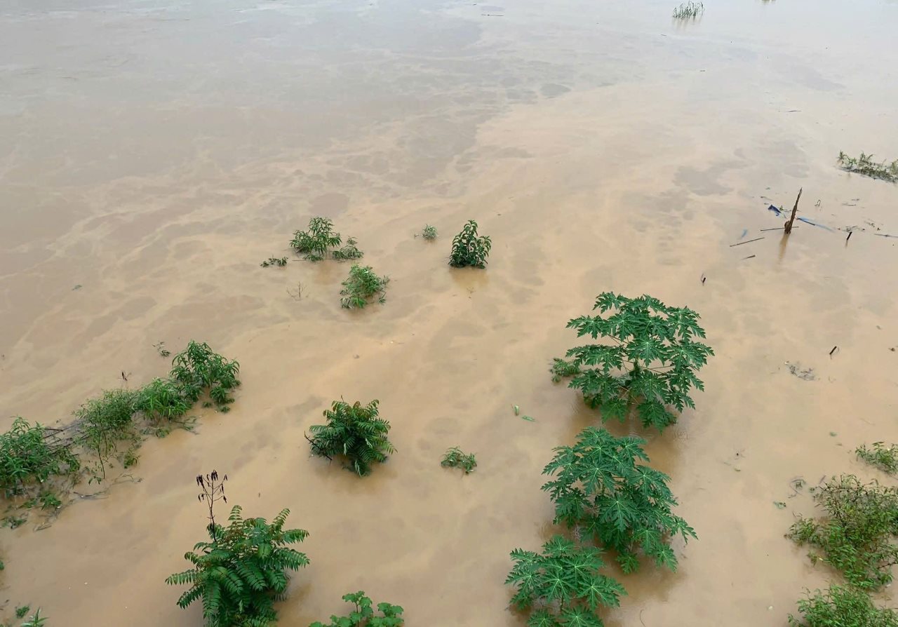
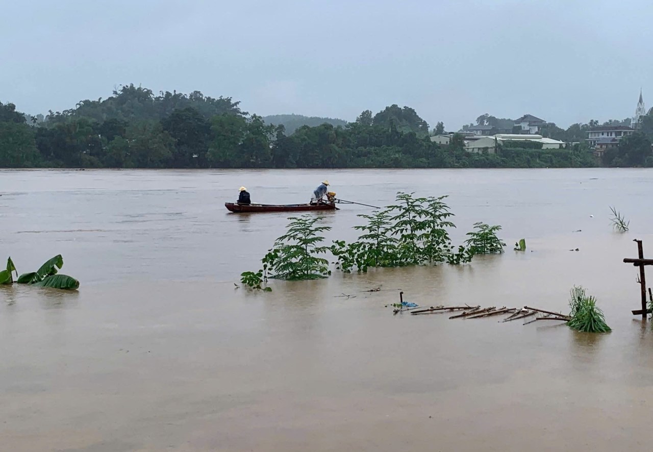
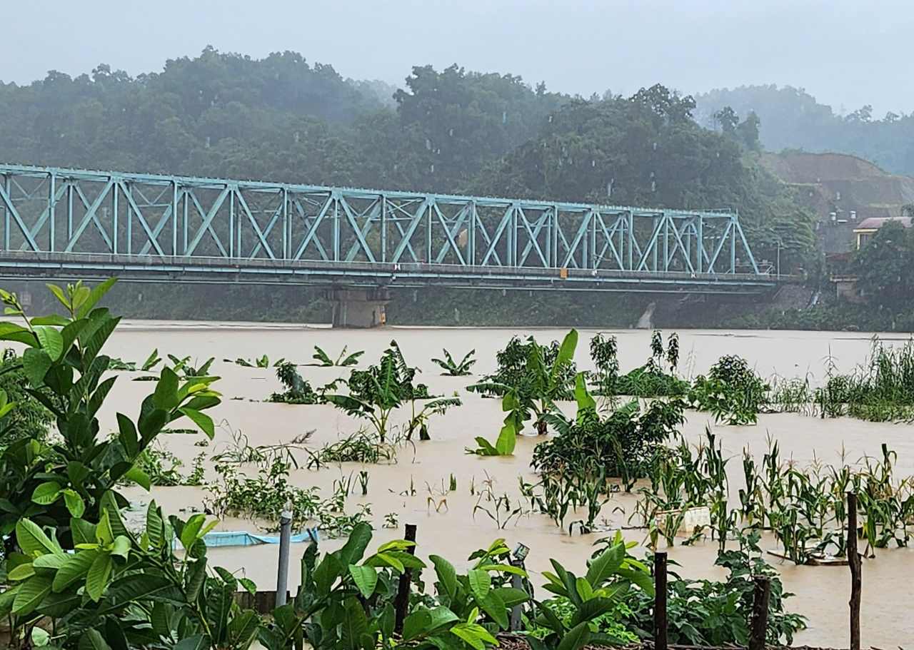
Rising river water has flooded Thanh Nien Street and the Red River embankment in low-lying areas of Hong Tan, Hong Phu, Hong Thai, Hong Thanh residential groups, Yen Bai Ward. Some locations have water levels about 50 - 70cm high.
To prevent flooding, people on the roads adjacent to the Red River urgently moved valuable items to the elevated areas. At the same time, monitor the rising water level to proactively evacuate people to a safe place.


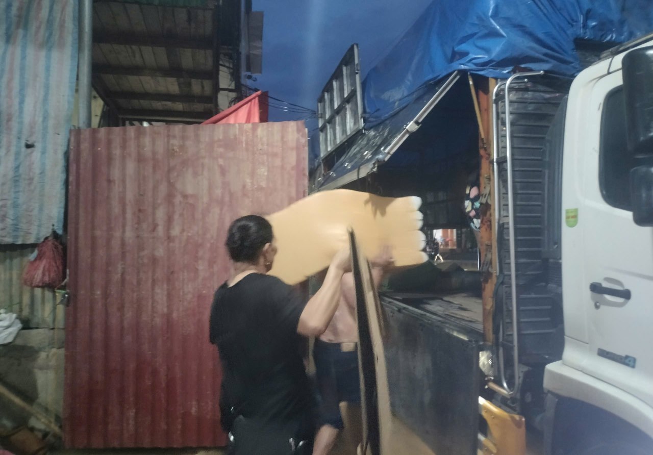

Ms. Nguyen Thi Huong (on Thanh Nien Street, Yen Bai Ward) said that after the experience of the recent storm No. 3, now that people around the area are having to move their assets to another place to ensure safety every time it rains and the water rises onto the road.